
Beschreibung
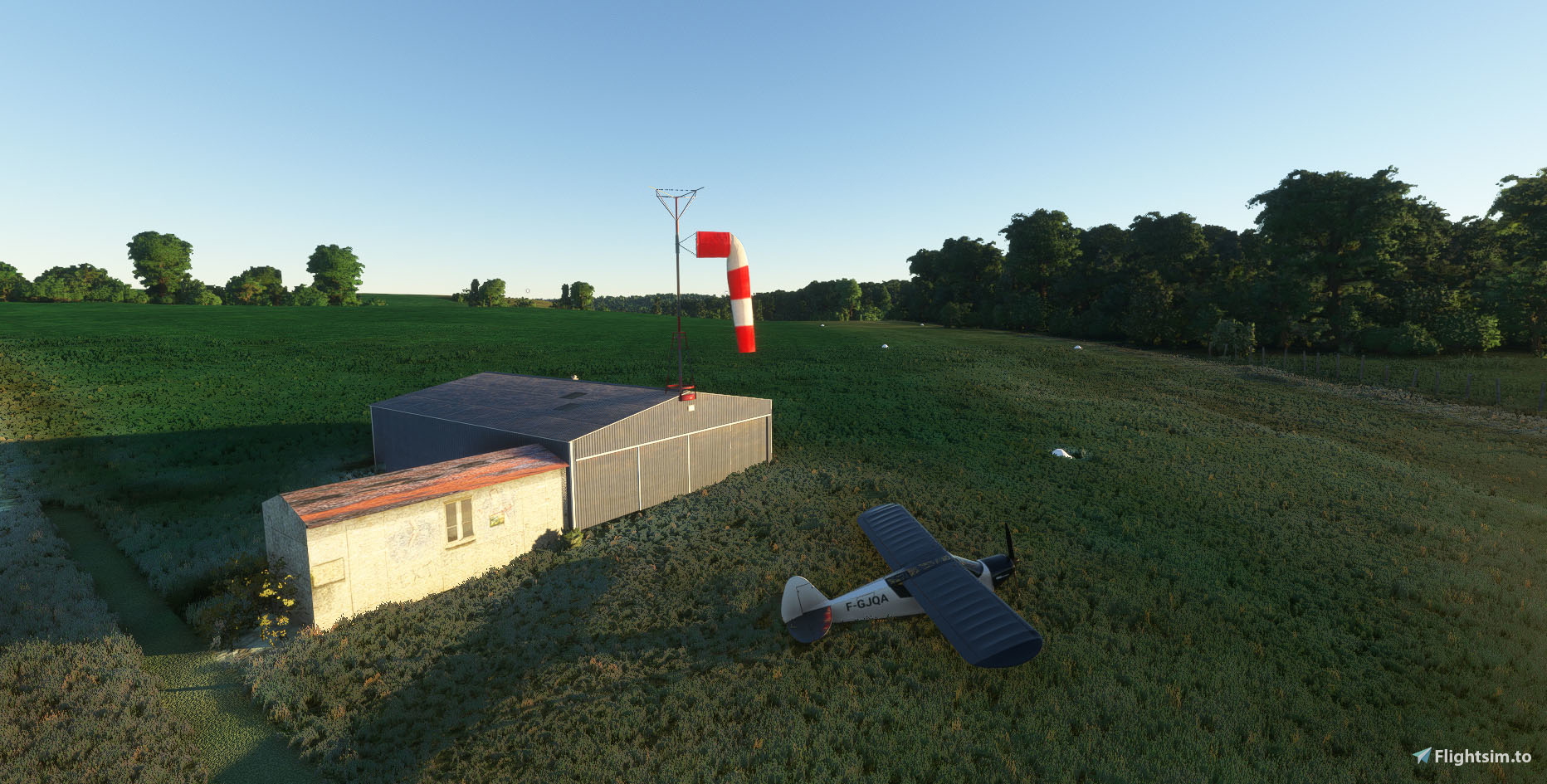
LF6354 Verneugheol F6354 in MSFS
LF6354 is a small aerodrome located in center France between Clermont-Ferrand and Limoges.
It is reserved for daytime VFR navigation.
1 grass track:
01/19 380m x 35m
altitude 2395 feet
The form of LF6354:
https://basulm.ffplum.fr/PDF/LF6354.pdf
GPS : 45.767806, 2.503666
Don't fly there without this scenery :
INSTALLATION :
Remove old folder if necessary.
Drop in your community folder.
You can also leave a comment or put a note, it's always nice and encourages for a new scene, thank you.
Enjoy it.
Michel
---------------------------------------------------------------------
LF6354 Verneugheol F6354 dans MSFS
LF6354 Verneugheol est un petit terrain ULM à l' ouest de Clermont-Ferrand.
01/19 380m x 35m
altitude 2395 feet
La fiche terrain de LF6354:
https://basulm.ffplum.fr/PDF/LF6354.pdf
GPS : 45.767806, 2.503666
Ne volez pas ici sans le "vrai" Puy De Dôme :
INSTALLATION :
Supprimez l' ancien dossier si nécessaire.
Copiez dans le dossier community.
Bons vols.
Vous pouvez aussi laisser un commentaire et ou mettre une note, c' est encourageant pour continuer, merci.
Michel
Location
Terrain ULM Verneugheol LF6354
Explore LF6354 Verneugheol, a small aerodrome in central France ideal for daytime VFR navigation. This add-on includes a 380m x 35m grass runway and sits at an altitude of 2395 feet. Dont miss out on this detailed scenery for Microsoft Flight Simulator.

Unterstützer

Nutzerbewertungen
4 Bewertungen
Versionsgeschichte
new meshes for better visibility.
Ähnliche Addons
Fixes for 425 Papua New Guinea airstrips
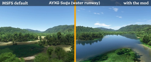
Enhance your Papua New Guinea bush strip flying experience in Microsoft Flight Simulator with this mod that fixes issues at 425 airstrips across the region. From trimming rogue vegetation to flattening runways and rivers, this mod aims to improve the realism of bush strip operations. Explore the remote airstrips of Papua New Guinea without worrying about runway obstructions or unrealistic elements, creating a more authentic flying environment.
von wantok
Bush strips in Idaho & Oregon
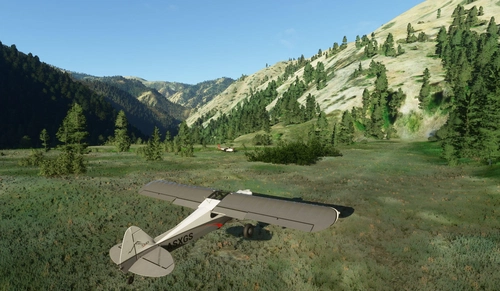
Explore a collection of challenging bush strips in Idaho & Oregon, including Cache Creek, Dewey Moore, and more. These airstrips were not part of the original MSFS content but have now been added with accurate codes and enhanced terrain details based on real-world references. Visit the developers website for in-game videos showcasing the new locations.
von Kronzky
Snowflake Lake Airstrip, Alaska
Fly to the stunning Snowflake Lake Airstrip in Alaska, featuring a 1500 FT gravel runway and detailed scenery with custom environmental elements like butterflies and rain puddles. Experience an authentic backcountry feel with uneven terrain and hand-placed vegetation, ensuring a realistic flight experience. Dont miss out on this immersive addon that brings the beauty of Alaska to Microsoft Flight Simulator.
von Emerald Scenery Design

Fly in more than 160 Bush Strips at Amazonia Jungle / Voe por + de 160 Pistas de Garimpo
Explore over 160 challenging bush strips in the Amazonian jungle, meticulously recreated for an authentic aviation experience. Test your skills with 250-meter runways, tree-lined approaches, uneven terrain, and tight clearances. Immerse yourself in the world of mining aviation with this addon, offering a glimpse into the daring flights of the past.
von Tchockozzo Paulo Figueiredo
Melden Sie sich an, um an der Diskussion teilzunehmen
AnmeldenKommentare(14)
about 20 hours ago
about 12 hours ago
over 2 years ago
over 2 years ago
merci
over 2 years ago
over 2 years ago
over 2 years ago
over 2 years ago
over 2 years ago
over 5 years ago
Très bonne réalisation, et très légère pour ne pas alourdir notre Comuunity.
Thank you for these great ultralight airfields.
Very good render and very light files for faster Community loading.
over 5 years ago
over 5 years ago
Si c' est une mauvaise idée, je peux les retirer.
La maison est native dans MSFS à la place des hangars, j' espère pouvoir la remplacer plus tard, mais priorité aux pistes (j'en ai 2 autres en cours LF1451 et LF1454).
Sur MSFS, d'origine il y avait une "marche" en plein milieu de l' emplacement de la piste, ce qui raccourcissait considérablement la longueur disponible, c' est pourquoi je me suis lancé dans ce projet.
Je confirme le dénivelé réel montant en 01, quand à la butte, je ne vois pas de quoi il s' agit mais je ne manquerai pas d' y jeter un œil.
Par ailleurs il y a inversion des QFU : lorsqu' on choisit un décollage en 19, on se retrouve en 01 et inversement, je travaille à corriger ce bug.
Merci de vous intéresser à cette modeste création.
over 5 years ago
Je suis pilote sur multiaxes dans la vraie vie et je suis toujours heureux de découvrir une nouvelle base sur simu.
over 5 years ago
Cependant, si je compare avec la fiche Basulm + Google Maps :
- Vous avez positionné une maison sur le côté de la piste à la place de ce qui est vraisemblablement un hangar ULM assez classique
- Dans la réalité, il n'y a pas les marquages de numéros de pistes a priori
- Le dénivelé semble important dans MSFS, est-ce autant dans la réalité ? Et en approche 01 il y a une butte assez gênante en courte finale que je ne retrouve pas sur Google Maps.
Merci !