
Beschreibung
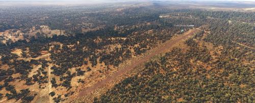
Corryong is a small country town located on the South West Slopes of the Great Dividing Range in the far north-eastern corner of Victoria, close to the border with NSW. It is surrounded by picturesque scenery and unspoilt natural attractions including rivers, mountains and forests. Australia's highest mountain (Kosciuszko 2,228m) lies only 20nm to the SSE.
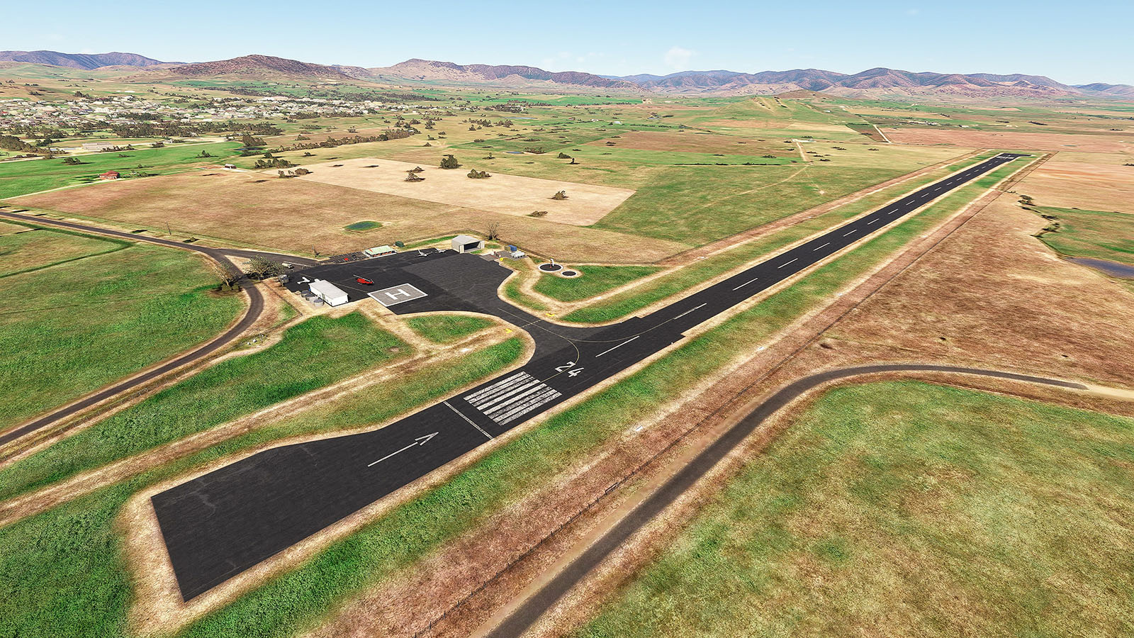
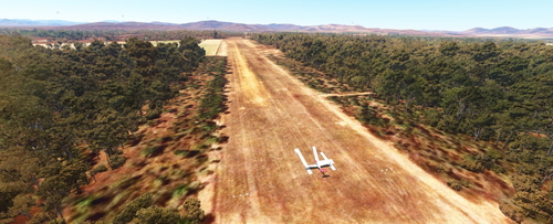
The airfield has a single 1,401m long runway, oriented 06/24. Moderately high terrain exists in all directions, so be mindful in poor visibility. Night operations are not permitted.
- Sorry, I still don't have 3D modelling skills, so I've implemented stock and commonly available scenery objects (Thank you ColinJ and totof!)
- Adjusted terrain for accurate runway slope
- Apron closely matches real life
- Perimeter fencing
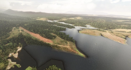
- Filled the dams in the vicinity with water
Enjoy!
Dependencies
Please see the dependencies tab for details. Please also keep in mind that I may have used scenery objects from various World Updates, so if you don't have all WUs installed you may miss an object here or there. Important. With Version 0.3.0 I have utilised custom ground textures from some WU airports. If you don't have these installed you may see pink/missing textures. In particular these are: MUCL, FAWC, LILO and EGLF
Abhängigkeiten
Location
YCRG Corryong
Experience the charm of a small country town with the YCRG Corryong add-on for Microsoft Flight Simulator. Located in Victoria, Australia, this scenic destination offers a picturesque backdrop of rivers, mountains, and forests. Fly into the single-runway airfield, surrounded by stunning natural beauty and enjoy a realistic simulation with adjusted terrain and accurate runway slope. Unlock the unique RNAV24 approach and explore the unspoilt attractions of Corryong from above.
Nutzerbewertungen
3 Bewertungen
Versionsgeschichte
- MSFS 2024 compatibility
In Sammlungen enthalten(1)

Ähnliche Addons
YFLI Flinders Island
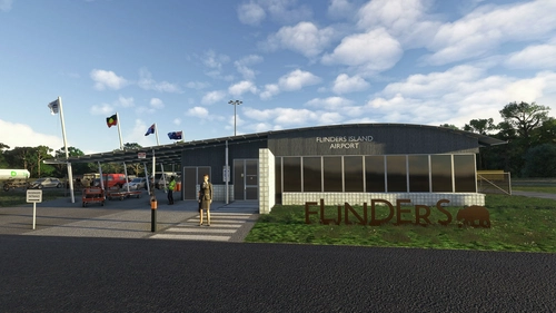
Explore the stunning yet challenging YFLI Flinders Island add-on, offering a realistic rendition of the Australian airfield. Experience accurate runway placement, AI taxi network, and enhanced lighting. Dive into the immersive world of Flinders Island with added vegetation corrections and man-made obstructions. Bonus features include AI traffic for added realism and a revamped YKCK Killiecrankie airport.
von gunther
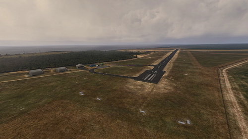
YMCO Mallacoota
Experience the beauty and precision of YMCO Mallacoota add-on, featuring accurate runway placement, AI taxi network, and corrected vegetation. This package also includes bonus AI traffic and a recreated airstrip near the iconic Gabo Island lighthouse. Immerse yourself in the detailed recreation of this important coastal town airport in Victoria.
von gunther
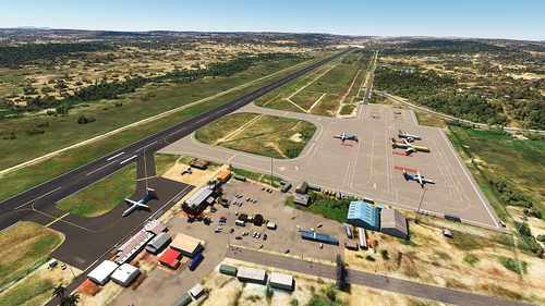
HTMW Mwanza
Discover Mwanza, Tanzania, situated on Lake Victoria, known for its unique aviation history and environmental challenges. Explore this regional airport (ICAO: HTMW), frequented by regional flights and heavy cargo transports, with a scenic update for Microsoft Flight Simulator. Experience a bustling aviation hub with connections to nearby destinations, while navigating through updated runway and apron layouts for a more immersive flying experience.
von gunther
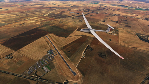
YMBD Murray Bridge
Explore YMBD Murray Bridge, a small privately owned airfield in South Australia. This add-on includes a simple rendition of the airport, featuring a GA flying school, an UL flying school, and a gliding club. Version 0.2.0 update now offers the sealed main runway and aprons in their current (2023) form. Add-on dependencies include object libraries for enhanced scenery details.
von gunther
Melden Sie sich an, um an der Diskussion teilzunehmen
AnmeldenKommentare(7)
6 months ago
6 months ago
over 2 years ago
Many Thx for this from Warstein in Germany
over 3 years ago
Really appreciate your work on Corryong! I only drove past for a look at it earlier this year, such a nice location!
Some great photos and 360s of the parking area and facilities can be found on google maps by clicking the "Corryong Airbase" tag. This one, in particular, shows a lot: https://goo.gl/maps/Zsdb7y5YkDGJv7wz5
Would you be able to add in the new refuelling station?
Adding Aprons with different textures on top of each other with different materials and decals can create some nice details also, worth exploring :)
over 3 years ago
Thanks for that link. DIdn't think about checking out "street view". Quite detailed. I'll have a go at matching the scenery a bit better.
over 3 years ago
Not a problem :) It's a real treat when Glenn Bachelor has been in the area, has some great images...
https://goo.gl/maps/51UJZJhtqGJhkB3z7
That would be amazing!
over 3 years ago
Really appreciate the addition of the RNAV Approach! It's such a shame that the vast majority of stock airports are missing the actual procedure/s information for flight planning/GPS compatibility...
It doesn't look like an easy task to add it, however, many airports across Aus are fairly similar in their RNAV approaches. A template or two would make adding them to other airports a little easier for others!