
Beschreibung
Iditarod Checkpoint #15 Southern Route.
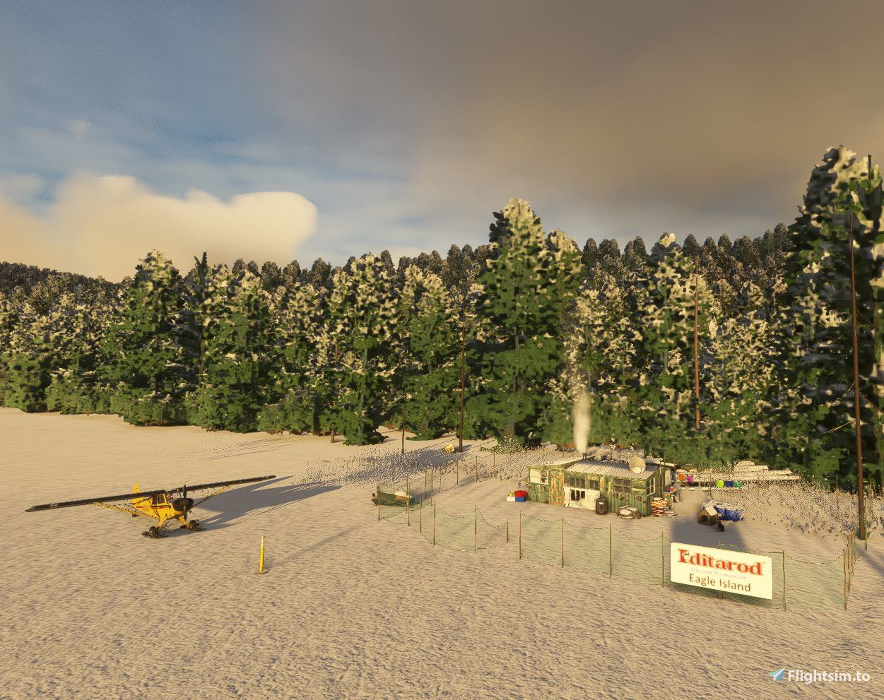
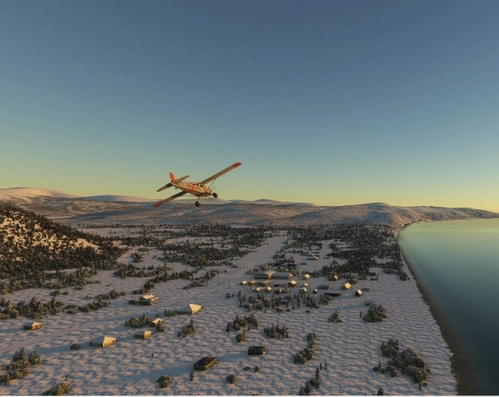
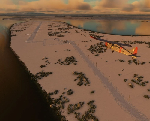
The first week of March annually marks the beginning of the Iditarod race from Anchorage to Nome Alaska. In odd years the race takes the "Southern " route. (See map.) Of the 23 checkpoints, all but 5 have regular airstrips to service the race teams. Eagle Island Airstrip is not a year-round airport. It is built each year using snowplows and snow machines by the Iditarod organization and the Iditarod Air Force. It is built on approximately the same location each year. As such, the airport ID "PXEI" is a fictional code.
At this checkpoint, the musher finds his constant battle with cold winds on the Yukon River about half over, but it’s still a long 65 miles to the next checkpoint. Ralph Conatser’s cabin, the only dwelling in Eagle Island, is the checkpoint.
To learn more about the Iditarod, its airports, and the race itself, go to the Iditarod.com website. I’ve included a link to a short video, Wings of the Iditarod that features the Iditarod Airforce. https://iditarod.com/2024/09/08/wings-of-the-iditarod/
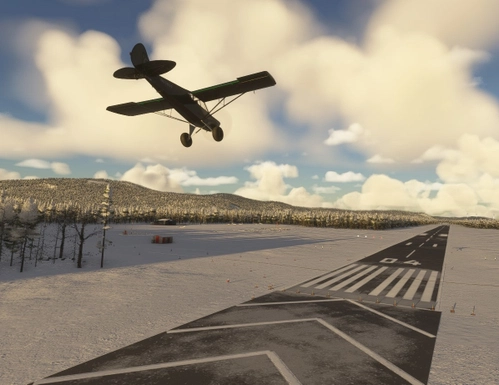
Dimensions: 1300 x 75 feet (400 x 25 meters)
Surface: Ice / Gravel
Runway: 02 / 20
In order to replicate Iditarod conditions, I recommend setting your sim Weather parameters to:
Month = March. Snow Depth = 29”. Temperature = 0 degrees.
Installation:
Copy the airport folder inside of the Zip file into your MSFS Community folder.
This airport was created using Standard Asobo/Microsoft libraries found in the sim. I also used the FREE “UK2000 Common Objects Library”, and the FREE “Emerald Objects Library” found in the sim Market Place. If you have not previously installed these libraries in your Community folder, some objects may not be visible in your sim. Remember, you only must install these one time. All Microsoft World Updates should be installed also.
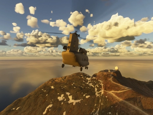
There is an Easter Egg installed.
Location
Eagle Island Airstrip (PXEI)
Experience the thrill of the annual Iditarod race with Eagle Island Airstrip (PXEI), a temporary checkpoint on the Southern Route. This fictional airport is built each year on the Yukon River to serve race teams, with dimensions of 1300 x 75 feet and a surface of ice/gravel. Immerse yourself in the race atmosphere by setting your sim weather to March conditions and discover an Easter Egg hidden within the scenery. Just copy the airport folder into your MSFS Community folder to start exploring this unique location.


Nutzerbewertungen
2 Bewertungen
Versionsgeschichte
This is a major upgrade that makes this airport both MSFS 2020 and 2024 compatible.
In Sammlungen enthalten(3)



Ähnliche Addons
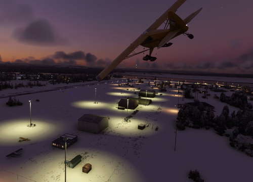
McGrath Airport (PAMC)
McGrath: Population 400 -- McGrath is located in the interior of Alaska. The only way to get here is by airplane, unless you’re crazy enough to drive a snow-machine or mush your dog team on the Historic Iditarod Trail. The airport covers an area of 641 acres at an elevation of 341 feet. It has two runways: 16/34 is 6,000 by 100 feet with an asphalt surface and 5/23 is 2,000 by 60 feet with a gravel surface. It handles an average of 30 flights per day, 80% commercial, and 20% general aviation.
von 55tom55
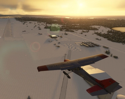
Nikolai Airport (PAFS)
Nikolai: Population 125 -- This is the first of many Native villages along the Iditarod Trail. In 1963, the local residents cleared their own airstrip. This made year-round access to the outside world possible. This is Iditarod checkpoint #7. To learn more about the Iditarod, it's airports, and the race itself, go to the Iditarod.com website.
von 55tom55
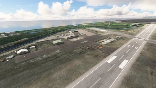
PAOM Nome AK Version 3 20
Another complete rebuild of my PAOM scenery
von Mountainair
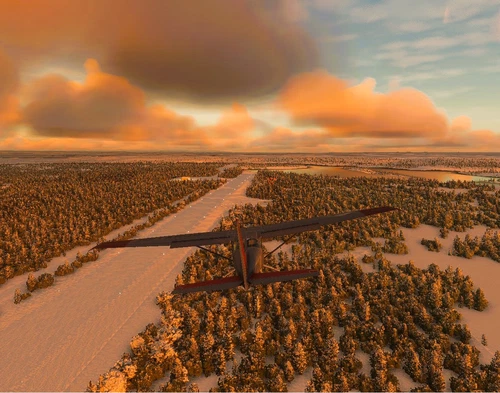
Skwentna Airport (PASW)
Skwentna has a population of about 30 people and lies on the south bank of the Skwentna River at its junction with Eight Mile Creek. This small village is located west of the Mat-Su Valley and is a 70-mile flight from Anchorage. The first permanent settlers did not show up until after the Alaska Road Commission cut the Iditarod National Historic Trail in 1908. Roadhouses were later constructed along the trail, including the Old Skwentna Roadhouse, to service the prospectors, trappers, and Alaska Natives who used sled dogs to transport goods over the trail.
von 55tom55
Melden Sie sich an, um an der Diskussion teilzunehmen
AnmeldenKommentare(4)
3 months ago
4 months ago
thank you very much for your update.
Greetings from the Wild West Forest Germany. :)
about 2 years ago
Greetings from Germany
Willowfsx
about 2 years ago