The story so far:
Early this year I found CoolGunS GA Highway Project - a route from Australia to Europe in GA friendly hops for which he is creating custom airports. To get to the start line at Derby (YDBY), I flew from Parafield (YPPF) via Alice Spring (YBAS). Then across the Timor Sea to Rote Island and DC Saudale (WATR) and on to Letkol Wisnu / Lt Colonel Wisnu (WADE) at the western end of Bali. Next I slogged into a 25kt headwind the length of Java to Budiarto (WIRR) at the western edge of Jakarta. Due to time constraints, I stopped at Silampari (WIPB) before heading on to Raja Haji Abdulla south of Singapore on Great Karimun Island.
A word to the wise: never edit and caption pics while feverish, no matter how much you can't sleep. I had to redo all of these when I looked at them again later in the week.
Today's leg looked easy, if long. Up the Malay Peninsula to the ankle above Phuket. There didn't appear to be any real sign seeing opportunities and the only POIs on the map are the Mid Valley Megamall and the Petronas Towers in Kuala Lumpur. I would pass by a few place names that loomed large in my childhood imagination like Penang and Malacca. If it proved too long, I figured I would break the trip at Penang as I had some scenery options.
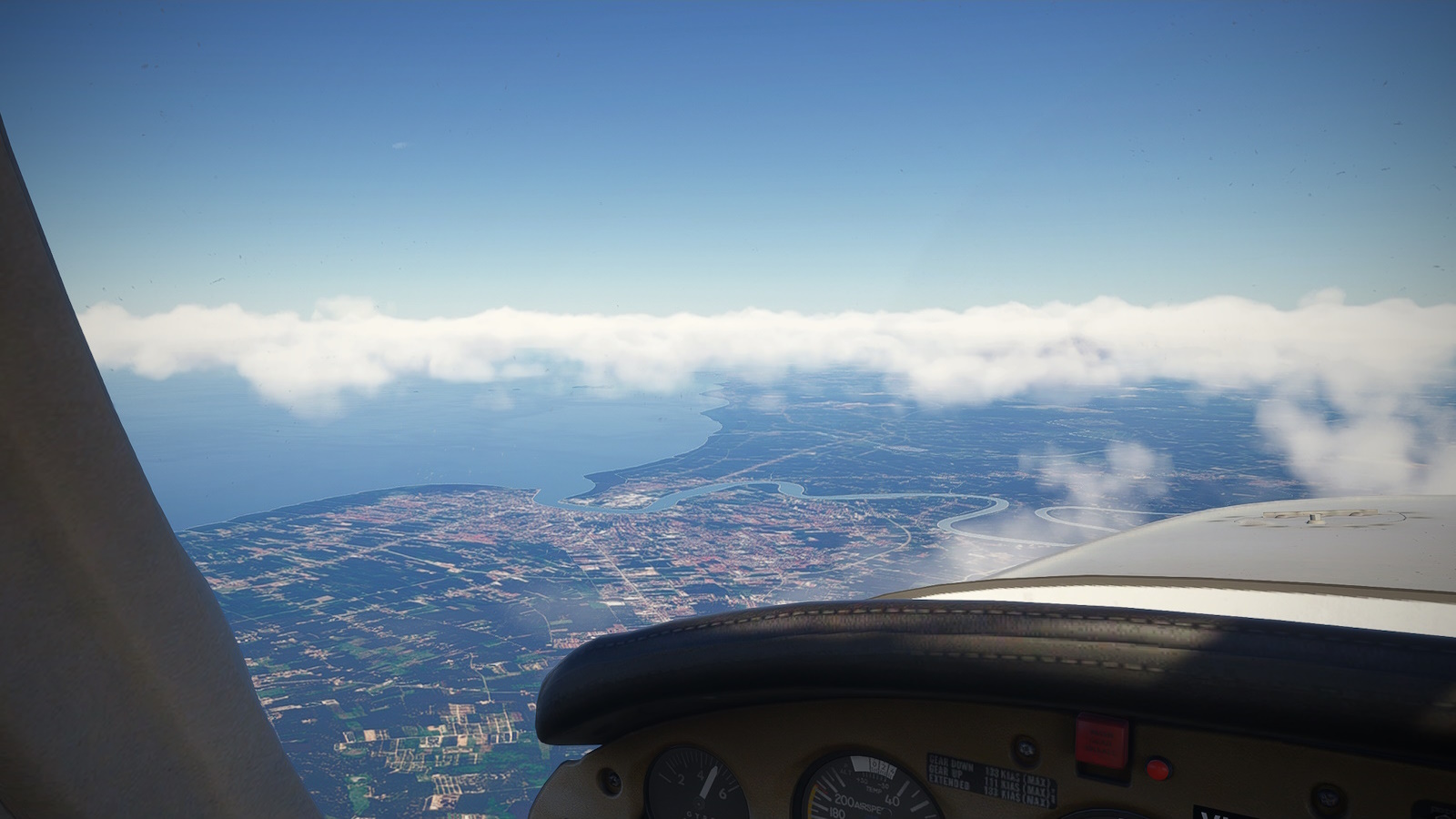
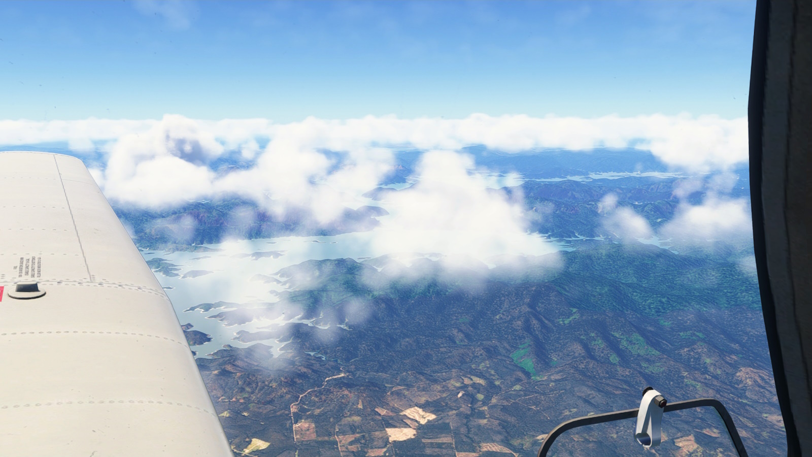
I set off relatively early, with 5-10kt winds out of the south east. With traffic turned on, it became apparent there was a lot of traffic for Singapore (WSSS) coming down the Malacca Strait and using the BOBAG transition (stop sniggering, that's what its called). Turning north, I kept low across the Class B until clear of the traffic and could turn north west and climb to 9,000ft. I watched a steady stream of airliners heading the other way.
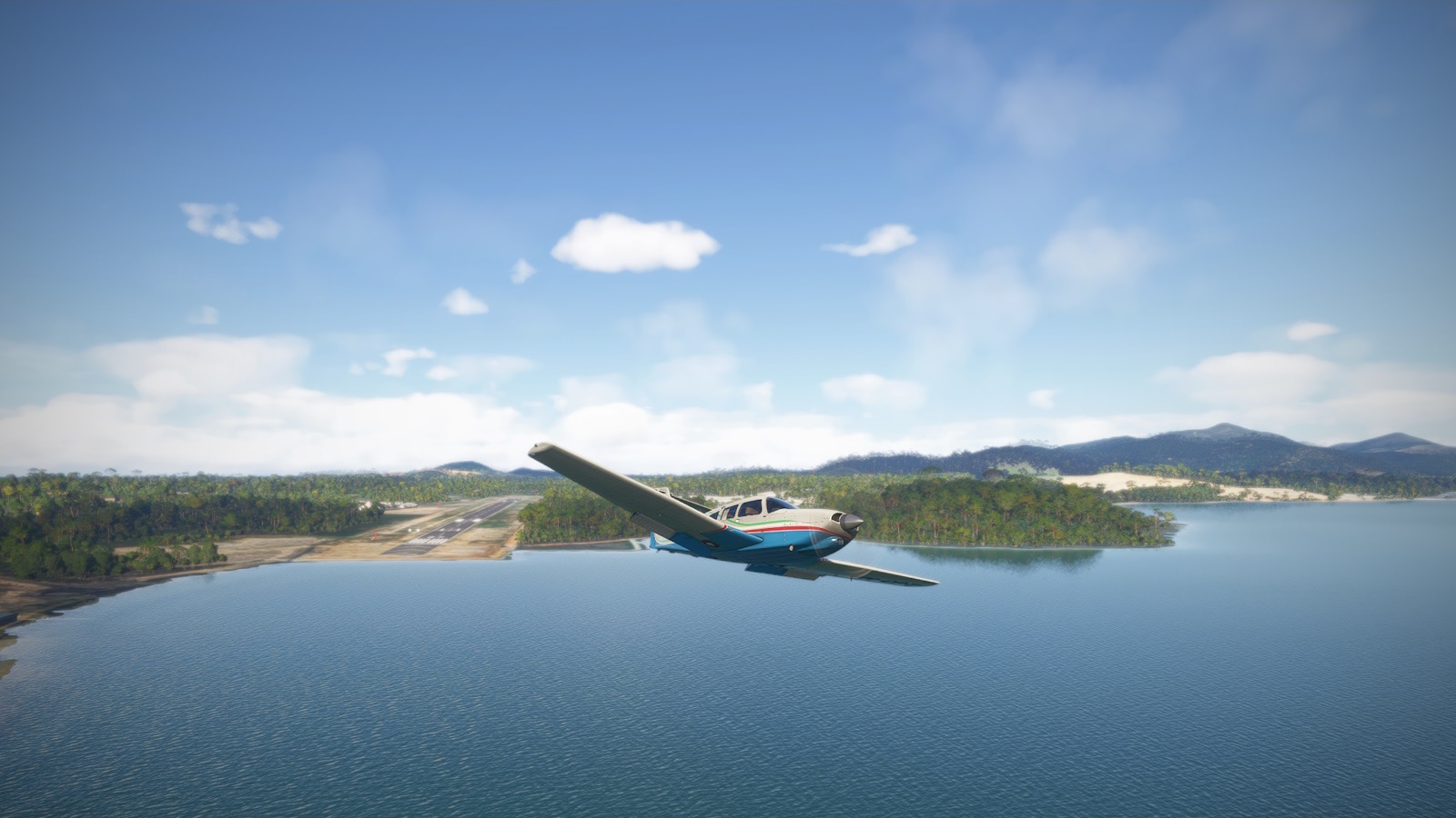
After waiting for Wings ATR we are off. First order of business is crossing the Malacca Strait, keeping low to avoid the steady stream of traffic for WSSS
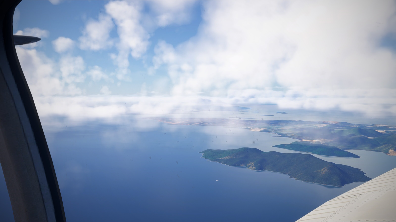
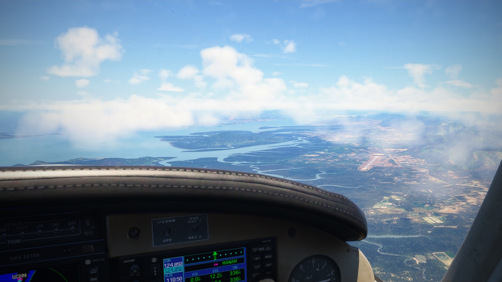
Clear of the traffic I started my climb. At centre is the Straights of Johor which separates Singapore on the right from Malaysia on the left.
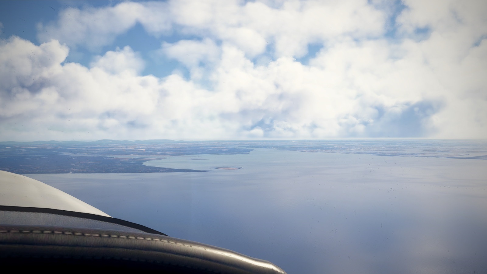
A last look back at Great Karimun. Farewell Indonesia, its been a pleasure. At lower centre you can spot on of those Singapore bound flights I was trying to avoid.
So that is Indonesia done. Its been quite a trip. Amazing scenery, locations and history, and I discovered a new scenery maker. I feel like I barely scratched the surface. I shall definitely be back - its been a blast. If you are looking for somewhere new to fly, it comes highly recommended.
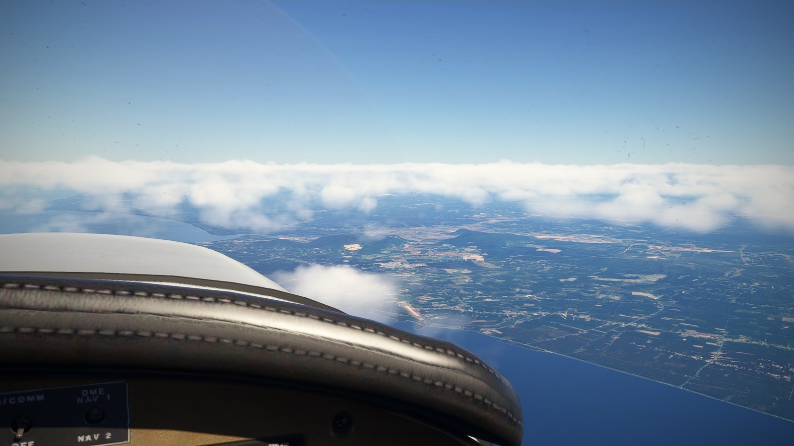
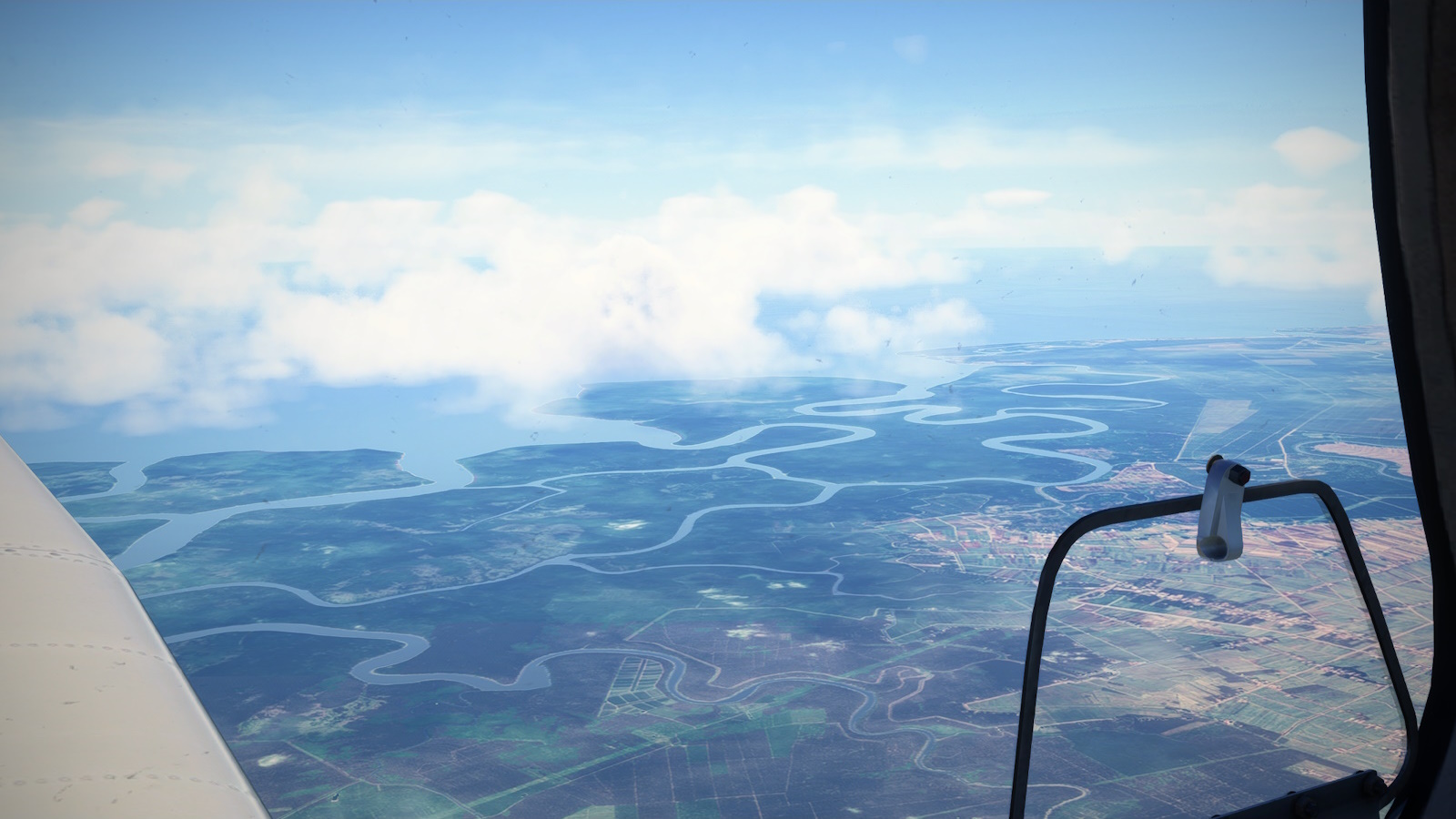
Crossing the Malaysian coast at Batu Pahat. There looks to be an airstrip, either disused or missing from MSFS.
Passing Muar and the mouth of the river of the same name. Look at those meanders - that's some seriously flat terrain compared with the other side of the Straight.
I crossed the Malaysian coast at Batu Pahat, a city of about 400,000 people nicely situated above the mouth of a sizeable river. Next, I passed Muar, a slightly smaller city, similarly situated and with some interesting colonial architecture (according to Wackypedia).
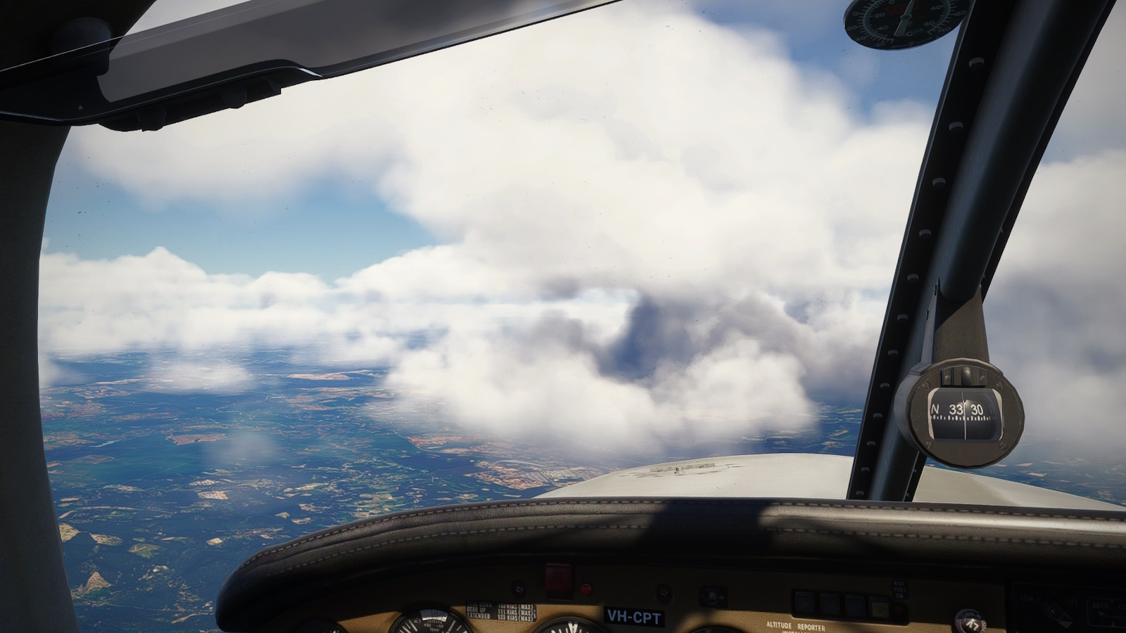
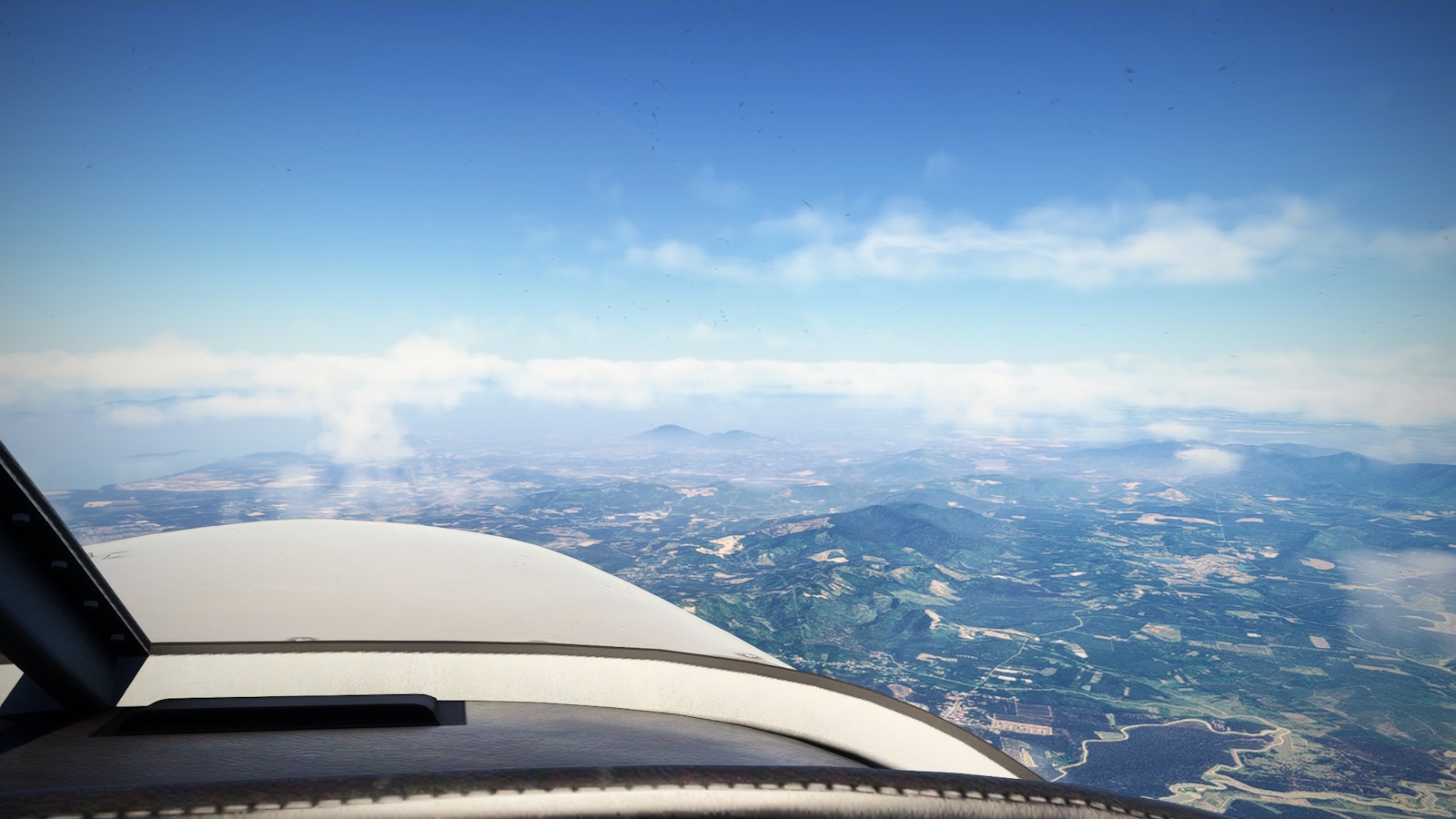
As I approached Kuala Lumpur I met the first weather of the trip.
By the time I reached Malacca, more properly Bandaraya Melaka, the cloud was building both ahead and over the coast. I couldn't pick out see Sepang Raceway Kuala or even the massive Kuala Lumpur International (WMKK) right next door. I really didn't fancy descending blind in the hope of breaking through and passed on by KL (as we seasoned international travelers call it), picking my way to the left around the thundheads.
Beyond KL I got a glimpse of the wetlands and paddies around Sabak Bernan
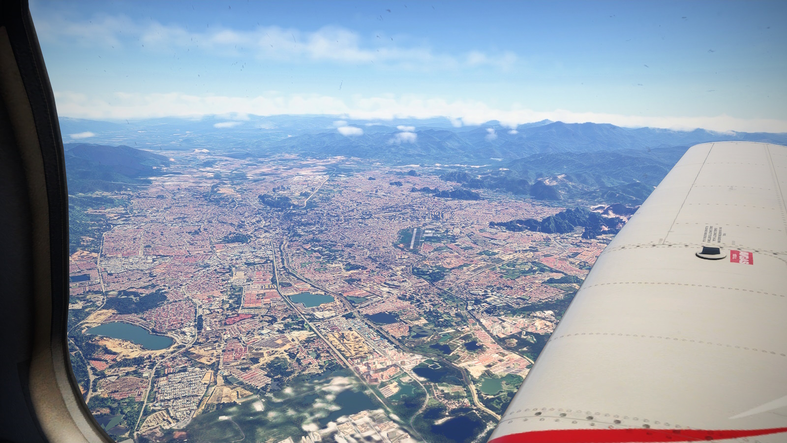
The historic city of Ipoh, gateway to the Cameron Highlands.
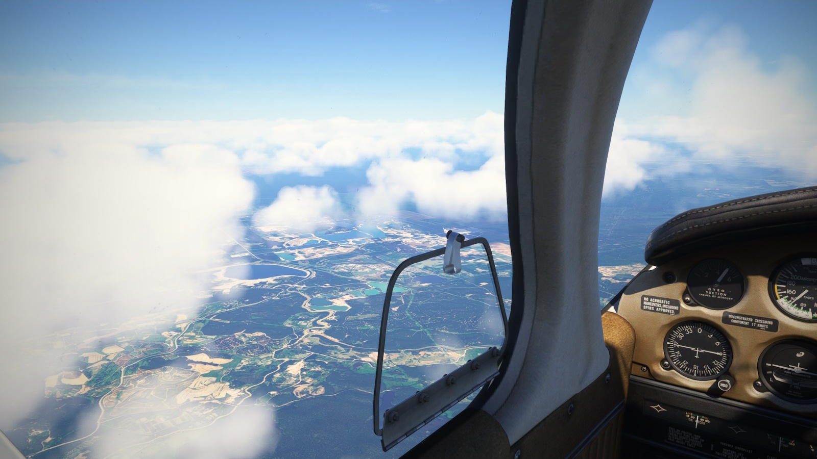
On the far side, the cloud started to clear again and I got a great view of Ipoh, a city so famous for its colonial era architecture that it has stood in for historical Saigon, Bangkok and Hong Kong. But by Taiping it was building again. It will be no surprise to learn that Taipin is the wettest town in mainland Malaysia with 2,700mm of precipitation annually. That's over a hundred inches for the metrically challenged.
The Matang Mangrove Reserve west of the city of Taiping. A great place for bird watching I hear.
My first sight of Penang, Bukit Bendera or Panang Hill poking through the cloud.
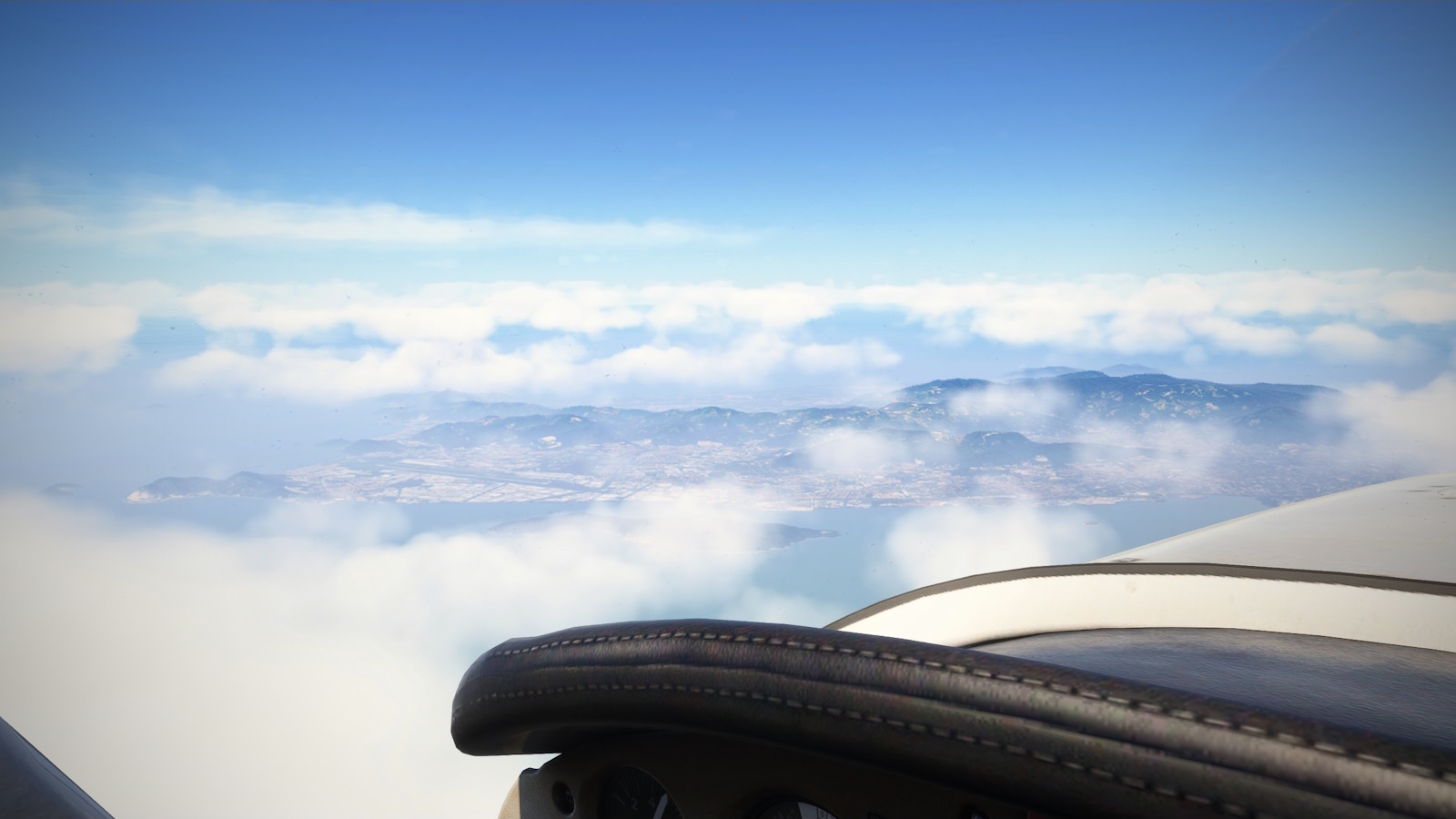
Penang Island and Georgetown. The halfway point in today's flight.
And so I reached the halfway point, Penang. I have mates with fond memories of being stationed at RAAF Butterworth so I was considering a stop over. But I was making good time, fuel was good and I would pick up a 15kt tailwind when I turned north.
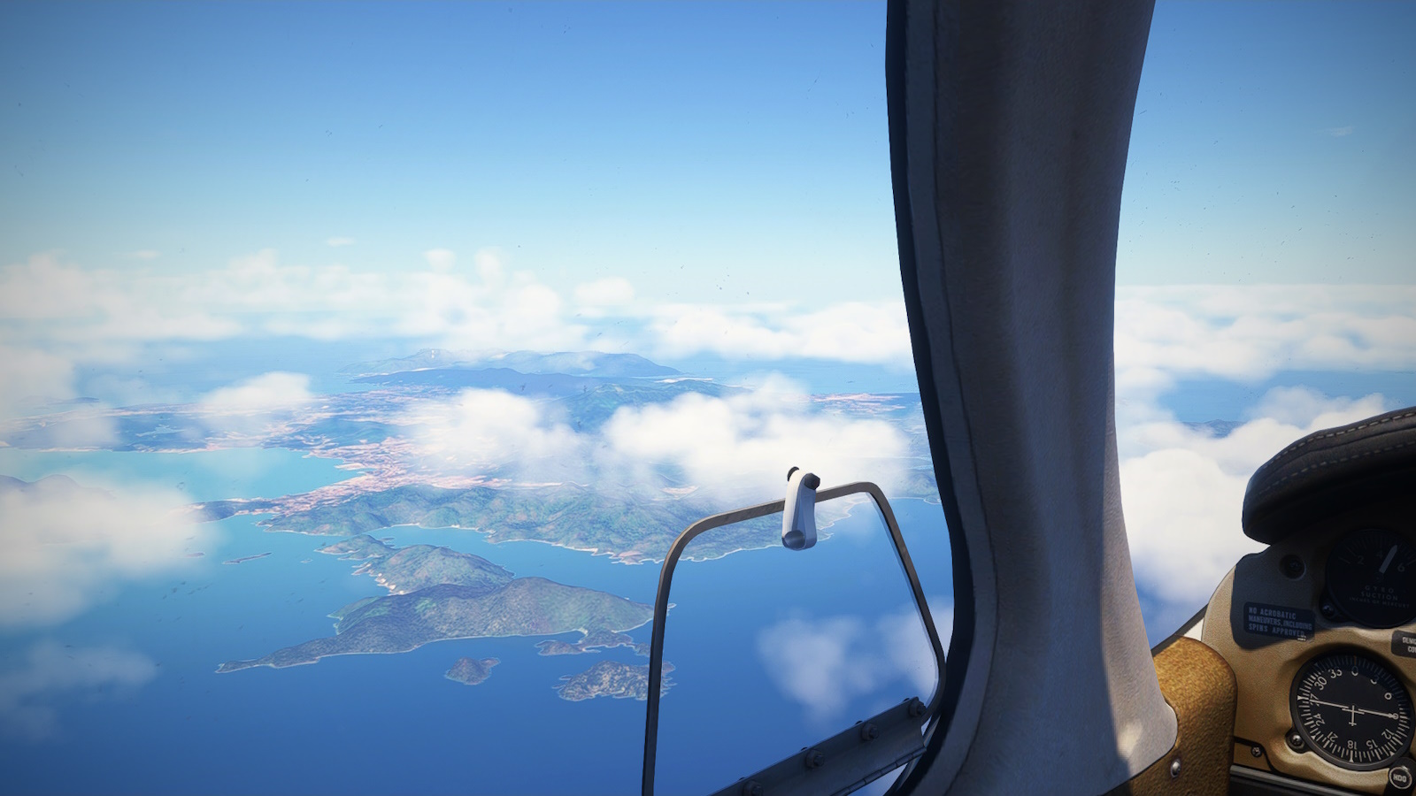
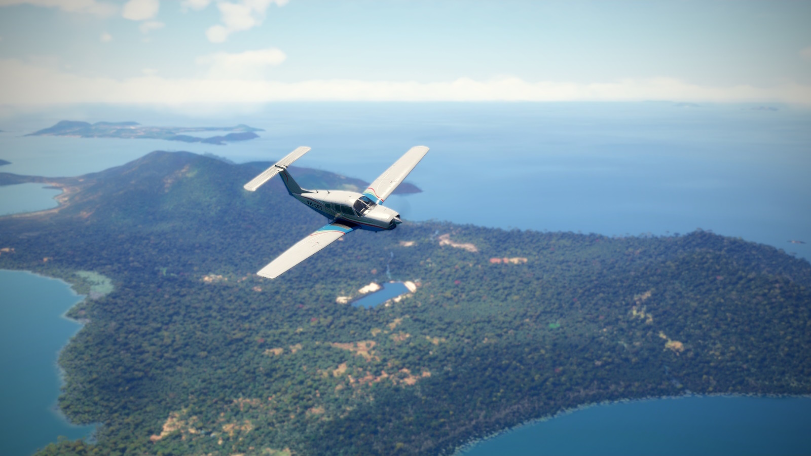
Langkawi, once known as Pepper Island and a haven for Pirates. Now its Malaysia's answer to Bali.
So onward it was along a coast I know little about. I passed Landkawi, and archipelago of 99 islands, plus a few only visible at high tide. Originally a centre of the pepper trade (it was actually called Pepper Island) it became a haven for pirates (a wretched hive of scum and villainy, no doubt) until pacified by the Royal Navy in 1946(!?). It is now Malaysia's answer to Bali.
Crossing into Thailand. Phuket in the far side of those mountains and cloud.
The Andaman Sea! I started my descent, being mindful of the approach path for Ranong (VTSR). The channel at centre is the Thai - Myanmar border. My destination, kawthoung (VTSR) is on the far side.
I turned for final over Thaty Kyun Island, former home of the Andaman Club.
I passed over the southern finger of Thailand and the rocky hills of the Thai-Myanmar border to my destination at the resort town of Kawthoung (VYKT).
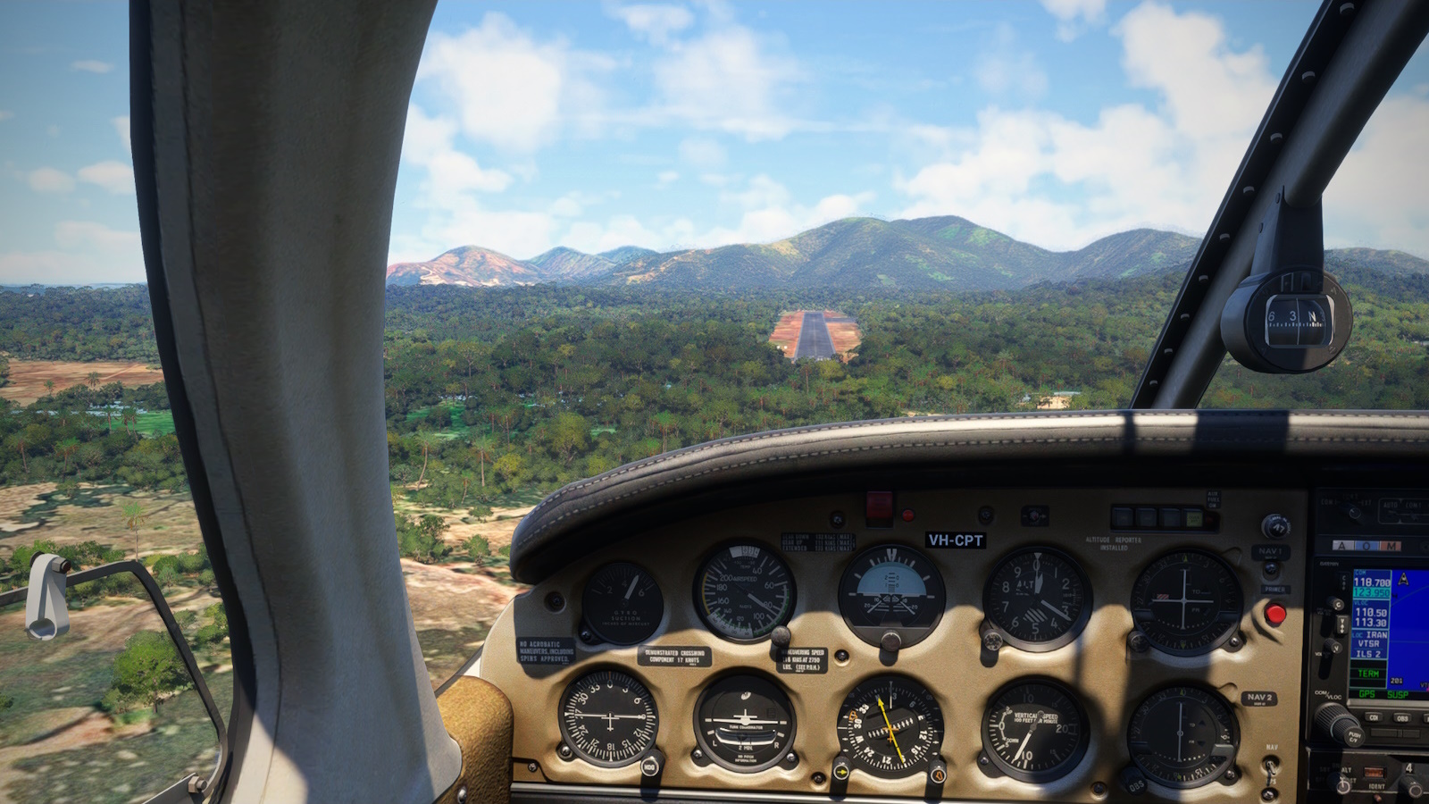
Short final at Kawthoung (VTKT). I landed a little long to avoid the trees but at 2,000m there is plenty of tarmac for the little Piper.
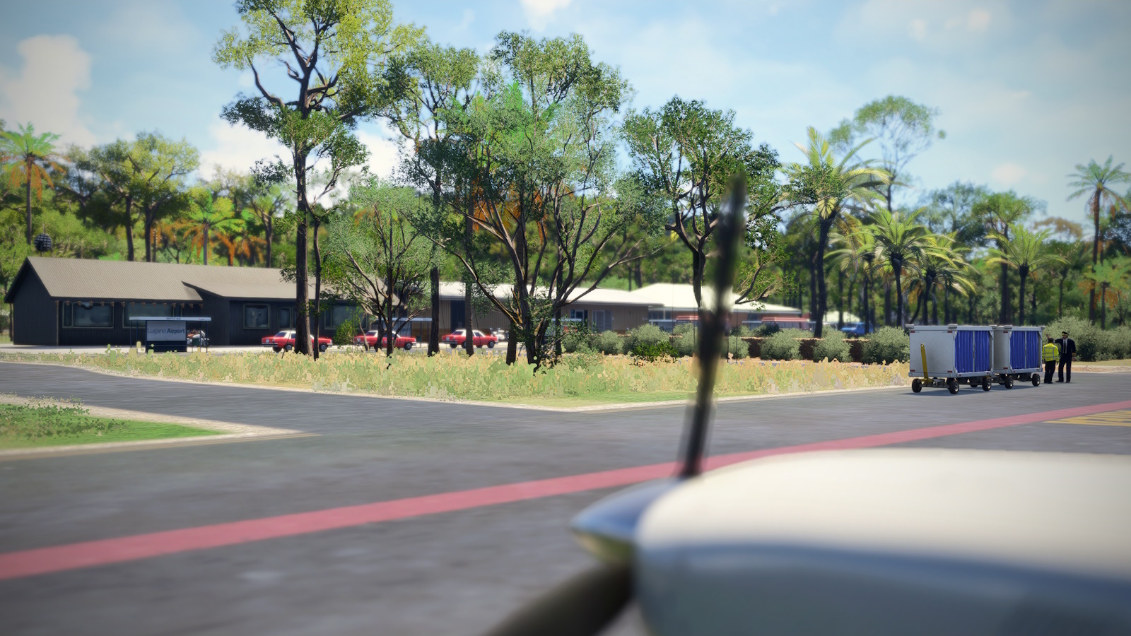
Parked up at Kawthoung for the night. There's no one else on the apron but it looks like they are expecting a commercial flight.
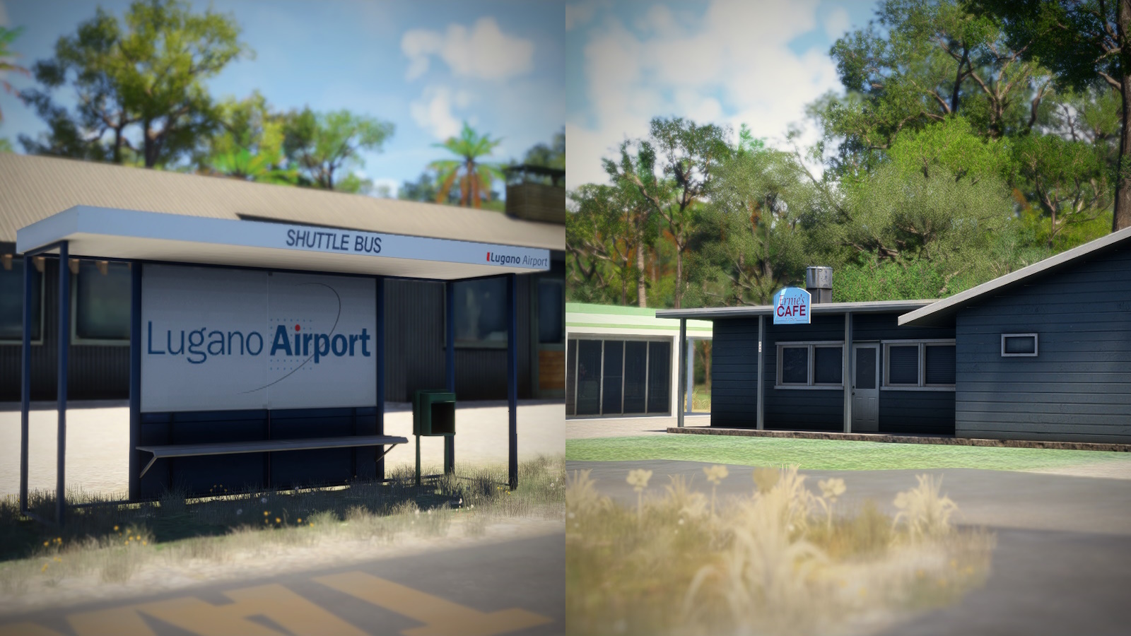
[Left] Oh good an airport Shuttle. Wait! Lugano?! That's quite a shuttle.
[Right]Aha! That's what I want right now!
Kawthoung was and Arab-Malay fishing port and called Port Victoria under British rule until 1948. More recently it reinvented itself as a resort town for Thais but that trade seems to have fallen off since the military coup in Myanmar. There was a 5 star golf and casino resort on the island just south until it ceased operation in 2024 with an arrest warrant issued for its owner. It seems not all the pirates have left the area. Now the town looks a bit down-at-heal but charming and with some interesting and cheap hotels. I shall try for the rather nice looking and very reasonable ($62 a night according to Google) Victoria Cliff hotel, a bowl of noodles and maybe a selfie at the Bayint Naung monument behind. I hear that's what the kids do these days.
Technically that's country number six but I feel like I can't count Malaysia and Thailand as I didn't land in either.
The next leg is a similar length but without a good halfway break option. In the second half, there a couple options to visit kychungdotcom's VTPM or a port of the (now very) old Martin Strong VTCH scenery from FS9.
Previous installment: GA Highway to Europe Project Leg 4 Pt 2
The start: GA Highway to Europe Project Prologue
7