The story so far:
Early this year I found CoolGunS GA Highway Project - a route from Australia to Europe in GA friendly hops for which he is creating custom airports. To get to the start line at Derby (YDBY), I flew from Parafield (YPPF) via Alice Spring (YBAS). Then across the Timor Sea to Rote Island and DC Saudale (WATR) and on to Letkol Wisnu / Lt Colonel Wisnu (WADE) at the western end of Bali. Next I slogged into a 25kt headwind the length of Jave to Budiarto (WIRR) at the western edge of Jakarta.
After the last marathon and seeing this leg is nearly 600nm and I hoped to do some sightseeing, I decided to split it into two flights. To that end, I looked around for somewhere about halfway with with a nice looking addon scenery. After considering WIPO and WIPP I bought WIPD by Neo_Corp (AKA Yokinono author of the <u>Wonderful Indonesia</u>landmarks package).
Well the best laid plans and all that. The Jakarta weather kept me on the ground until 11am when the rain stopped long enough to take off. Through the rain, I spotted a C130 and a Global Express on the military stand at Bundiarto. I am not sure if those are statics or FSLTL doing its magic, but I presume the latter is a visiting Malaysian VIP since Indonesia don't operate any Bombardiers but their neighbor does.
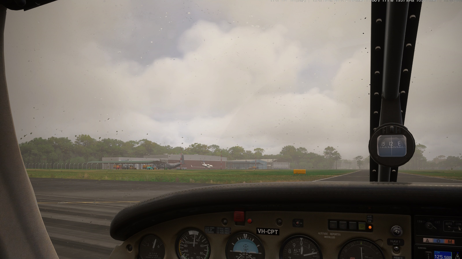
<center><i>Taxiing out past the military apron in the rain.</i></center>
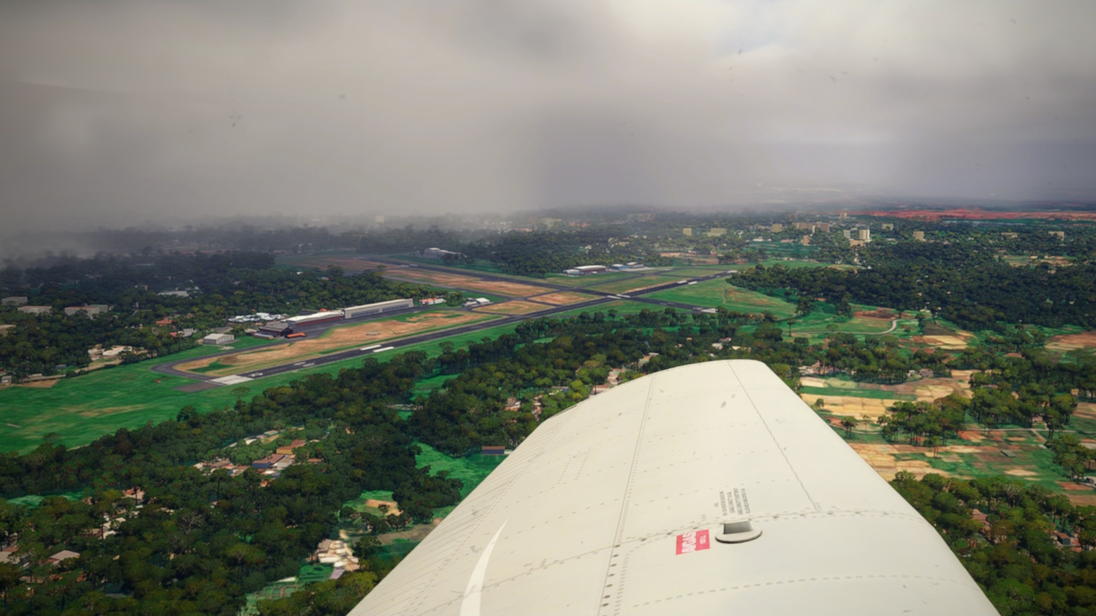
<center><i>Turning NE toward Jakarta proper. You can see the rain front that just passed over. Airport scenery is <u>WIRR Budiarto by CoolGunS</u>.</i></center>
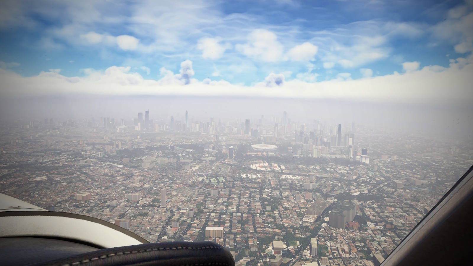
<center><i>Well that's officially a nope to sightseeing.</i></center>
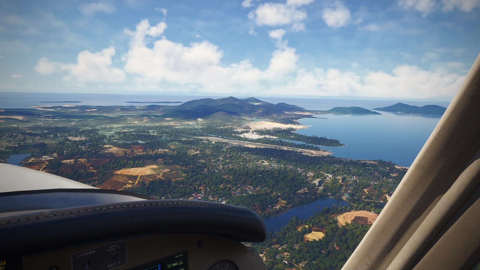
Jakarta sight seeing was a complete bust, annoying because both Asobo and Yokinono have added a bunch of landmarks to the world's biggest city. Instead of circling around the north side of Soekarno-Hatta International as planned I turned west toward the Sunda Straight and the highlight of this leg: Krakatoa.
<center><i>Sightseeing abbandonned, I turn west passing south of the very busy Soekarno-Hatta International airport. The weather appears to be heading to the south west which suits me fine.</i></center>
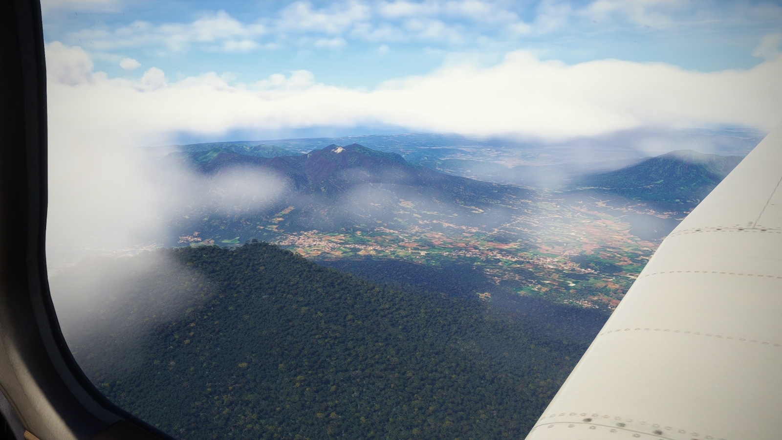
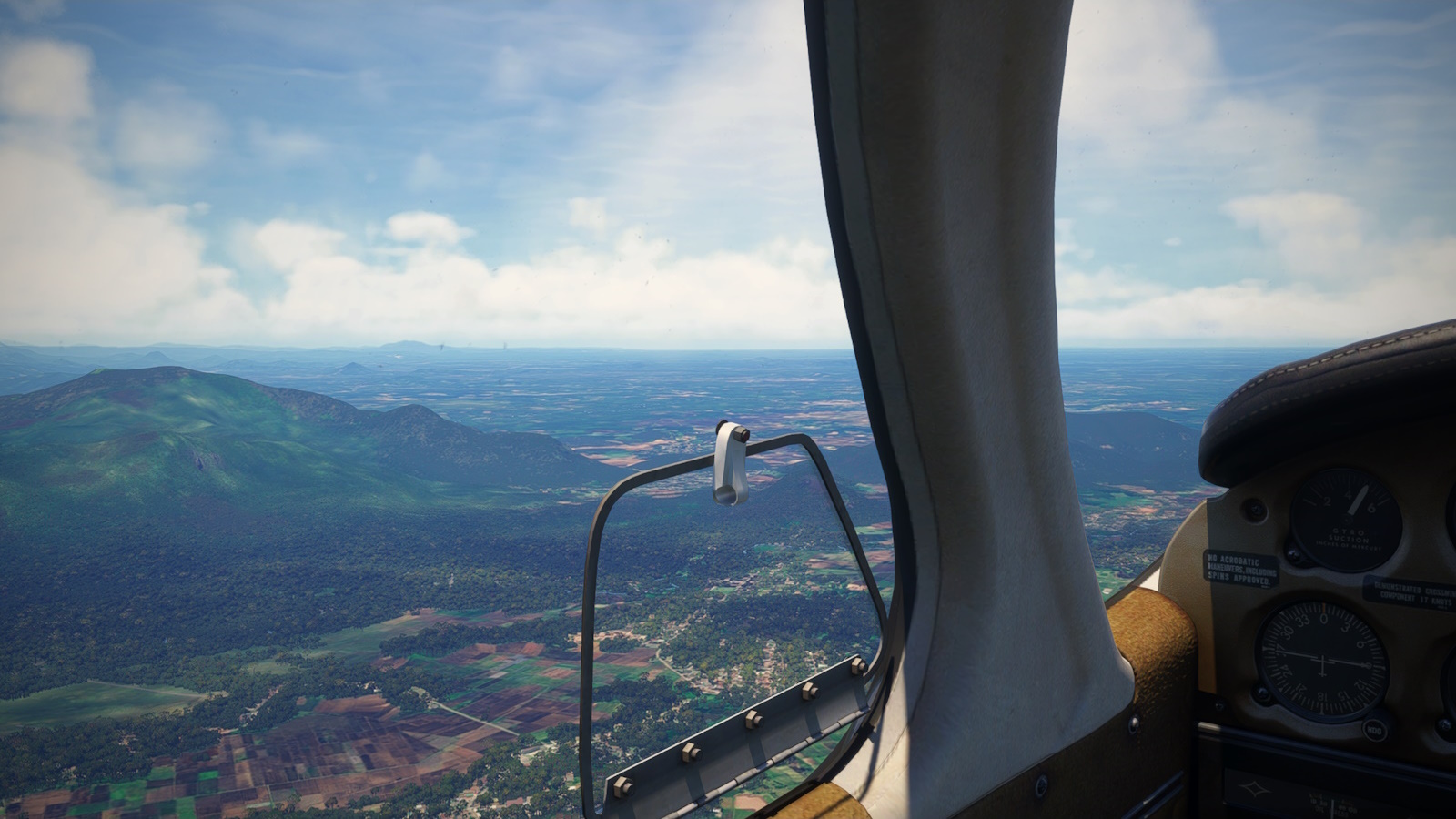
<center><i>My next landmarks were Gunung Karang and Gunung Pulosari, two more active volcanos, and the crater of Gunung Jeungjing.</i></center>
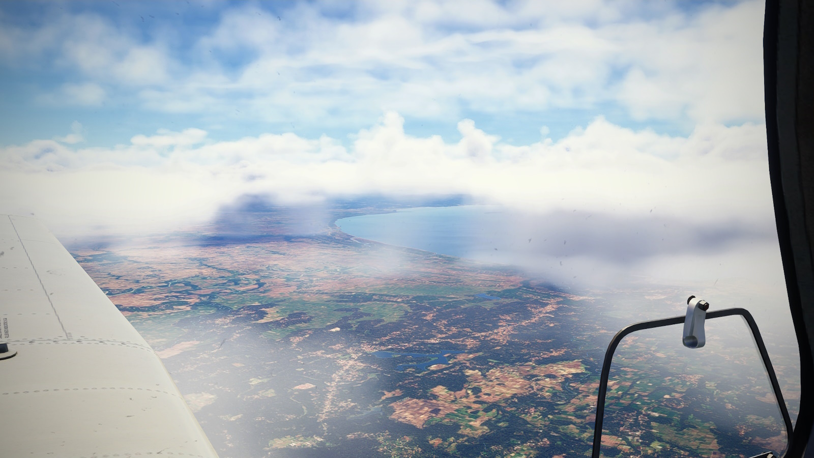
<center><i>The Sunda Straight, or rather Teluk Lada (Lada Bay), the rest being obscured by cloud.</i></center>
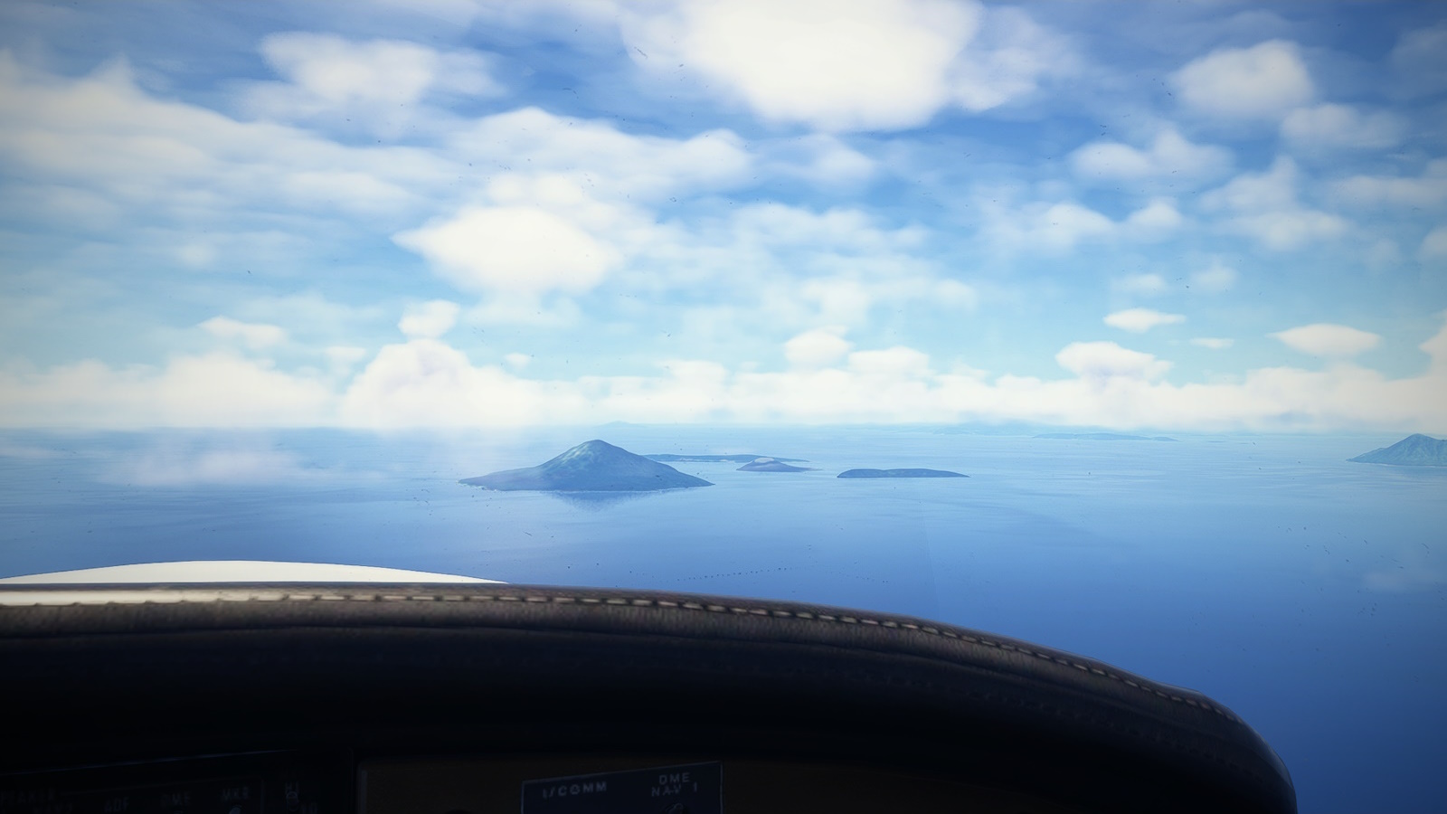
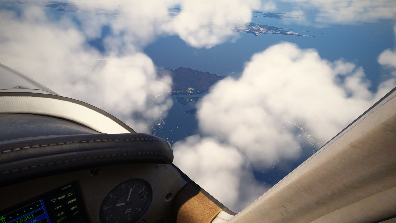
<center><i>Krakatoa!</i></center>
Now I'm sure just about everyone has heard of Krakatoa. It erupted on August 26 and 27 1883 in four explosions destroying two thirds of the island it stood on and creating 120ft tsunamis that killed an estimated 36,000 people. The ash cloud plunged the area into darkness for 3 days and caused spectacular orange sunsets around the world for the following year. The third explosion is the loudest sound in recorded history being heard in Perth, Western Australia and across the Indian Ocean in Mauritius. The pressure wave was recorded on barographs in London and New York as it circled the earth 7 times.
There was even a movie made about it in 1968 "Krakatoa - East of Java". From what I have read, the geography of the title is the least of the film's issues.
Half a century later, a lava dome called Anak Krakatoa (child of Krakatoa), emerged from the sea in the middle of the caldera, rising to about 1,000ft. Anak Krakatoa is active today, errupting in 2018 through to 2023.
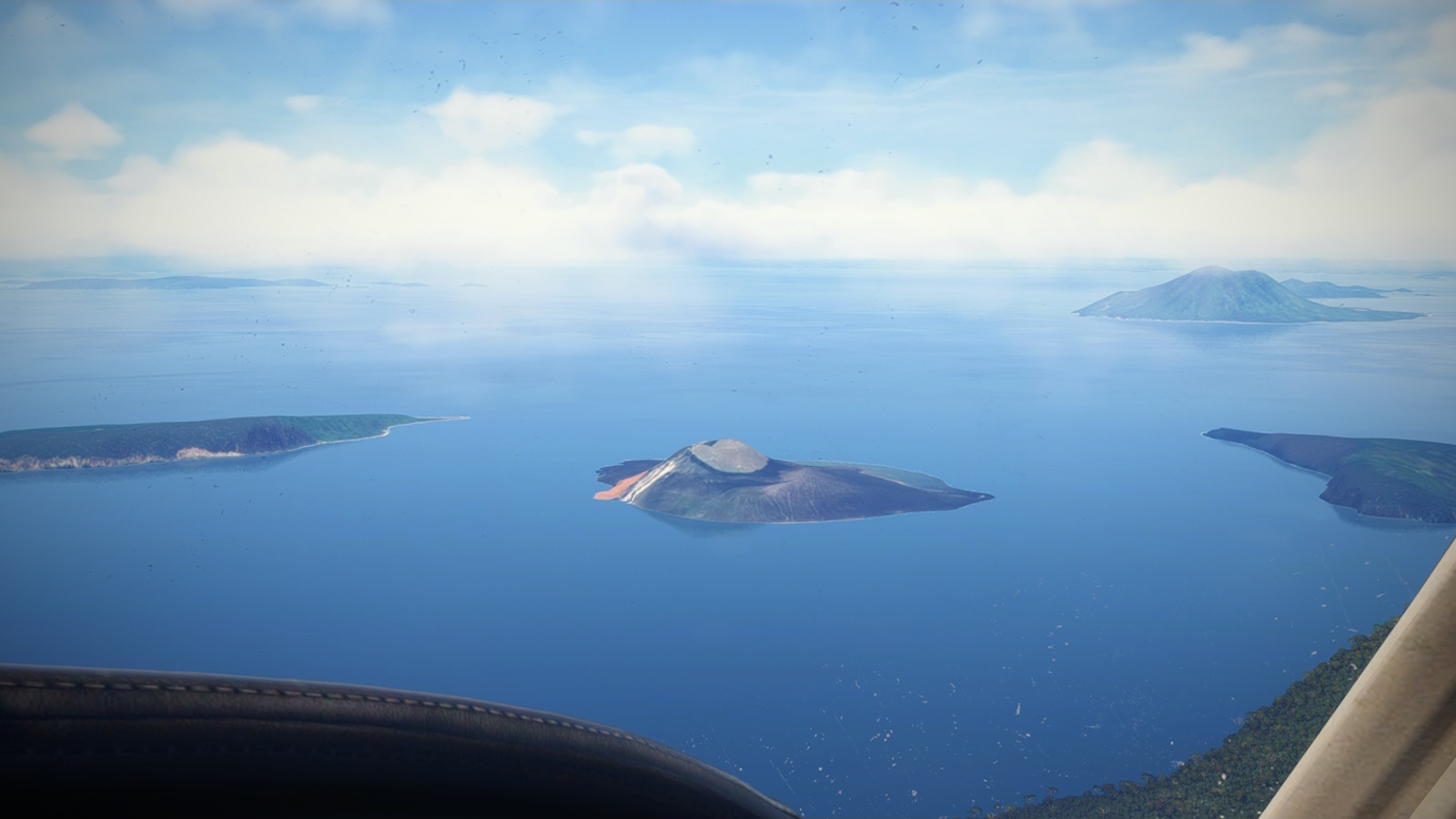
<center><i>The island at centre is Anak Krakatoa (Child of Krakatoa) a lava dome and active volcano.</i></center>
Flying over, the size of the caldera is impressive. IRL 8km across. All that remains are three islands, two low lying and the third with a 250m cliff face. Anak Krakatoa is a bare dome in the middle. This is archipelago now constitutes the Krakatoa Nature Reserve.
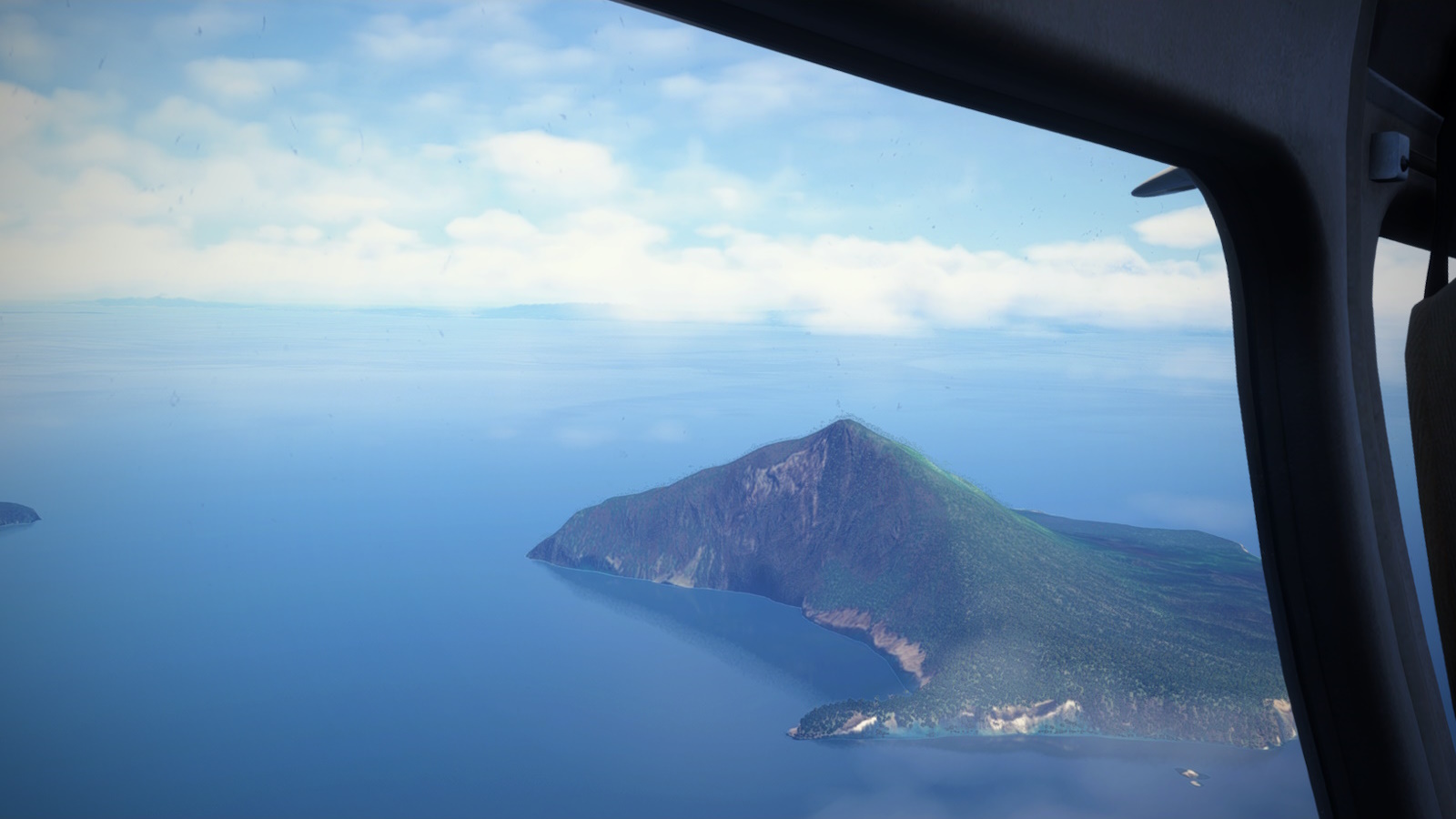
<center><i>The remaining third of Krakatoa Island. The 250m high cliff is all that remains of the volcanic cone.</i></center>
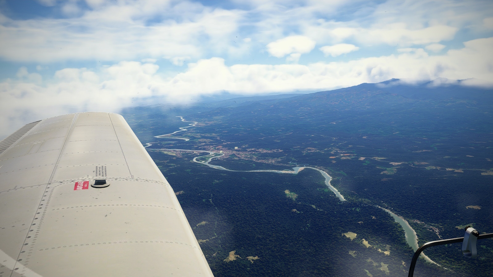
From Krakatoa I turned north-north-east toward Bandar Lampung and Sumatra. As a child of Tintin and the like, the name conjours thoughts of tigers, rhinoceros and head hunters. From the air it is conspicuously less developed than Bali or Java with big rivers and expansive forest. I followed the mountains along the southern shore to my destination for the day Silampari Airport (WIPB) just east of Lubuklinggau (say that three times fast).
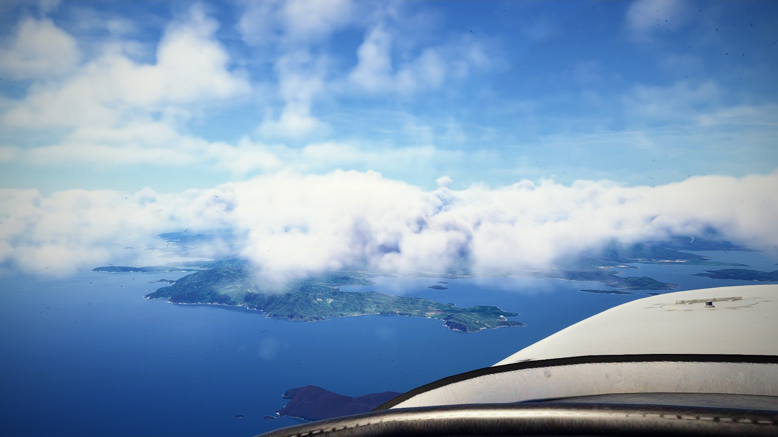
<center><i>My first sight of Sumatra home of tigers, headhunters and rendang. Bandar Lampung is behind the cloud at right. The coast at left is home to some of Indonesia's best surfing, apparently.</i></center>
<center><i>At AKIT, just northwest of Bandar Lampung, I turned west again for the final stretch to WIPB Silampari.</i></center>
<center><i>Passing the Marapura River and the town of the same name. Famous for Islamic study and gem mining according to <u>Wakipedia</u>. </i></center>
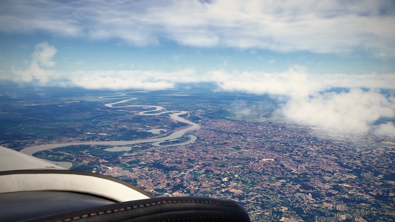
<center><i>The Sungai Musi (Musi River) and my last nave point at RAWAS.</i></center>
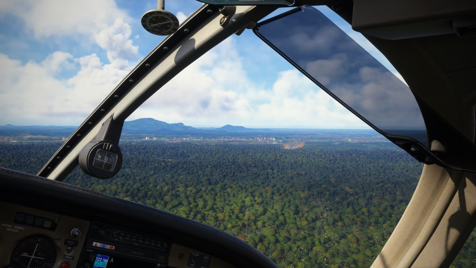
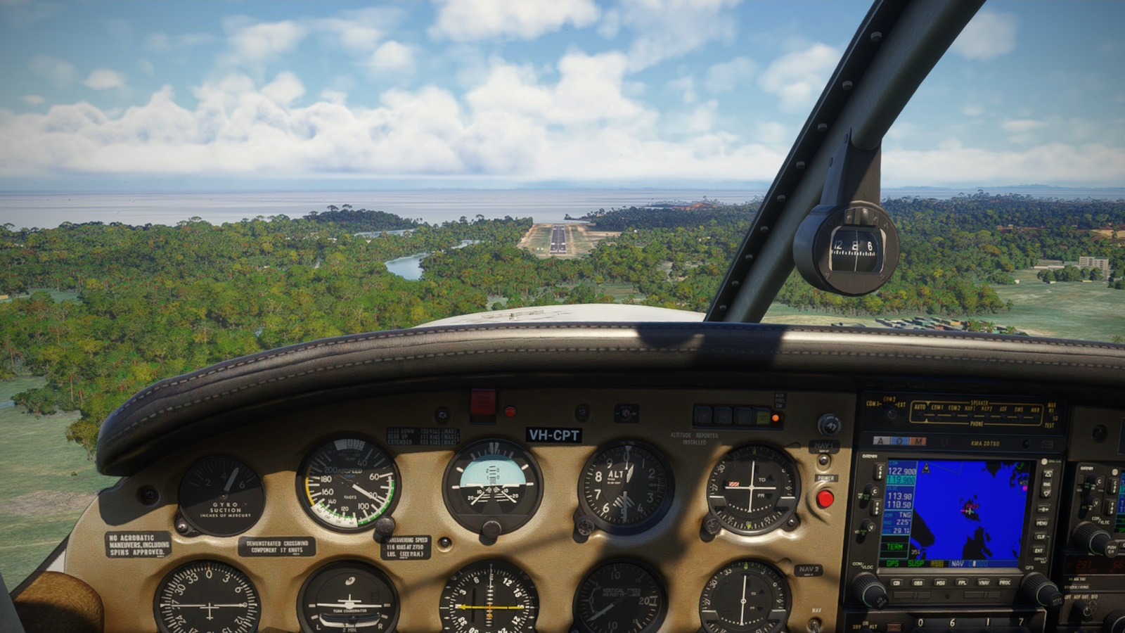
<center><i>Turning final for RWY 02 at WIPD Silampari</i></center>
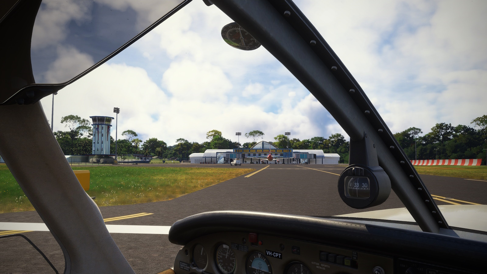
<center><i>Exiting the runway and looking for GA parking. Hint: its on the left in front of the tower.</i></center>
<center><i>Traffic at the terminal. The Batik Air A320 is courtesy of FSLTL.</i></center>
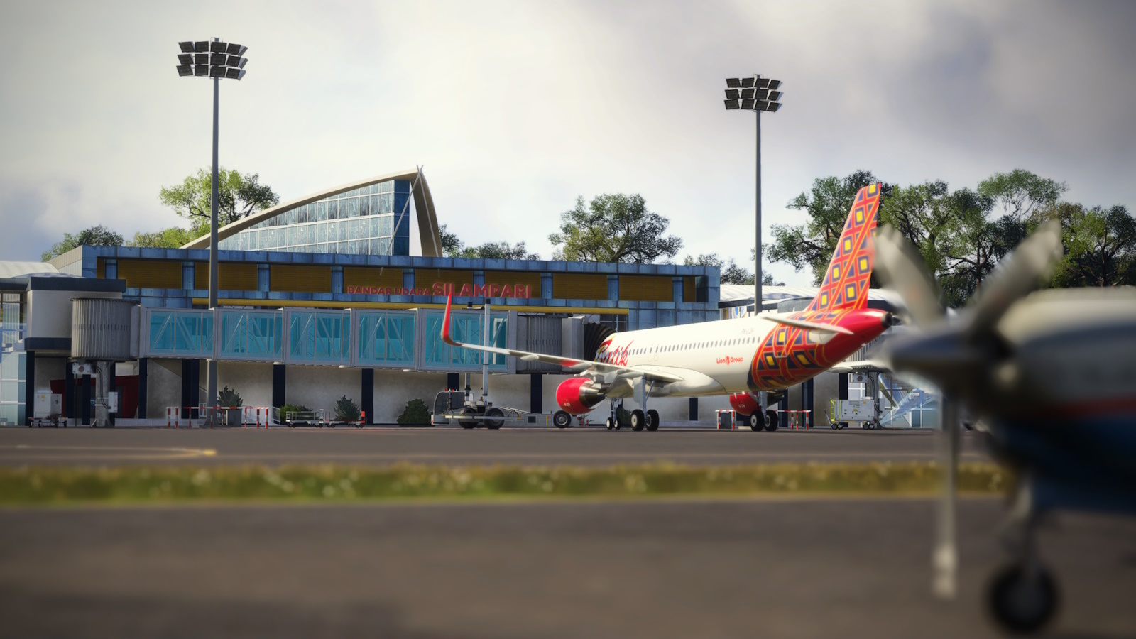
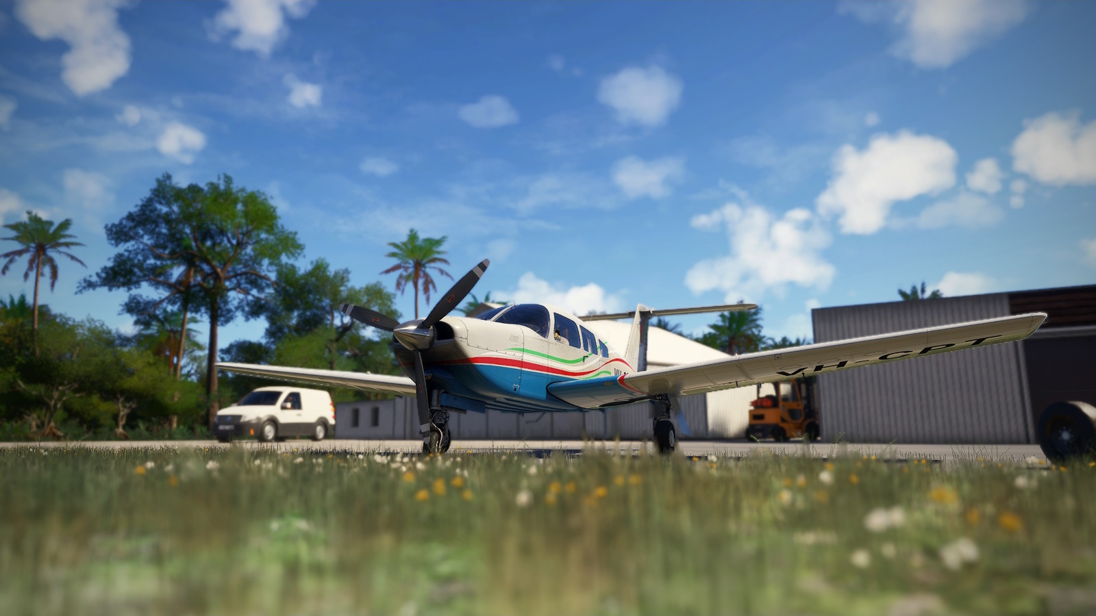
<center><i>Parked up for a well earned break.</i></center>
The Neo_Corp scenery is very nice. The package is small and lightweight, which tells in the texturing when you get up close but makes for excellent performance. The air side is very well done but the land side is crude. But we aren't here for the landside, its just gravy. Neo_Corp have a nice catalogue of Indonesian regional airports with more in the works, along with a new Wonderful Indonesia v2 package. As near as I can tell they are only available through the Discord server "Nusantara Crew" for a very reasonable US$8 each.
Update: <u>Neo_Corp has a proper website</u> now!
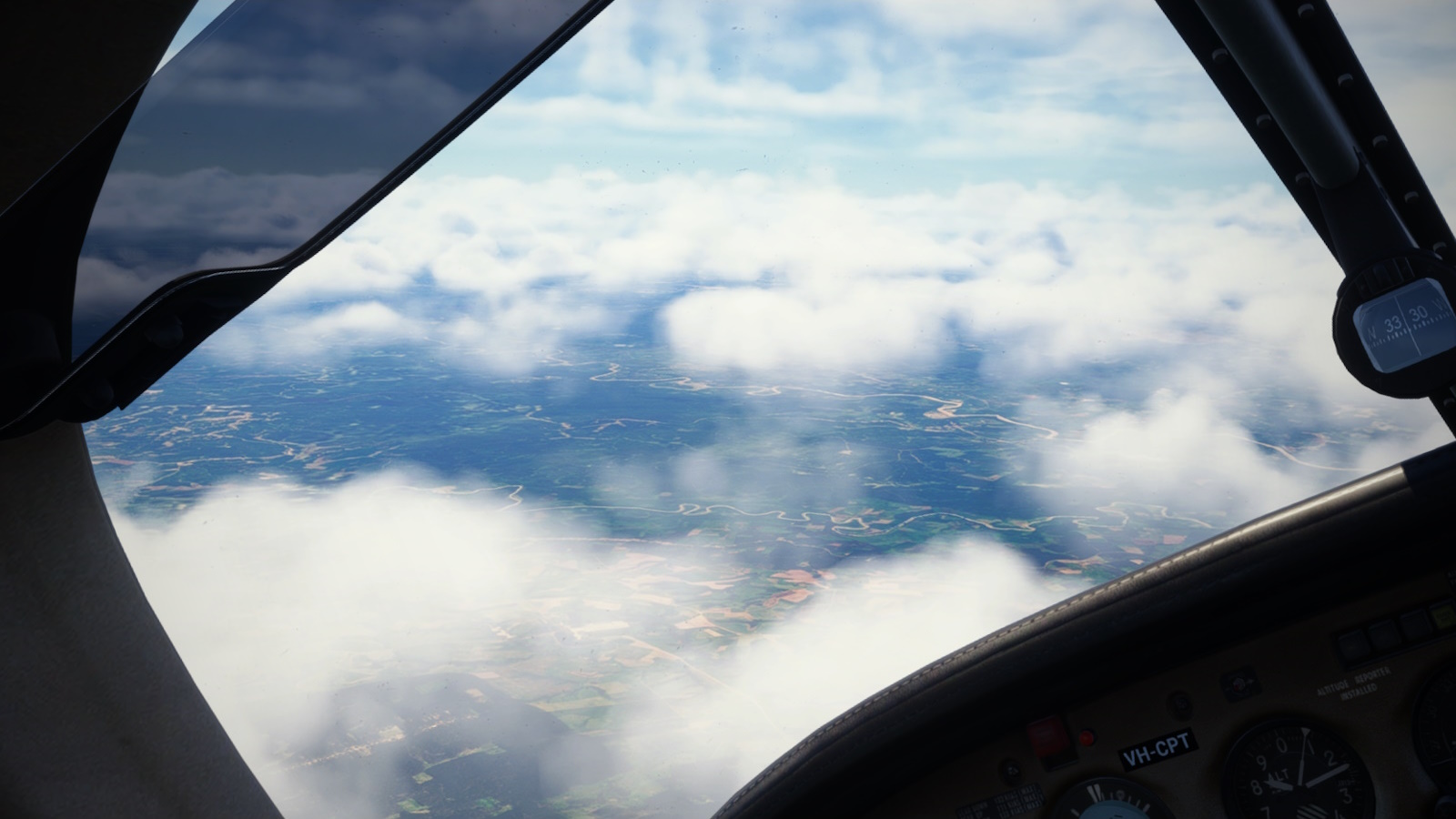
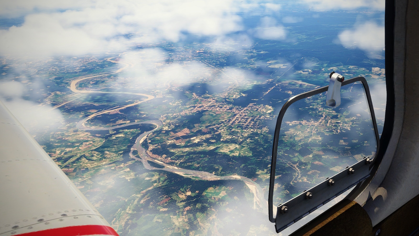
Departing Silampari (WIPB) in much nicer weather than the previous day, I more or less held the runway heading, passed Jambi to the South China Sea at the mouth of the Sunai Niur.
<center><i>Departing WIPD I more or less held runway heading, a little west of north, toward the South China Sea.</i></center>
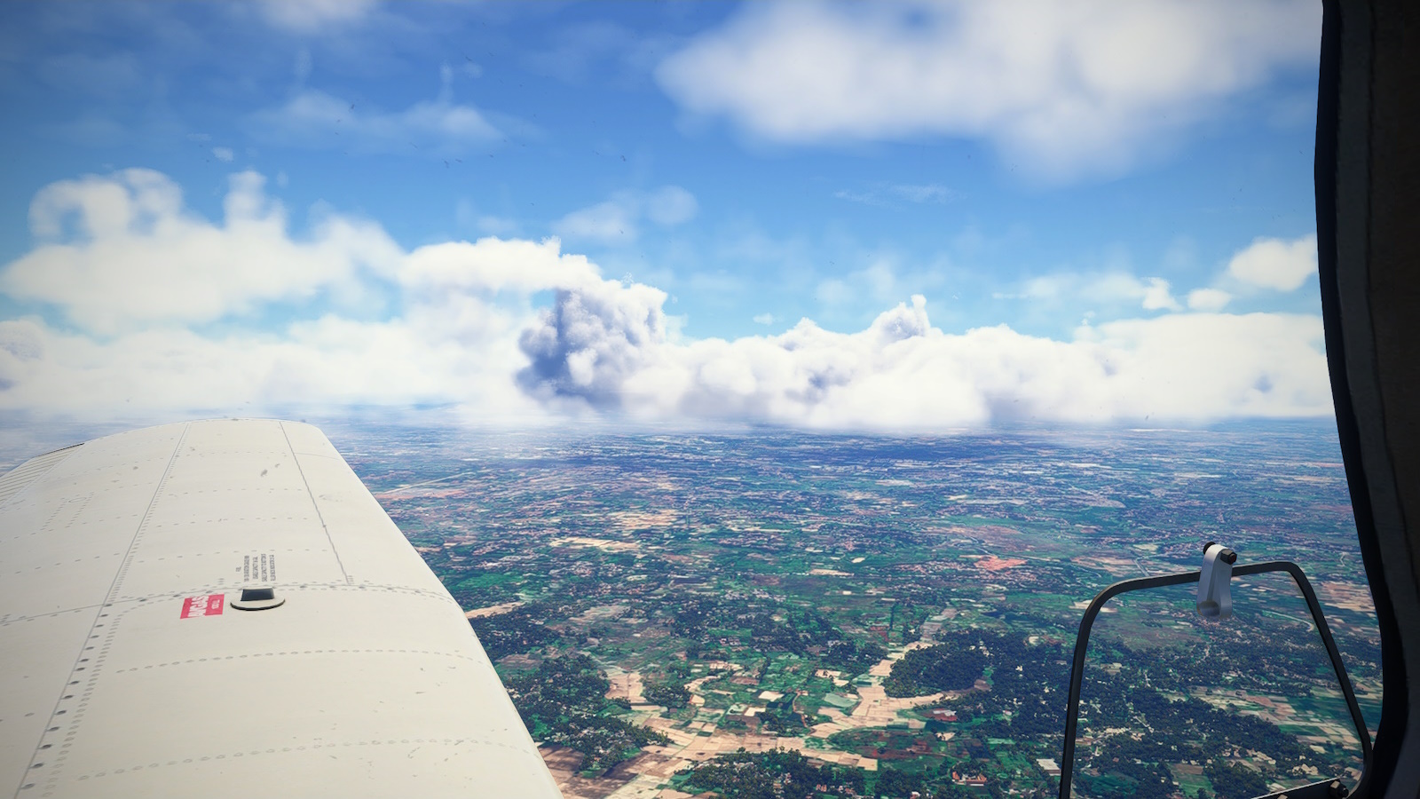
<center><i>Cruising at 8,500 ft between cloud layers, Jambi on the Batang Hari River was the only major settlement I passed.</i></center>
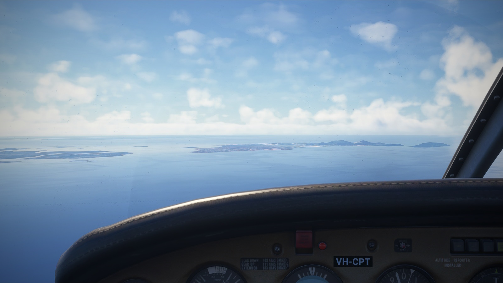
My next location to visit was the Jembatan Barelang, a chain of 6 bridges linking the major islands of the Riau archepeligo with Batam in the north. Weather at the south end of the island chain was promising but it got lower and thicker the further I went.
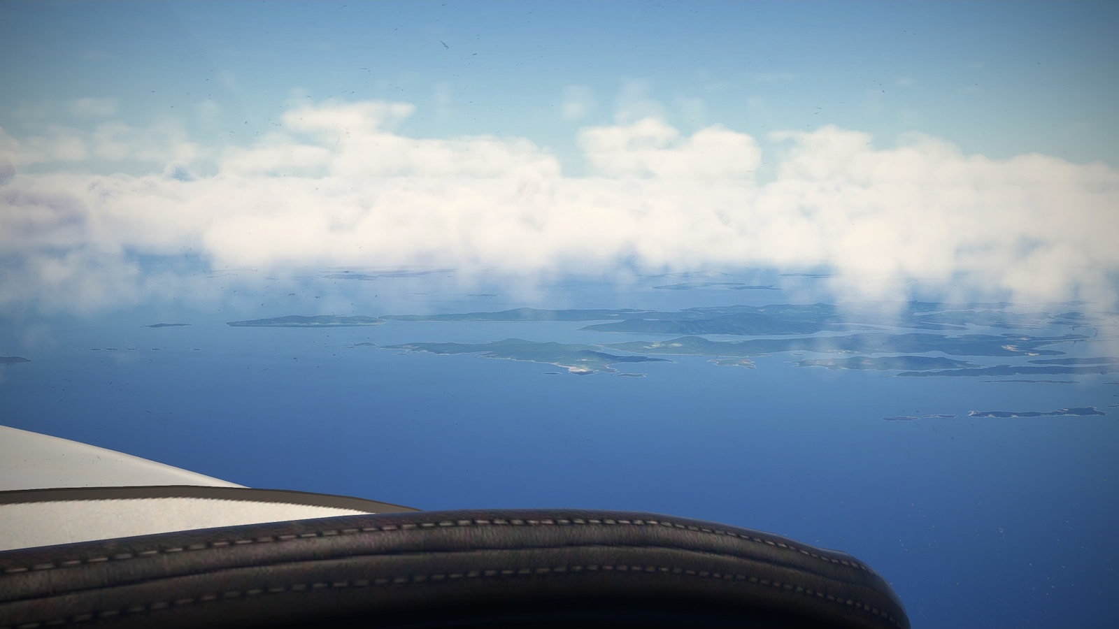
<center><i>The south end of the Riau Archipeligo.</i></center>
<center><i>There's a bridge down there somewhere. Cloud kept me too high to really see anything. I pulled the plug and turned north west toward Batam.</i></center>
Another sight seeing bust so I turned west-north-west across the Straits of Malacca. This, besides being synonymous with pirates, headhunters and the like in my childhood imagination, is one of the busiest shipping lanes in the world. It links the Indian Ocean and South China Sea and carries a quarter of the worlds trade goods. Its a shame I forgot to turn on sea traffic and saw nothing.
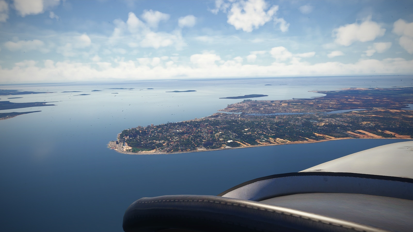
<center><i>Bulan Island centre, Batam to the right and Singapore in the distance under some nasty looking cumulonimbus.</i></center>
<center><i>Starting my descent to Great Kaimun Island. My desination, WIDT Raja Abdullah Airport is just to the left of the inlet at centre-right.</i></center>
<center><i>Tanjung Balai Karimun, the main town of Great Karimun Island.</i></center>
And so to my destination: <u>Raja Haji Abdullah Airport (WIDT)</u> on Great Karimun island.
I was expecting somewhere more touristy, but from the air, Tanjung Balai Karimun looks like a prosperous industrial city. Very much to my taste. The airport is north west of the city next to an inlet and river mouth. The landward end of the runway has a conveniently placed hill to help judge the turn to base. Safely down, I hopped a lift into town with the thought I should take the ferry across to Singapore.
<center><i>Descending into a right base. there is a handy hill at far left for judging the turn to base.</i></center>
<center><i>On final for RWY 09 with just a touch of right-to-left crosswind.</i></center>
<center><i>Parked up at WIDT. I hope the guy in the van will give me a lift into Tanjung Balai Karimun 'cause its an hour walk in the heat and humidity.</i></center>
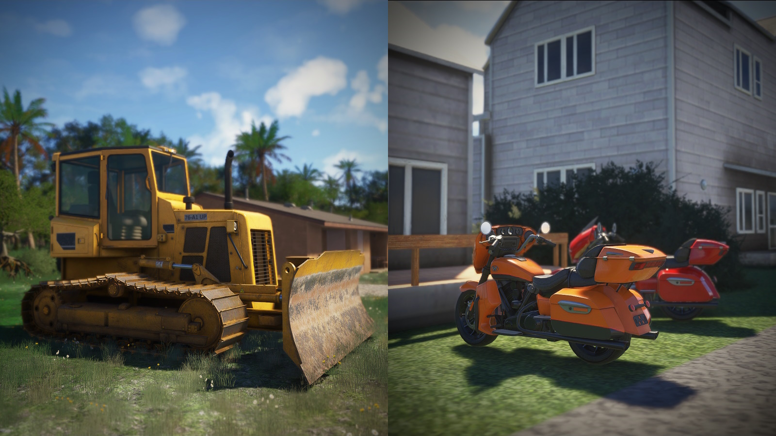
<center><i>I spotted these on the land side. Mr GunS cleary had some fun set dressing this scenery.</i></center>
Previous installment: GA Highway to Europe Project Leg 3
The start: GA Highway to Europe Project Prologue