The story so far:
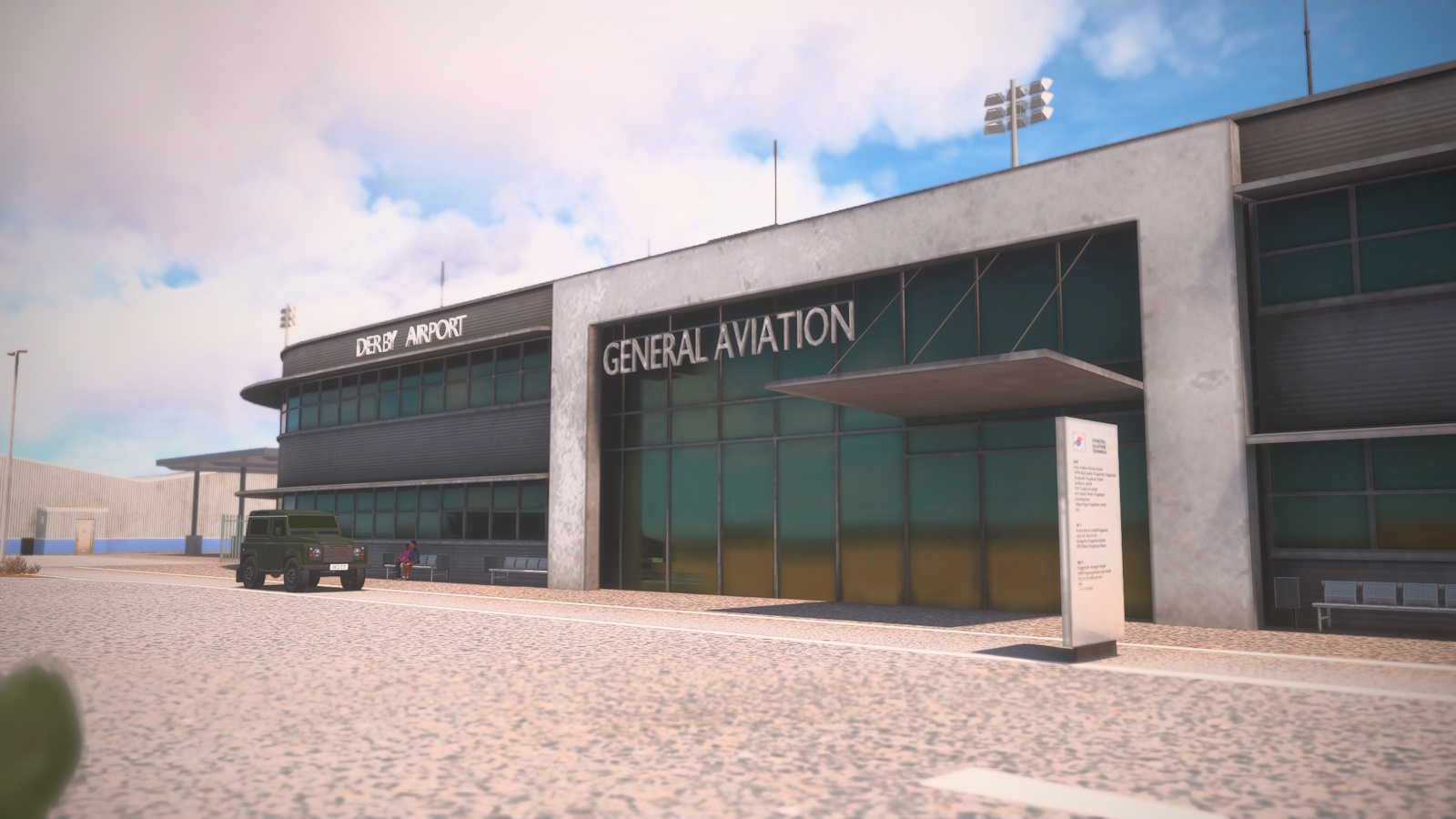
Early this year I found CoolGunS GA Highway Project - a route from Australia to Europe in GA friendly hops for which he is creating custom airports. I thought I'd give it a go in the JustFlight Turbo Arrow IV. To get to the start line, I flew from Parafield (YFFP) to Alice Springs (YBAS) and, after a delay due to weather (AKA Tropical Cyclone Hayley) across the Western Desert to Derby (YDBY).
This is the first real leg of the route: Derby (YDBY) on the north west coast of WA to David Constantijn Saudale (WATR) on Rote Island, Indonesia. I was thinking I would roll this into the next leg 'cause its mostly over water and boring, but I ended up with enough pics to justify its own post.
The plan was straightforward. North east to Cape Levegne on the Dampier Peninsula to avoid a restricted area north of Derby, then turn north to the gas field of the north west shelf project and a 200 nm final stretch to Rote Island.
<I><center>Back at Derby the next day for the first real leg: YDBY to WATR. 350nm accross the Timor Sea to Indonesia</center></i>
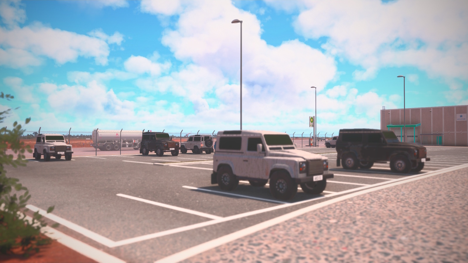
<I><center>While fueling up, I spotted these in the carpark. There's an old joke: if you want to see The Outback you need a Landrover but if you want to come back take a Toyota. Are these the ones that never made it back?</center></i>
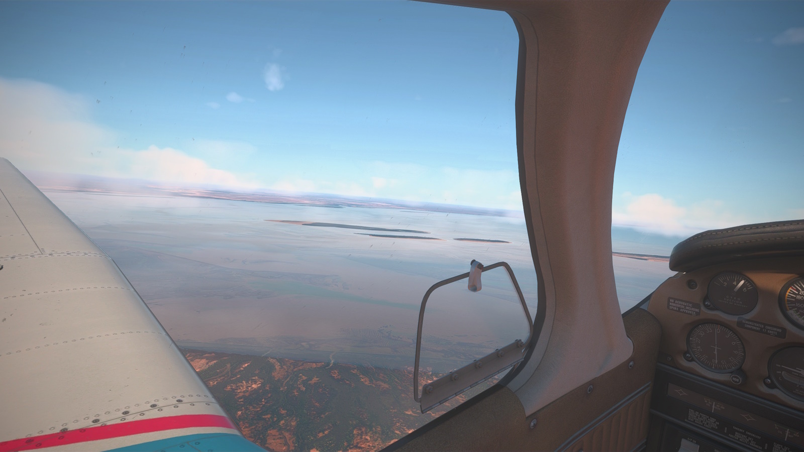
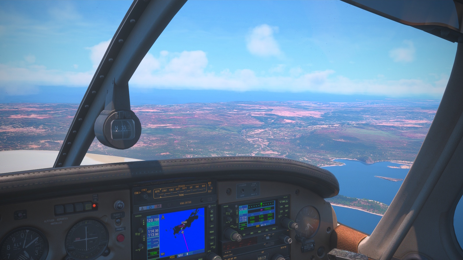
<I><center>Climbing out of Derby (YDBY). I will turn about 30˚ to the left shortly to pick up my GPS track out over King Sound to Cape Leverque at the end of the Dampier Peninsula. The map says there are pearl farms out there but I couldn't see anything from 10,000ft.</center></i>
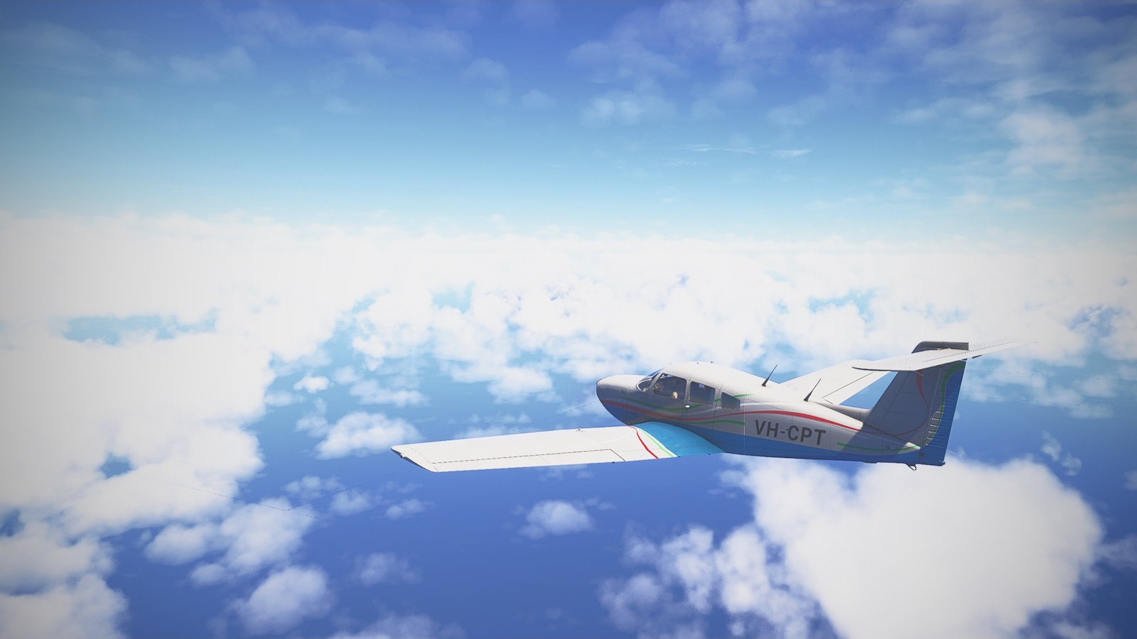
<I><center>Two hours of this. The novelty wears off fast. I passed by three gas platforms but, like the pearl farms, I couldn't see anything from 3km up. There was also the Browse Island lighthouse I failed to spot. Ho hum. </center></i>
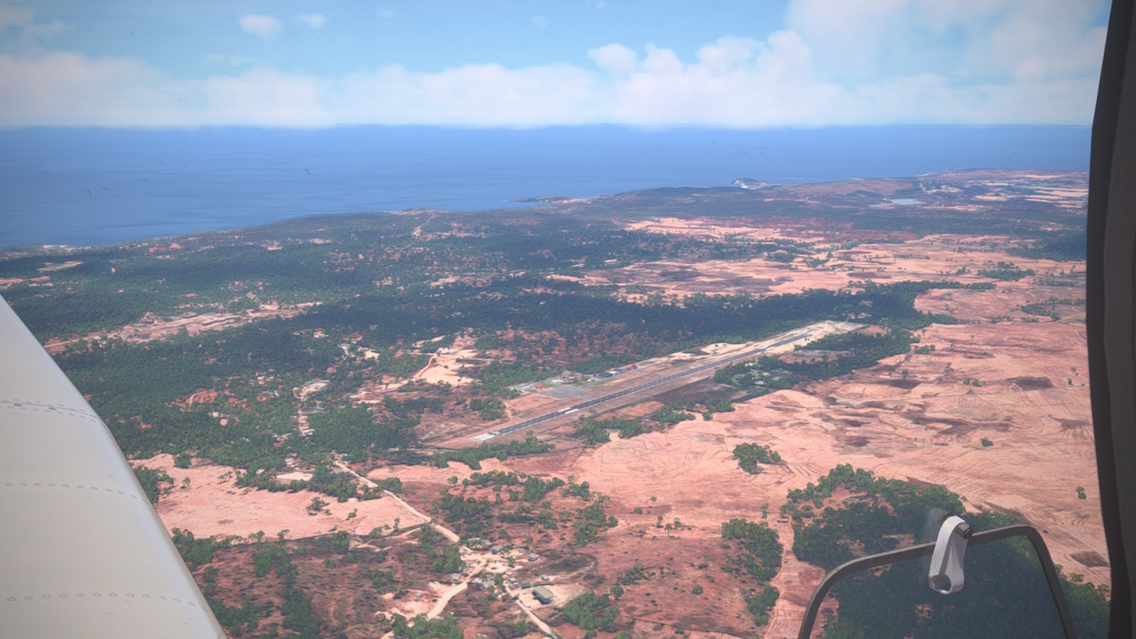
<I><center>About halfway through my descent I crossed the coast of Rote Island. My destination, David Constantijn Sauale Airport (WATR), is at centre.</center></i>
<I><center>Downwind. I made a right pattern to land on rwy 22</center></i>
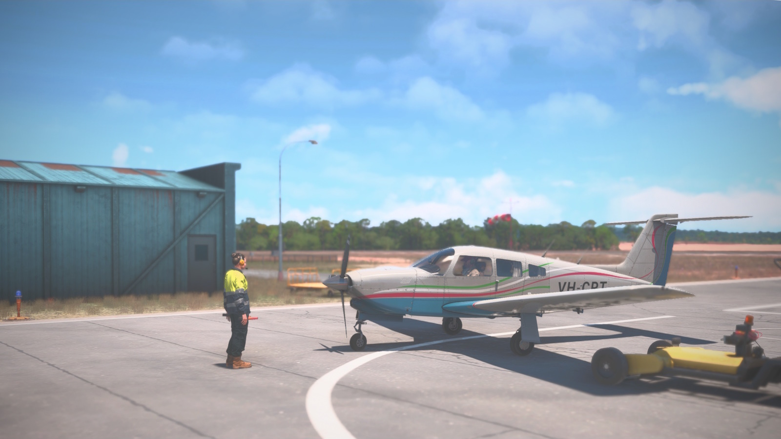
<I><center>Parked up at DC Saudale (WATR) my first leg complete.</center></i>
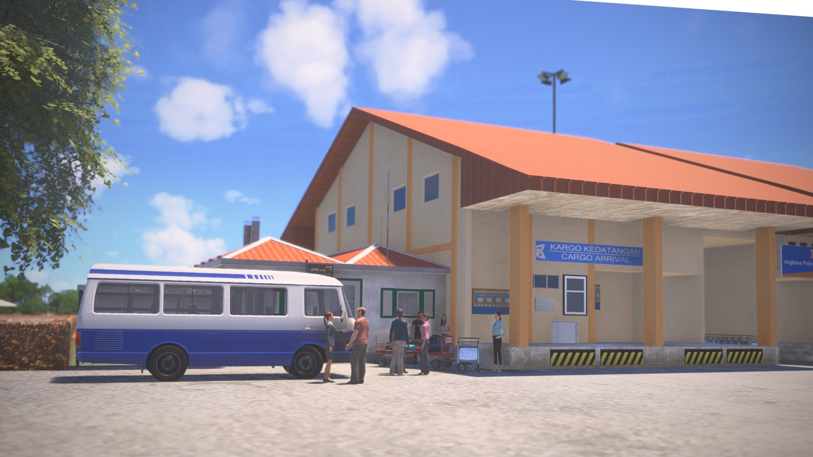
<I><center>I caught the airport bus into town.</center></i>
It went to plan, other than I couldn't spot any of the platfoms or the Browse Island Lighthouse. I shall have to return for another look.
Previous installment GA Highway to Europe Project Prologue
Next installment GA Highway to Europe Leg 2