
Beschreibung
Experience Norway - North! (Part 2)
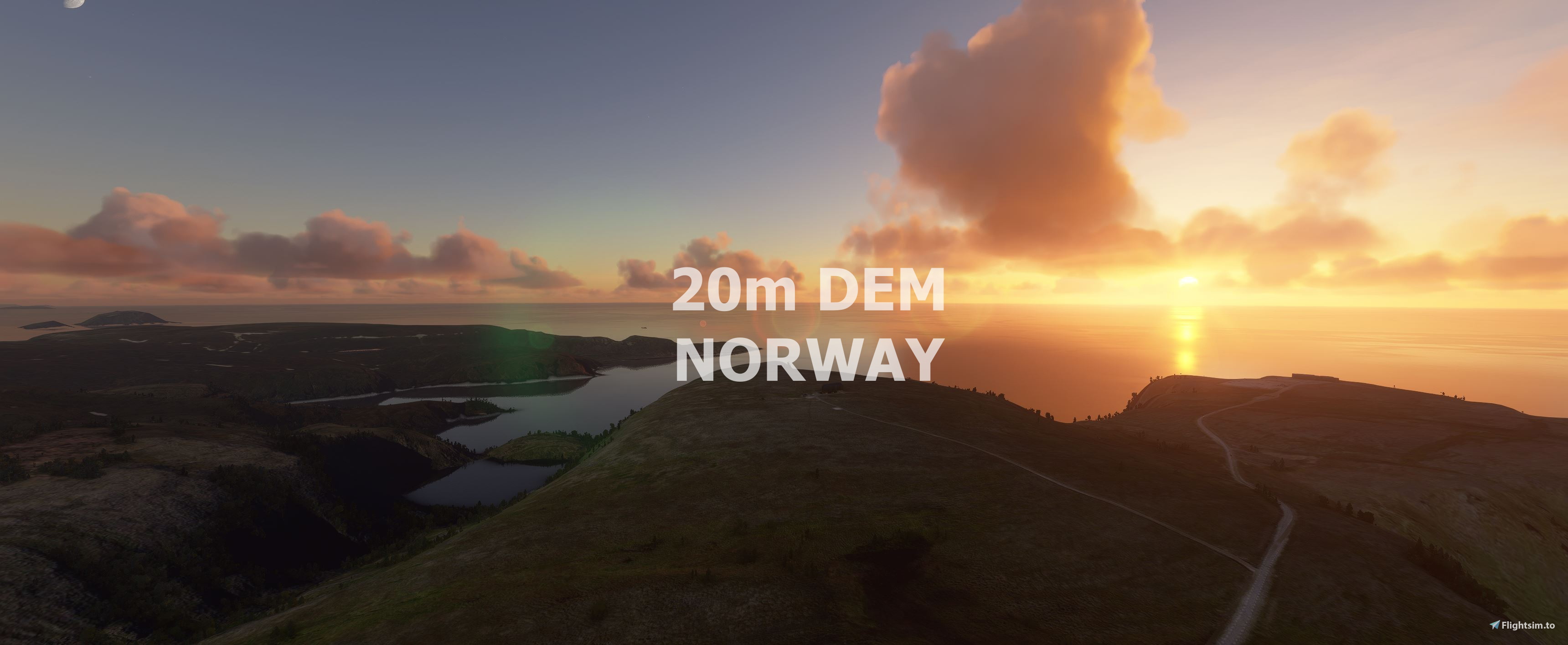
From Ryvingen to North Cape.
This mod contains customized height profiles for Norway. The mod contains high definition LIDAR DEM data with a mesh resolution of 20m. The height resolution is as good as 0.1m.
The mod does not only provide mountain shapes being very close to reality, but also flattens lakes & rivers and gets rid of any terrain artifacts.
Installation
Download both Files and export it to the community folder. At the end you only have one folder inside the community folder.
IMPORTANT
Disclaimer: The creator of this mod is not responsible for any problems, damage, incompatibilites to other mods or performance issues that might occur.
Please note, that this mod is a very high resolution mesh covering the South of Norway. The elevation data is applied through terraforming rectangles, thus loaded at a certain distance from the player. When travelling fast or at high alitude (wide range of view) there might be too many new rectangles loaded simultaneously and thus stutters might occur.
If you have any stutters you can try and reduce your ingame render settings or uninstall!
If you are mainly flying airliners in high altitude, there is probably no benefit for you in using this mod.
Credits
The elevation data used was a LIDAR 20m height profile compiled by Sonny (https://data.opendataportal.at/dataset/dtm-europe)
It was then transfered into MSFS using MSFS Toolkit by Nool Aerosystems (https://msfs.nool.ee/)
Thank you both and for anyone reading this: Please go ahead and support them!
Thanks Troglodytus for you help!
Enjoy your VFR flights above Norway!
NORWAY 20m DEM Part 2 - High Resolution Terrain Elevation Data from LIDAR Imaging
High Resolution Terrain Elevation Data from LIDAR imaging for Norway - North, covering Ryvingen to North Cape. This mod offers a mesh resolution of 20m and 0.1m height resolution for realistic mountain shapes, lakes, and rivers in Microsoft Flight Simulator. Please note potential performance issues when flying at high speeds or altitudes due to the detailed mesh coverage. Credits to Sonny and Nool Aerosystems for their contributions.


Unterstützer


Nutzerbewertungen
8 Bewertungen
Versionsgeschichte
Keine Versionsgeschichte verfügbar.
Ähnliche Addons
Swiss mountains tree fix (trees on mountains removed)
A comprehensive mod fixing tree placement on Swiss mountains, particularly removing inaccurately placed trees on mountain peaks. The update includes a shift to more realistic conifer trees in the Alps and an expansion to border areas of France, Italy, and Austria. From Alpstein Säntis to Stockhorn, numerous locations across Switzerland have been meticulously corrected for a more authentic flight experience.
von THEOLI4D
Shorter Trees / Tree Height Modification VERSION 4.0 for MFS2020 (shorter, realistic trees)
Experience realistic and shorter trees in Microsoft Flight Simulator with the Shorter Trees / Tree Height Modification VERSION 4.0 add-on. Compatible with the latest version of MSFS, this mod provides adjusted tree heights for a more authentic flying experience. Update includes enhanced tree coloration blending seamlessly with photogrammetry trees. Installation is simple - just copy the folder into your community folder and enjoy a new perspective from the skies.
von ARIF STUDIOS - Adnan Arif
AUSTRIA 10m DEM - High Resolution Terrain Elevation Data from LIDAR Imaging
Explore the stunning terrain of Austria with this mod featuring high-resolution LIDAR data, offering a mesh resolution of 10m for a more realistic flight experience. Flatten lakes, rivers, and eliminate any terrain artifacts as you soar over the Austrian landscape. Divided into regions for convenience and performance optimization, this mod enhances the mountain shapes to mirror reality and provides a smoother flying experience. Experience Austria like never before with enhanced elevation data and realistic terrains.
von Troglodytus
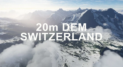
SWITZERLAND 20m DEM - High Resolution Terrain Elevation Data from LIDAR Imaging
Explore the beauty of Switzerland with this mod offering high resolution terrain elevation data using LIDAR imaging. The mesh resolution is 20m, providing exceptional detail with a height resolution of 0.1m. Update includes extreme LIDAR meshes for specific regions. Please note potential performance impacts and report any bugs for further improvements. Fly VFR over Switzerland with enhanced realism and accuracy.
von Troglodytus
Melden Sie sich an, um an der Diskussion teilzunehmen
AnmeldenKommentare(30)
almost 4 years ago
got serous lag every ten seconds with this mod. running 2080 rtx super settings to high and 100 on sliders... too bad edit- doubled checked it from Leknes and Sola multiple aircraft. not sure if it is a conflict issue with updates or other addons, as it worked fine before
almost 5 years ago
Hi, I did a quick comparison between World Update 5 and this 20m DEM mod. You can see the comparison here https://imgur.com/a/gmJmgdN . It seems WU5 has a much higher resolution with sharper edges and more detail, so I am sticking with WU5.
almost 5 years ago
After SU5 ----should we use the default MSFS mesh or is there going to be an upgrade here... what would you suggest ?
almost 5 years ago
I never compared both. May you try it and let us know whats better now. :)
about 5 years ago
Hello, I have a problem with the terrain with a payware scenery from orbx - ento torp airport.
Theres a significant incline parallel to the runway and the taxiway signs are floating.
This didn't happen with your package disabled.
about 5 years ago
Cant see a differense with or without the DEM pack.
Also downloaded The Matterhorn DEM pack, same thing with that one.
Is it beacause i am running the Steam verson of MSFS2020?
about 5 years ago
Can you tell the Latitude of the border between Norway south and Norway north mesh ?
about 5 years ago
this is the content of Part1 https://cdn.flightsim.to/images/14/uBS3UD6f.jpg?width=1400&auto_optimize=medium
everything else is Part2 :)
about 5 years ago
I have massiv stutter near ENST and ENRA (North Part) when I have both North and South active. When I deactivate the south part, no more stutter. When I know the exact border, I can activate the one I need.
about 5 years ago
I wonder if ASOBO is taking notice of this, they could perhaps do well to incorporate this into the sim perhaps ? I am most grateful for your hard work . it simply made Norway extremely more recognizable. Superb!!
about 5 years ago
Thanks for the Amazing work :)
about 5 years ago
Thank you so much my dear friend !!! I love Norway!!!
about 5 years ago
can you make Denmark aswell
about 5 years ago
Lol, Denmark is flat as pancake
about 5 years ago
That depends on where you see Denmark from.
the rest of the world is flat as a pancake too, if you look from space. but when you zoom in there are differences in Denmark too.
about 5 years ago
I quess that guys that knows how to do this, will go for a more dramatic outcome then Denmark.., but as I´m Danish I would just love it:)
about 5 years ago
:) maybe sometimes.
about 5 years ago
👍 I'll be looking forward to it.😀
about 5 years ago
Thanks a lot. I have been waiting for this too!