
Beschreibung
- Idaho’s highest official backcountry airport with an elevation of 8,262 feet. This airstrip is unsual in a way, that terrain lowers upon taking off.
- Sloped runway with recommended take-off and approach into one direction. There is enough room for alternate procedures as well, though. The slope is around 2,6%.
- Gravel&dirt runway’s dimension are 1,900 x 50 feet (579 x 15 meters). Its surface is uneven.
- A ditch runs parallel to runway, which should be noted during parking.
- Runway boundaries are marked with white logs, which are supplemented by cones due to possible bloom conditions. There are also midpoint logs, which can be used for evaluating performance in probable high density altitude. Take extra care of staying clear of the logs as they’re large. There are also tree stumps close to runway.
- On-going logging operation has left trees next to the runway.
- 2 helicopter starting locations, parked on wooden pad and started on runway.
- Water starting location on Yellowjacket Lake.
- Close by to the scenic mountains areas such as Sugar Loaf and Yellowjacket range.
- 85U Soldier Bar airstrip is 11 miles to the West as the swan flies. The default&handcrafted C53 Lower Loon Creek is 18 miles to South West.
- Custom models and aerial image for the valley.
- Deer and moose are known to wander around in the area. There may be more wildlife.
- Landmark POIs.
- Easter eggs.
- Readme.
- FS24’s Displacement Mapping went bonkers on the runway. Disable DM in case of troubles.
- Disable my library, if you want to get rid off the runway boundary cones. The helipad will disappear as well.
- Photogrammetry doesn’t seem to affect this spot.
- Airstrip is currently missing from Microsoft Flight Simulator 2024 and 2020.
- Greetings to creators who have built these kind of strips since FSX. It sparked my interest.
- Work on vegeration have been done on the Ultra setting. Default tree models & biomes used in FS24. 75% Accuseason Advanced trees and default biomes used in FS20.
- Supplied details regarding the area may lead to updates.
- check download location for latest recommended prerequisites and instructions
- (always remove old scenery packages from the Community-folder, if installed previously)
- move greyskies-airport-4d2-hoodoo-meadows into the Community-folder
- check that greyskies-modellib-gss-common-library-msfs2020/2024 is in the Community-folder as well
- MSFS Addons Linker / ModManFX are recommended in general for managing your mods
as listed in Dependencies-section on the bottom of the page
https://itd.idaho.gov/news/prepare-for-takeoff-hoodoo-meadows-to-become-backcountry-airport/
MY OTHER UPLOADShttps://flightsim.to/profile/GreySkies/uploads
LIVE-STREAMINGI do stream sometimes.
latest revision 17OCT25
Abhängigkeiten
Location
4D2 - Hoodoo Meadows airstrip, Idaho, USA
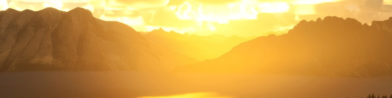
Hoodoo Meadows airstrip (4D2) is located in Idaho and is noted as the states highest official backcountry airport with an elevation of 8,262 feet. The airstrip features a sloped, uneven gravel and dirt runway measuring 1,900 x 50 feet, and includes distinct markings and natural obstacles. Additional facilities include helicopter starting locations and a water launch site at Yellowjacket Lake, alongside custom models and landmark points of interest in a scenic mountainous area.

Nutzerbewertungen
1 Bewertungen
Versionsgeschichte
Keine Versionsgeschichte verfügbar.
Ähnliche Addons
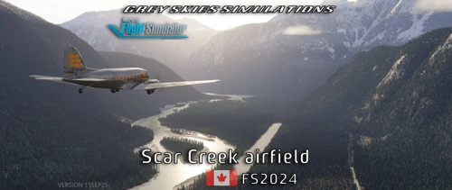
Scar Creek Airfield, British Columbia BC, Canada (default CBA7) + Plummer Hut
Discover a hidden gem in Microsoft Flight Simulator 2020/2024—an off-grid airstrip set deep in British Columbia's glacier territory. Featuring a 3,000 ft sand runway, a 46° STOL slope, helicopter and water start points, a mystery strip, and even moose sightings, this location offers rugged adventure. Explore handcrafted terrain near Homathko Glacier, with bush-flying challenges and stunning scenery for pilots who dare to land where few have.
von Grey Skies Simulations
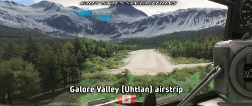
Galore Valley (Uhtlan) Airstrip, Galore Creek, British Columbia BC, Canada
The Galore Valley (Uhtlan) Airstrip add-on introduces a handcrafted, challenging airstrip located in Galore Creek, British Columbia. Featuring a sloped gravel runway and limited go-around options, this add-on includes three helicopter starting locations and custom aerial imagery. The airstrip serves as an aviation support hub for local mining operations and is designed to complement the nearby Bob Quinn Lake aerodome (CBW4).
von Grey Skies Simulations
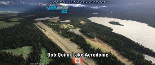
Bob Quinn Lake Aerodome (CBW4), British Columbia BC, Canada
Bob Quinn Lake Aerodome (CBW4) is a detailed scenery add-on for Microsoft Flight Simulator, located in British Columbia, Canada, within the Kitimat-Stikine district. It features a gravel runway measuring 4,251 feet, including challenges such as ditches and mounds. The package coordinates with additional airstrips in the Galore Creek area and includes custom aerial images, flight plans, and helicopter starting locations. Designed primarily for use in FS20 and updated for MSFS 2024, it adds realism to aviation operations in the region.
von Grey Skies Simulations
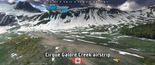
Cirque Airstrip, Galore Creek, British Columbia BC, Canada
Discover the Cirque Airstrip located in Galore Creek, British Columbia, part of the GSS Tongass Fjords project. This handcrafted airstrip features a challenging sloped runway and is surrounded by rugged terrain, making it ideal for adventurous exploration. The package includes custom aerial imagery and models, and is designed for use with the nearby Bob Quinn Lake aerodome. Elevation at the airstrip is 2,962 feet, with a gravel runway measuring 1,732 x 121 feet.
von Grey Skies Simulations
Melden Sie sich an, um an der Diskussion teilzunehmen
AnmeldenKommentare4
Results will matter in development time, quantity and quality.
Results will matter in development time, quantity and quality.