
Beschreibung
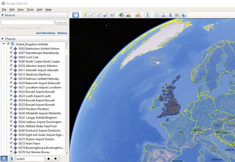
KML files for all 37,000 MSFS airports split into regions for a quick way to view an airfield for planning trips etc..
Derived from the Little Navmap database file little_navmap_msfs.sqlite
Drag and Drop a .kml file into google earth app and when double clicked on an airport icon on the map or name in the sidebar will take you to an aerial view of the airport aligned with it's primary runway.
V1.1
Duplicate text in names removed
V1.2
More unnecessary text removed
Now a single kml file organised into folders
All airports initially hidden
Additional download to cover new airports added by recent sim updates
Additional download to cover new airports added by sim updates 8-10
Google Earth KML files for all MSFS airports
Access KML files for all 37,000 MSFS airports conveniently split by region for easy trip planning. Simply drag and drop the files into Google Earth for a detailed view aligned with the airports runway. Stay updated with additional downloads for new airports introduced in recent simulator updates.


Nutzerbewertungen
4 Bewertungen
Versionsgeschichte
Sim updates have added more than 1100 airports. There is now an additional download to cover these
Ähnliche Addons
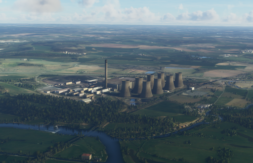
UK Cooling Towers/Chimneys that stay visible at distance
Enhance the realism of your Microsoft Flight Simulator experience with this add-on featuring visible cooling towers and chimney stacks in the UK, including popular sites like Drax and Ratcliffe. Keep these landmarks in view even at a distance with V1.3 update, which adds more chimneys for a comprehensive virtual flight experience. Note: Draw distance may be affected post-Sim Update 3, offering an alternate version to avoid conflicts with ORBX GB Central.
von metel89
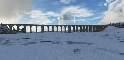
Ribblehead Viaduct
Add the iconic Ribblehead Viaduct to your Microsoft Flight Simulator scenery, complete with accurate details and surroundings. Ensure a seamless experience by removing misplaced trees in the area. Simply drag and drop the folder into your Community folder to install this V1.1 update.
von metel89

Welwyn/Digswell Viaduct
Experience the iconic Welwyn/Digswell Viaduct in Microsoft Flight Simulator! This detailed add-on showcases the railway viaduct spanning the River Mimram along the East Coast Main Line, situated between Welwyn Garden City and Digswell. A true local landmark just south of Welwyn North railway station.
von metel89
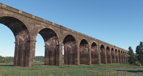
Harringworth Viaduct
Discover the iconic Harringworth Viaduct, the longest masonry viaduct in the UK. This add-on includes tree removal, added points of interest, and simple installation instructions.
von metel89
Melden Sie sich an, um an der Diskussion teilzunehmen
AnmeldenKommentare(28)
almost 3 years ago
almost 3 years ago
almost 4 years ago
Hey, i might be a bit late at the party...
but could you update to the actual amount of airports?
Update have added a couple afaik, so having an up to date database would be great.
Any chances?
almost 4 years ago
Will try to have a look soon
almost 4 years ago
Thanks a lot!
almost 4 years ago
A new additional download is now available (2432 new airfields added)
over 4 years ago
Hi, this is just what I have been looking for, but I think I may have done something wrong (or just plain don't know how to use it correctly). I have loaded it up as a new project and I see all the folders. If I expand the Caribbean folder, I see the names of the various islands. If I double-click an island that happens to have just a single airport (such as Anguilla) it zooms in to that airport. If I click on the name of an island that has multiple airports (such as Puerto Rico), it just zooms in on that island as a whole and not to a specific airport. If I click on the expand link next to the island name, nothing happens. What might I be doing wrong? Thanks in advance for any help!
over 4 years ago
You should get a list of airports when you expand the folder as shown below on Google Earth Pro 7.3.4.8248 (64-bit) Win10
Are you not seeing anything ?
over 4 years ago
My bad... I was using the browser version of Google Earth. I downloaded Pro and everything is working fine now. Thanks much for the response!!
almost 5 years ago
Thank you for this, exactly what I was looking for.
almost 5 years ago
Hi, thanks a lot for your work. Would be great if you could update with the current version, since a lot of missing airports have been added.
almost 5 years ago
There is an additional download now that covers these now..
over 5 years ago
over 5 years ago
https://www.avsim.com/forums/topic/548994-new-maps-for-lnm/
over 5 years ago
examples
Rhode Island USA - KHTO East Hampton East Hampton
Australia - YCTW Kalgoorlie Airport Kalgoorlie
South Africa - FAUD Sunset Beach Airport Sunset Beach
over 5 years ago
over 5 years ago
Check Angola, Australia, Maldives just a name a few.
ie Maldives - VRMH Hanimaadhoo Hanimaadhoo Island
over 5 years ago
They look fine to me..
over 5 years ago
If you look down the list, anything after the word 'airport' usually indicates that it is a locality descriptor.