
Beschreibung
Installation and file info - there are 2 zip files to download - "Main File" is the scenery itself and "EPNT Nowy Targ Airport AERIAL" is the aerial photos of the airport and region. After unzipping place both folders in your community folder.
Seperating the scenery and aerial means that in case of an update there will be much less data to download which makes it convenient for everyone. The aerial file is not required to run the scenery but I recommend it highly as the default aerials in MSFS of that region are very poor quality.
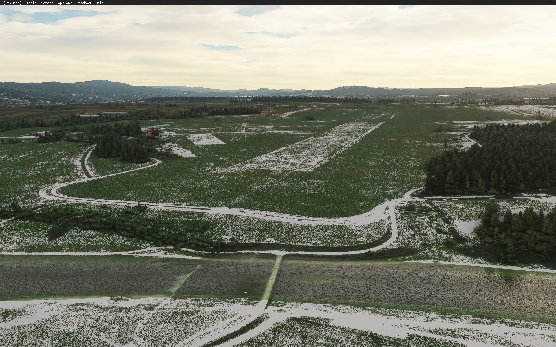
This is a scenery pack for a small airfield in the south of Poland in the city of Nowy Targ. The airport ICAO is EPNT. This it the highest (elevation wise) airfield in Poland. It has a grass runway 12/30. The airport is in close proximity of the Tatra Mountains.
The scenery consists of a mix of assets - the most important buildings were built from scratch in Blender, some minor ones were added using default MSFS assets. The surroundings of the airport were also touched up. The custom buildings inlcude night lighting and PBR textures. Custom aerial imagery is included.
Custom created models include:
- Main hangar
- Main airport buidling
- Secondary airport building
- Fencing
- Static gliders
This is still a work in progress. Some models might be rough around the edges,
Happy flying!
Location
EPNT Nowy Targ Airport
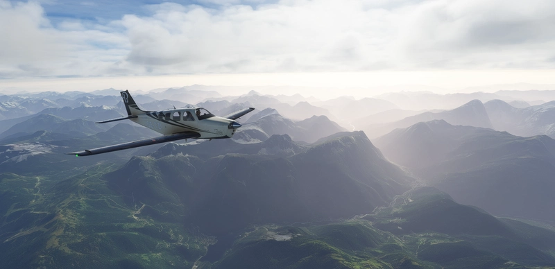
Explore the EPNT Nowy Targ Airport add-on, a scenery pack for a small airfield in the south of Poland. With the highest elevation in the country and a grass runway, this airport is nestled near the Tatra Mountains. Featuring custom buildings, night lighting, and PBR textures, this pack enhances the default MSFS experience. Additionally, the separate aerial photos file provides high-quality images of the region for a more immersive flight simulation experience.

Unterstützer

Nutzerbewertungen
9 Bewertungen
Versionsgeschichte
SU7 compatibility New DEM for the airfield and surrounding areas New Aerial imagery Separate files for scenery and aerial for convenience Minor fixes WIP - custom hangars built recently are in progress ;) This scenery is using asobo default ones for the time being.
Melden Sie sich an, um an der Diskussion teilzunehmen
AnmeldenKommentare(20)