
Beschreibung
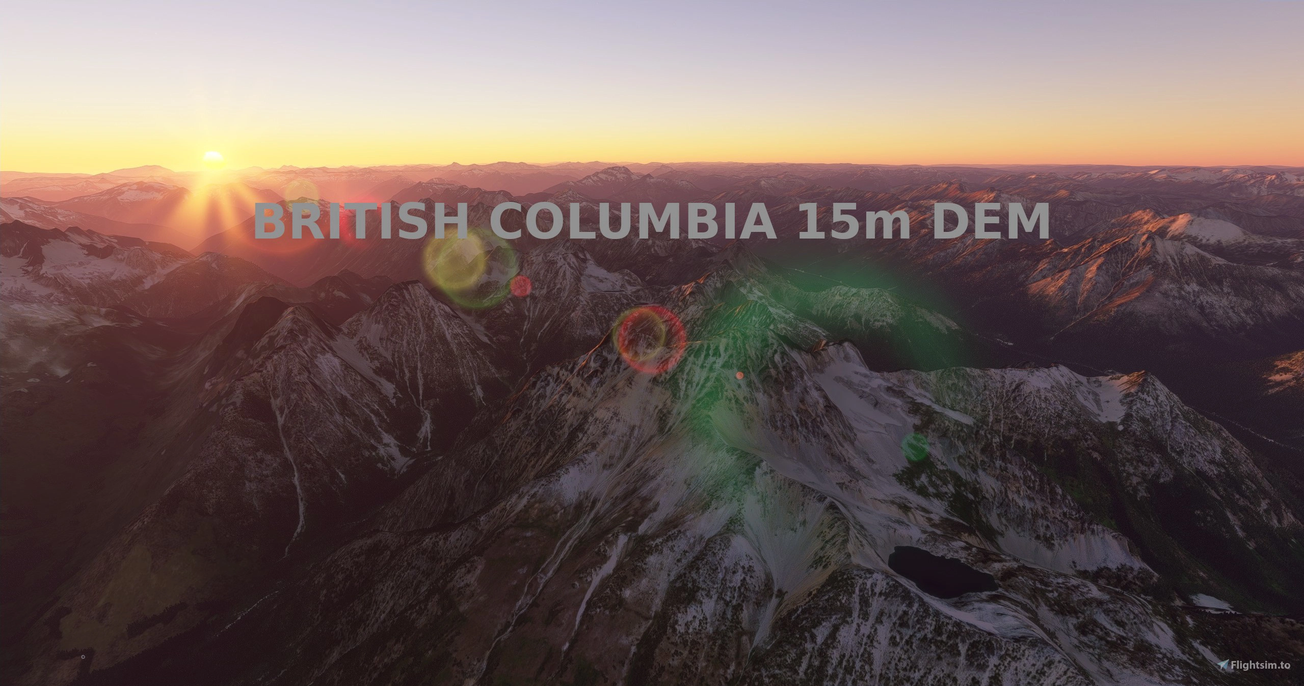
Experience British Columbia!
This mod contains customized height profiles for the entirety of British Columbia, Canada. The mod contains high definition LIDAR DEM data with a mesh resolution of 15m. The height resolution is as good as 0.1m.
The mod does not only provide mountain shapes being very close to reality, but also flattens lakes & rivers and gets rid of any terrain artifacts. It also includes over 150 airports excluded from height modification.
INSTALLATION
PLEASE NOTE: This mod has 2 files. Download both files to get complete coverage.
Just unzip the downloaded files and place the unzipped files into your community folder.
IMPORTANT: There is a second part to this mod, available here. After downloading both mods, you should have 4 files!
There is a separate mod for Vancouver Island, available here.
IMPORTANT
Disclaimer: The creator of this mod is not responsible for any problems, damage, incompatibilites to other mods or performance issues that might occur.
Please note, that this mod is a high resolution mesh covering British Columbia. The elevation data is applied through terraforming rectangles, thus loaded at a certain distance from the player. When travelling fast or at high altitude (wide range of view) there might be too many new rectangles loaded simultaneously and thus stutters might occur. To my knowledge, this is the largest area available using the heightmap method for elevation. Therefore, it could be very buggy or cause bad performance. In my testing, I saw a minor performance impact, but your results may vary. A common issue is stutters when new rectangles are loaded, so that may be more common with this mod, since there are so many rectangles.
If you have any stutters you can try and reduce your ingame render settings or uninstall!
If you are mainly flying airliners in high altitude, there is probably no benefit for you in using this mod.
Scenery Issues
Please report any bugs with sceneries or airports and I will see what I can do!
Credits
The elevation data used was a LIDAR 15m height profile of British Columbia from the government of Canada (https://maps.canada.ca/czs/index-en.html). Contains information licensed under the Open Government Licence – Canada.
It was then transfered into MSFS using MSFS Toolkit by Nool Aerosystems (https://msfs.nool.ee/)
Thank you both and for anyone reading this: Please go ahead and support them!
Thank you Troglodytus for your help!
Enjoy your VFR flights above British Columbia!
Location
British Columbia, 15m DEM - High Resolution Terrain Elevation Data from LIDAR Imaging Part 1
Explore British Columbia like never before with this mod featuring high-resolution LIDAR DEM data offering detailed mountain shapes, lakes, and rivers. Enhance your simulator experience with 15m mesh resolution and over 150 airports unaffected by height modifications. Take your virtual flights to new heights with this comprehensive terrain elevation data for MSFS.

Nutzerbewertungen
9 Bewertungen
Versionsgeschichte
reduced the size of the vancouver exclusion zone to reduce chances of conflicts. Only the part 1 file needs to be redownloaded.
In Sammlungen enthalten(1)

Ähnliche Addons
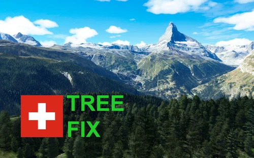
Swiss mountains tree fix (trees on mountains removed)
A comprehensive mod fixing tree placement on Swiss mountains, particularly removing inaccurately placed trees on mountain peaks. The update includes a shift to more realistic conifer trees in the Alps and an expansion to border areas of France, Italy, and Austria. From Alpstein Säntis to Stockhorn, numerous locations across Switzerland have been meticulously corrected for a more authentic flight experience.
von THEOLI4D
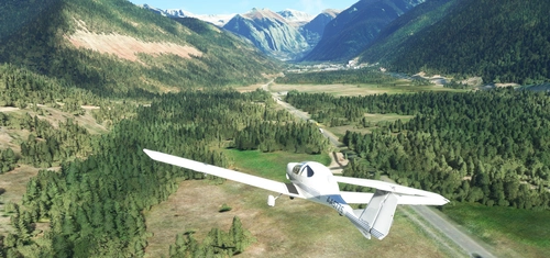
Shorter Trees / Tree Height Modification VERSION 4.0 for MFS2020 (shorter, realistic trees)
Experience realistic and shorter trees in Microsoft Flight Simulator with the Shorter Trees / Tree Height Modification VERSION 4.0 add-on. Compatible with the latest version of MSFS, this mod provides adjusted tree heights for a more authentic flying experience. Update includes enhanced tree coloration blending seamlessly with photogrammetry trees. Installation is simple - just copy the folder into your community folder and enjoy a new perspective from the skies.
von ARIF STUDIOS - Adnan Arif
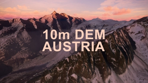
AUSTRIA 10m DEM - High Resolution Terrain Elevation Data from LIDAR Imaging
Explore the stunning terrain of Austria with this mod featuring high-resolution LIDAR data, offering a mesh resolution of 10m for a more realistic flight experience. Flatten lakes, rivers, and eliminate any terrain artifacts as you soar over the Austrian landscape. Divided into regions for convenience and performance optimization, this mod enhances the mountain shapes to mirror reality and provides a smoother flying experience. Experience Austria like never before with enhanced elevation data and realistic terrains.
von Troglodytus
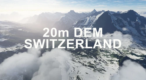
SWITZERLAND 20m DEM - High Resolution Terrain Elevation Data from LIDAR Imaging
Explore the beauty of Switzerland with this mod offering high resolution terrain elevation data using LIDAR imaging. The mesh resolution is 20m, providing exceptional detail with a height resolution of 0.1m. Update includes extreme LIDAR meshes for specific regions. Please note potential performance impacts and report any bugs for further improvements. Fly VFR over Switzerland with enhanced realism and accuracy.
von Troglodytus
Melden Sie sich an, um an der Diskussion teilzunehmen
AnmeldenKommentare(59)
about 4 years ago
Hi,
Would like to confirm the GBOAC comment about this addon being the source of stuttering. While flying a flight from Skagway (PAGY) to Juneau (PAJN) in Alaska I experienced quite a bit of stuttering so I began isolating addons to find the source of it and this addon was it. I had previously removed all DEM addons but had missed this one until flying in the area the addon covered.
As an observation others should know it may not be just an issue with this developer because using any DEM addon has produced similar headaches in MSFS from my own experience. I had previously loaded DEM addons for the ALPs and got the same results, stutters to the max. Put simply, MSFS doesn't play well with DEM addons so, it might be advisable if you experience extreme stuttering to deactivate (or remove) any DEM addon that might be covering the area your flying in and see if the issue disappears. When I'm not using DEM addons my sim runs smooth as silk so I tend to avoid using any DEM addons at all unless maybe someone discovers why DEM mods are upsetting the sim.
over 4 years ago
Love this add on, but since MSFS Update VIII when flying around the Vancouver Area the stutters now make the sim unflyable. Are you able to assist? Thanks in advance.
over 4 years ago
There are some performance issues with each of these meshes and SU7. They work, and I haven't CTD'd, but since installing whenever I am flying over the region I get regular chop and audio cuts. It stops after removing the mesh which I've done as I fly a lot in the area and I was getting a little bit frustrating. Note - this isn't a bash on this product, it's a job very well done. It just has some issues with SU7. Still much respect for the work though. Cheers
over 4 years ago
Respect for the great work -I have the same issues since WU7.
over 4 years ago
Yes, I can confirm that I also have performance issues with these mesh files. Regular chop and audio cuts. I would be nice to have the mesh files updated or better compatibility with SU7, thanks very much for the work done so far :-)
Best regards
Jesper / Denmark
Ryzen 7 + RTX3070
about 5 years ago
great job PlaneGuy, is it possible you could do ALASKA?
about 5 years ago
First of all, I want to thank you for these great elevation data, they literally transform one of my favourite areas.
However, I must note that when getting to Bella Coola with a CJ4 or TBM there will be massive stutters if coming from, e.g., Vancouver.
Is there some sort of map so I can decide which parts of the various bgls to keep?
As a side note, I don't have the same problem using Troglodytus 20mt mesh for the Alps, probably the resolution of 15mt could be reduced to 20mt?
But, again, thank you for these collections.
about 5 years ago
Any chance of a Alaska Mesh 10m, 15m, 20m ? Would that be possible ?
Thanks for your work :-)
about 5 years ago
Seems to cause a CTD around the Vancouver area for me.
about 5 years ago
Incredible add-on for someone who loves the Rockies. However I have a question, does this mod cover Alberta's side of the Rockies or just British Columbia?
about 5 years ago
I'm the second here. Why not to make a mesh for the whole Canadian Rockies? Alberta's rednecks are too lazy...
over 5 years ago
Do you plan on doing this for the Sierra Nevada in California?
over 5 years ago
When we see more, Rocky Mountains, or mid America and south America. Australia will be nice too and Himalaya :)
over 5 years ago
What does this new update 1.2 included?
over 5 years ago
I made the exclusion zone around Vancouver smaller. I learned how to tell where photogrammetry is in the cities, and realized I made the exclusion zone around Vancouver too big. I didn't want the exclusion zone affecting areas that didn't need to be excluded.
over 5 years ago
Thank you.
over 5 years ago
Hello PlaneGuy04,
Thanks for your work with British Columbia
Is there any chance that you will do the Quebec/Gaspesia area?
Thanks
over 5 years ago
Yes, please, I second Quebec! At least Gaspésie, Chic-Choc area.
over 5 years ago
Currently there isn't a plan to cover those areas. I would need to look at the area and see if it would be likely to benefit. In my experience, mountains with sharp peaks benefit the most. I can investigate though.