
Beschreibung
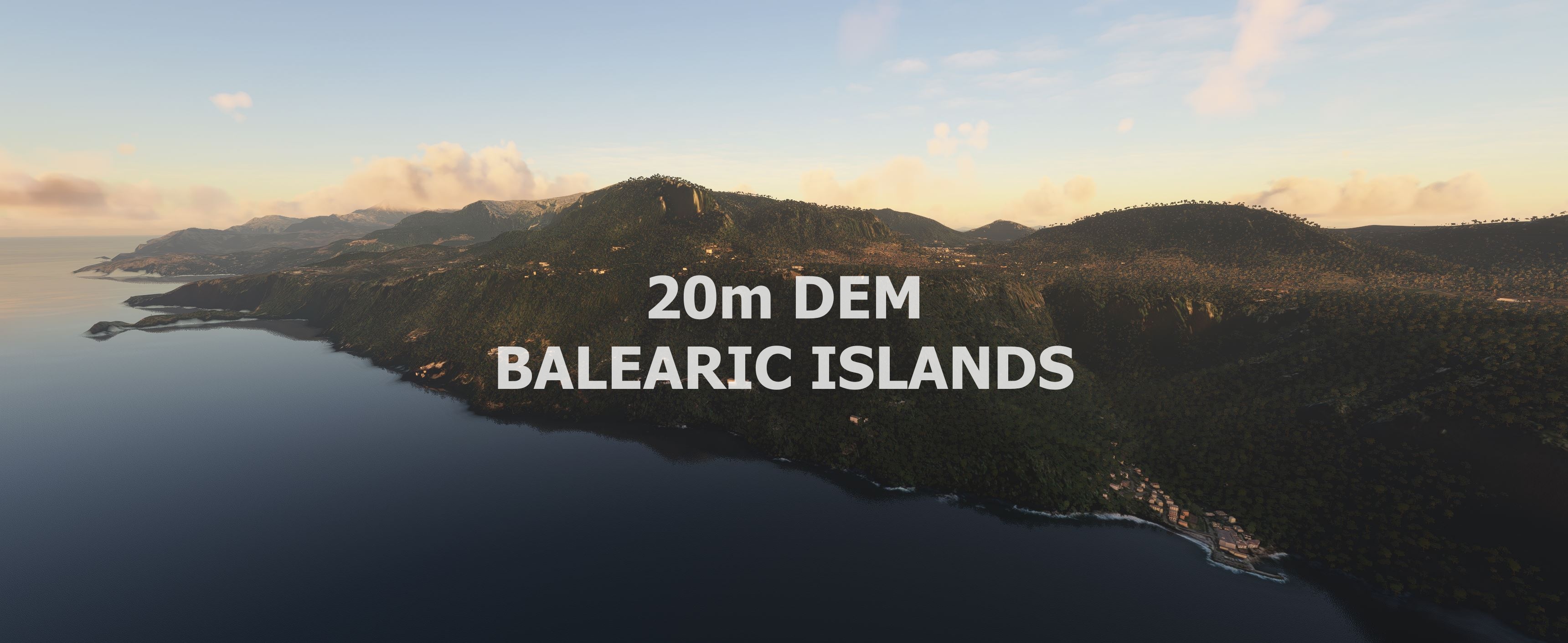
Experience the Balearic Islands
This mod contains customized height profiles. The mod contains high definition LIDAR DEM data with a mesh resolution of 20m. The height resolution is as good as 0.1m.
The mod does not only provide mountain shapes being very close to reality, but also flattens lakes & rivers and gets rid of any terrain artifacts.
IMPORTANT
Disclaimer: The creator of this mod is not responsible for any problems, damage, incompatibilites to other mods or performance issues that might occur.
Please note, that this mod is a very high resolution mesh. The elevation data is applied through terraforming rectangles, thus loaded at a certain distance from the player. When travelling fast or at high alitude (wide range of view) there might be too many new rectangles loaded simultaneously and thus stutters might occur.
If you have any stutters you can try and reduce your ingame render settings or uninstall!
If you are mainly flying airliners in high altitude, there is probably no benefit for you in using this mod.
Credits
The elevation data used was a LIDAR 20m height profile compiled by Sonny (https://data.opendataportal.at/dataset/dtm-europe)
It was then transfered into MSFS using MSFS Toolkit by Nool Aerosystems (https://msfs.nool.ee/)
Thank you both and for anyone reading this: Please go ahead and support them!
Thanks Troglodytus for you help!
Enjoy your VFR flights above the Balearic Islands!
Spain Balearic Islands 20m DEM - High Resolution Terrain Elevation Data from LIDAR Imaging
Explore the Balearic Islands with this high-resolution terrain elevation data add-on, featuring customized height profiles and LIDAR DEM data with a 20m mesh resolution. Enjoy realistic mountain shapes, flattened lakes and rivers, and a removal of terrain artifacts for an immersive flying experience. Credits to the creators for their dedication in bringing this detailed elevation data to Microsoft Flight Simulator. Fly VFR above the Balearic Islands and enhance your simulation experience.


Nutzerbewertungen
6 Bewertungen
Versionsgeschichte
Keine Versionsgeschichte verfügbar.
Ähnliche Addons
Swiss mountains tree fix (trees on mountains removed)
A comprehensive mod fixing tree placement on Swiss mountains, particularly removing inaccurately placed trees on mountain peaks. The update includes a shift to more realistic conifer trees in the Alps and an expansion to border areas of France, Italy, and Austria. From Alpstein Säntis to Stockhorn, numerous locations across Switzerland have been meticulously corrected for a more authentic flight experience.
von THEOLI4D
Shorter Trees / Tree Height Modification VERSION 4.0 for MFS2020 (shorter, realistic trees)
Experience realistic and shorter trees in Microsoft Flight Simulator with the Shorter Trees / Tree Height Modification VERSION 4.0 add-on. Compatible with the latest version of MSFS, this mod provides adjusted tree heights for a more authentic flying experience. Update includes enhanced tree coloration blending seamlessly with photogrammetry trees. Installation is simple - just copy the folder into your community folder and enjoy a new perspective from the skies.
von ARIF STUDIOS - Adnan Arif
AUSTRIA 10m DEM - High Resolution Terrain Elevation Data from LIDAR Imaging
Explore the stunning terrain of Austria with this mod featuring high-resolution LIDAR data, offering a mesh resolution of 10m for a more realistic flight experience. Flatten lakes, rivers, and eliminate any terrain artifacts as you soar over the Austrian landscape. Divided into regions for convenience and performance optimization, this mod enhances the mountain shapes to mirror reality and provides a smoother flying experience. Experience Austria like never before with enhanced elevation data and realistic terrains.
von Troglodytus
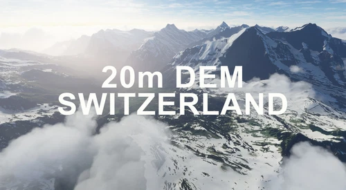
SWITZERLAND 20m DEM - High Resolution Terrain Elevation Data from LIDAR Imaging
Explore the beauty of Switzerland with this mod offering high resolution terrain elevation data using LIDAR imaging. The mesh resolution is 20m, providing exceptional detail with a height resolution of 0.1m. Update includes extreme LIDAR meshes for specific regions. Please note potential performance impacts and report any bugs for further improvements. Fly VFR over Switzerland with enhanced realism and accuracy.
von Troglodytus
Melden Sie sich an, um an der Diskussion teilzunehmen
AnmeldenKommentare(12)
over 3 years ago
Thank you for your work! It's awesome but in the northern coast, from Dragonera Island there's a bug that affects all northern Mallorca. Anyway it's incredible the detail level!
over 3 years ago
Mallorca coastline in the north at Point "POS" is not better :-(
over 4 years ago
Is it compatible with other Mallorca Scenerie's????
over 5 years ago
Thanks so much, really brings these beautiful Islands to life! Is it possible to do Croatia?
over 5 years ago
Very nice, however I just noticed by flying from northeast down to Palma, that there is a significant amount of terrain morphing, although not everywhere, just some small valleys and ridges. Strange, as I did not observe this in any other 20m DEM I installed so far (Pyrenees, Swiss Alps, Austria, Germany). Stuttering was not an issue though...
over 5 years ago
Thanks for the great work :D
over 5 years ago
This is great - thanks a lot :-) Would it possible to do Iceland ?
over 5 years ago
It is on the list :)
over 5 years ago
That sounds very good :-) Thanks again
over 5 years ago
thanks a lot wonderful job....can you please ALPI APUANE tuscany italy?
over 5 years ago
Maybe troglodytus is doing this ;) he has it on his list.
over 5 years ago
Another very nice work, many thanks for sharing