

Beschreibung
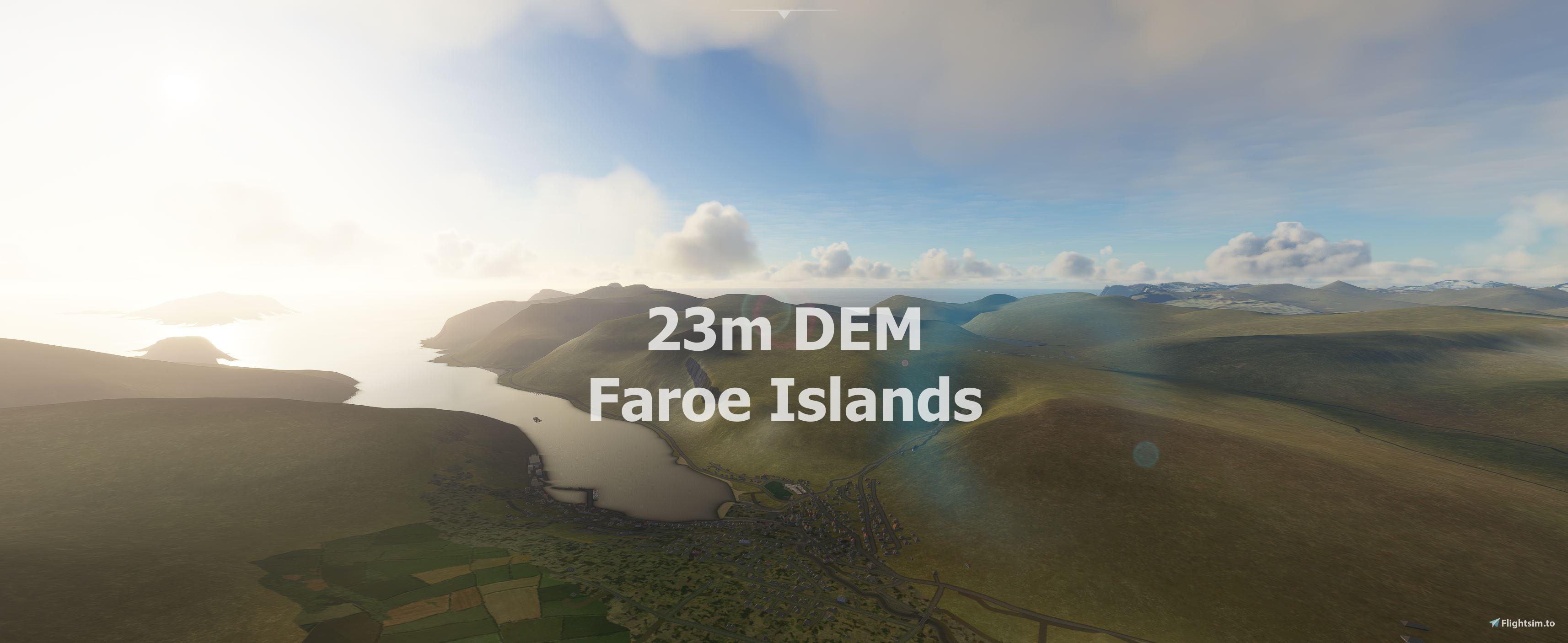
Experience the Faroe Islands
This mod contains customized height profiles. The mod contains high definition SRTM DEM data with a mesh resolution of 23m.
IMPORTANT
Disclaimer: The creator of this mod is not responsible for any problems, damage, incompatibilites to other mods or performance issues that might occur.
Please note, that this mod is a very high resolution mesh. The elevation data is applied through terraforming rectangles, thus loaded at a certain distance from the player. When travelling fast or at high alitude (wide range of view) there might be too many new rectangles loaded simultaneously and thus stutters might occur.
If you have any stutters you can try and reduce your ingame render settings or uninstall!
If you are mainly flying airliners in high altitude, there is probably no benefit for you in using this mod.
Credits
The elevation data used was a SRTM 23m height profile (http://www.viewfinderpanoramas.org/dem3.html)
It was then transfered into MSFS using MSFS Toolkit by Nool Aerosystems (https://msfs.nool.ee/)
Thank you both and for anyone reading this: Please go ahead and support them!
Thanks Troglodytus for you help!
Enjoy your VFR flights above the Faroe Islands!
Known issues
the free available Vagar Airport is a little bit crazy, i am contacting the author maybe we can fix that.
Faroe Islands 23m DEM - High Resolution Terrain Elevation Data from SRTM Arc 1"
High Resolution Terrain Elevation Data for the Faroe Islands, featuring a customized mesh resolution of 23m. Please note potential performance impacts and consider adjusting rendering settings if experiencing stutters. Explore the stunning landscape of the Faroe Islands in Microsoft Flight Simulator with this detailed elevation data mod.

Nutzerbewertungen
4 Bewertungen
Versionsgeschichte
Keine Versionsgeschichte verfügbar.
Ähnliche Addons
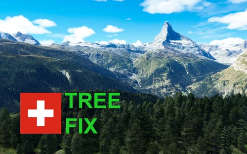
Swiss mountains tree fix (trees on mountains removed)
A comprehensive mod fixing tree placement on Swiss mountains, particularly removing inaccurately placed trees on mountain peaks. The update includes a shift to more realistic conifer trees in the Alps and an expansion to border areas of France, Italy, and Austria. From Alpstein Säntis to Stockhorn, numerous locations across Switzerland have been meticulously corrected for a more authentic flight experience.
von THEOLI4D
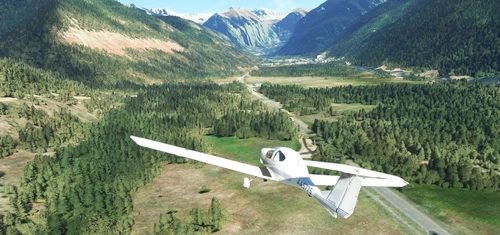
Shorter Trees / Tree Height Modification VERSION 4.0 for MFS2020 (shorter, realistic trees)
Experience realistic and shorter trees in Microsoft Flight Simulator with the Shorter Trees / Tree Height Modification VERSION 4.0 add-on. Compatible with the latest version of MSFS, this mod provides adjusted tree heights for a more authentic flying experience. Update includes enhanced tree coloration blending seamlessly with photogrammetry trees. Installation is simple - just copy the folder into your community folder and enjoy a new perspective from the skies.
von ARIF STUDIOS - Adnan Arif

Cinque Terre, Liguria, Italy
Explore the stunning coastal area of Cinque Terre in Liguria, Italy, featuring five charming villages and scenic hillsides. This add-on covers Monterosso al Mare to Riomaggiore, offering a detailed recreation of the UNESCO World Heritage Site. Choose between a high-detail version or a lighter version for optimal performance based on your preferences and hardware specifications.
von ezro

Port of Hamburg (hand crafted)
The Port of Hamburg add-on for Microsoft Flight Simulator features a meticulously handcrafted recreation of the port area along the north bank of the Elbe River, spanning 5 km. It includes realistic representations of key buildings and facilities, such as the Stage Musical Theater and the German Port Museum, as well as major infrastructure like the Köhlbrand Bridge and cruise terminal. The scenery is compatible with Global AI Ship Traffic (GAIST) for enhanced marine activity and includes over 20,000 individual objects for a detailed simulation experience.
von Manfred Siedler / SimDocks Hamburg
Melden Sie sich an, um an der Diskussion teilzunehmen
AnmeldenKommentare19
Hi.
Now since Asobo released a much better photoreal version of Vagar, will this addon improve the mesh, or is the one from Asobo better or maybe the same now?
Have a nice day :)
I see a lot of water creeping on the cliffs and a random terrain bumps affecting roads - are they the issues of the WU5?
Unfortunately, there are several issue with Vagar airport (superspud) and landscape around
Right because vagar airport has some terraforming in the pack that is incompatible with the mesh. :)
We need an update to the mesh so it works with WU5
There is another mesh available here (by another developer). I think that one is better than this. Try check it out.
Sorry to say -very far from real
Thanks for the feedback. The good thing is you dont has to use this addon :)
Just only feedback. Its not your work that i criticizes. If you go on Google Earth its the same (not photographic) and thats strange.
thank you very much for doing this, I have been waiting for it very long. it seems to me the height data are not that very correct because the level height of the lake near the airport does not match to the real level
Great job - thanks. But still a bit far from real.
Many thanks for the Faroe Islands! do you have any opportunity to do Madeira too?
Yes, it is on the list ;)
Dude you did it. Thanks
Thanks :)
Thank you so much my dear friend !!! I love Norway... and Faroe Islands!!!
Nice one... Svalbard next? :-)
i try it, it will take some time Svalbard is huge :D did not know that it is that huge :D
It's bigger than you would imagine. It would just fit inside southern Norway :-)