


Castles and Cows
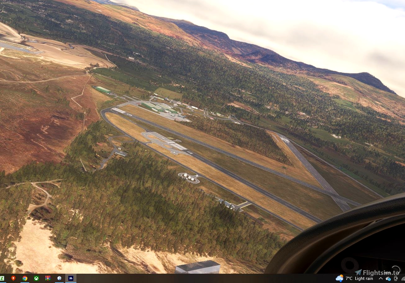
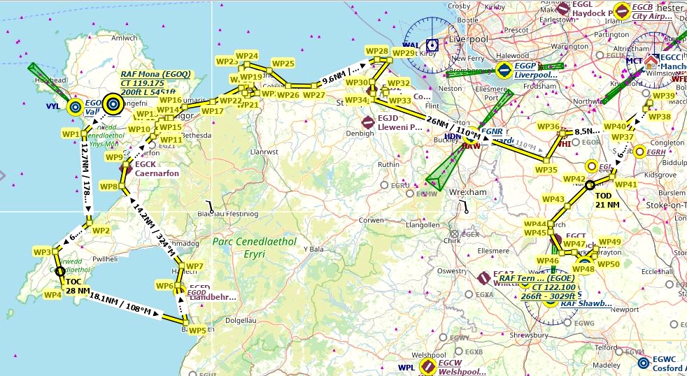
RAF Mona (EGOQ) to RAF Ternhill (EGOE).
North Wales is known for its castles and Cheshire is known for its cows for their milk and cheese.
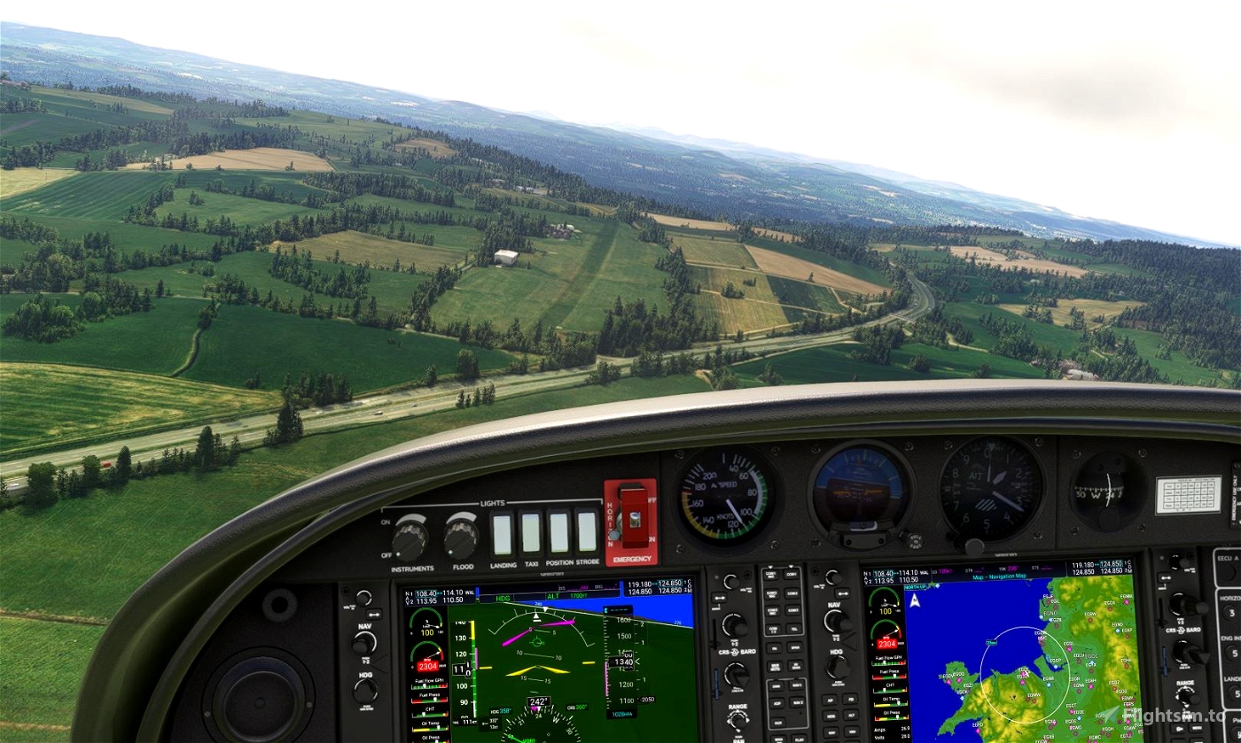
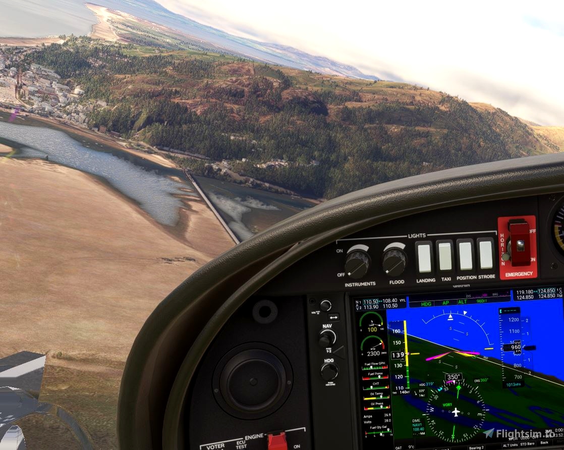
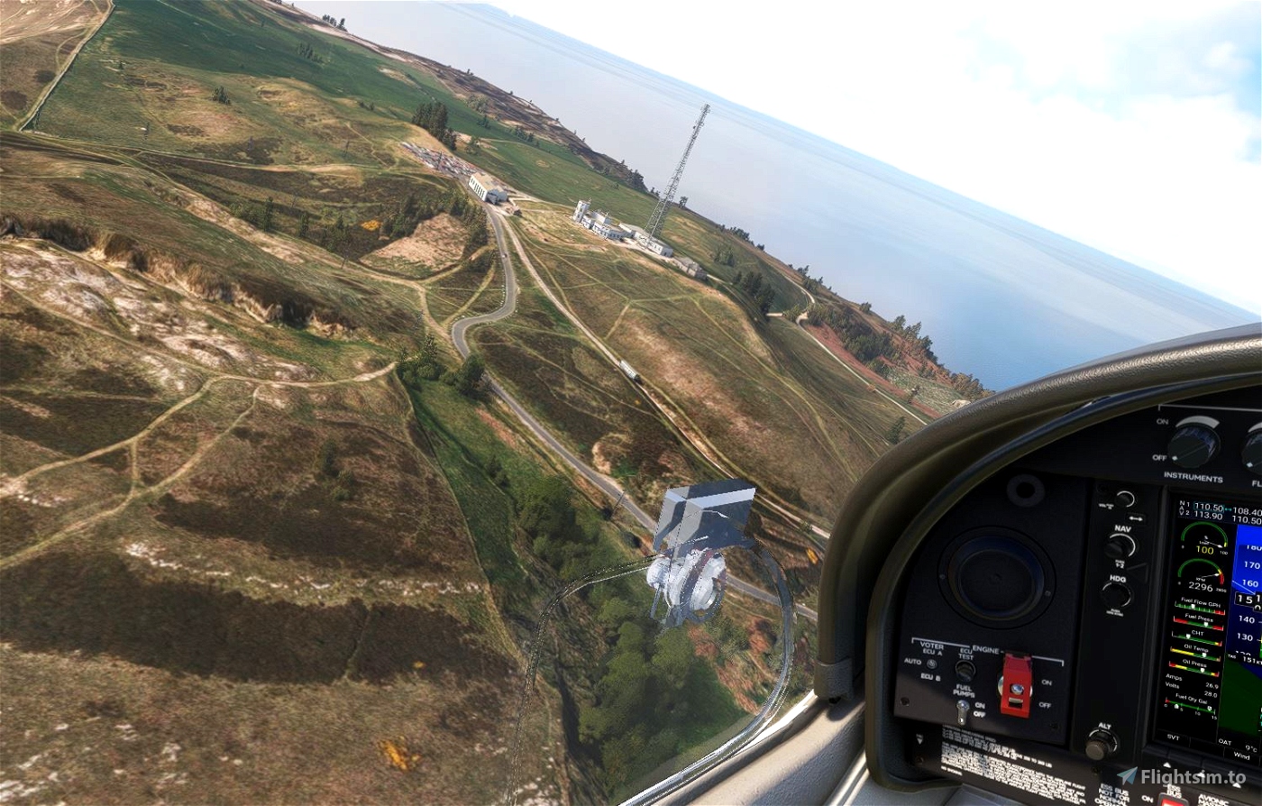
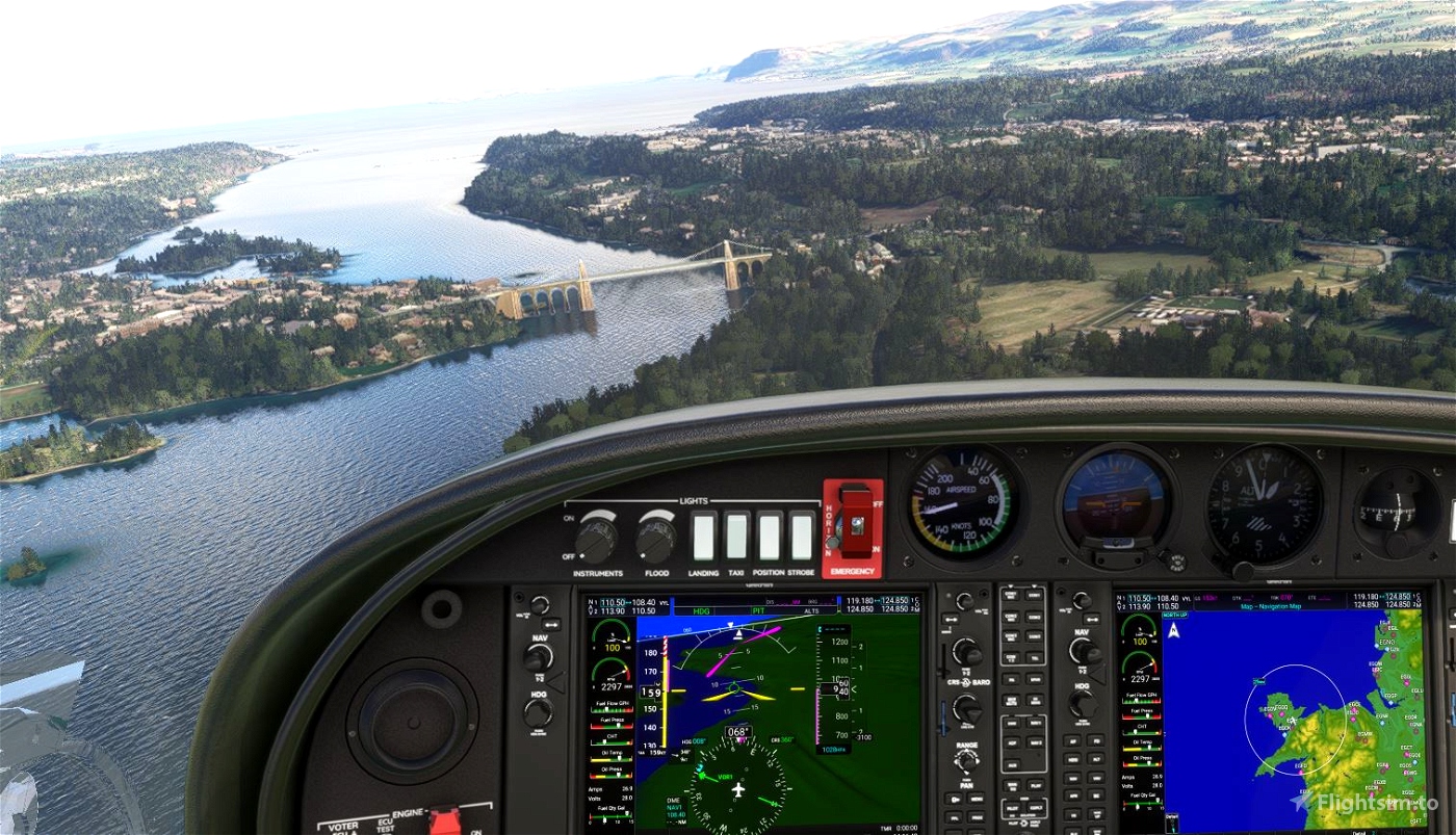
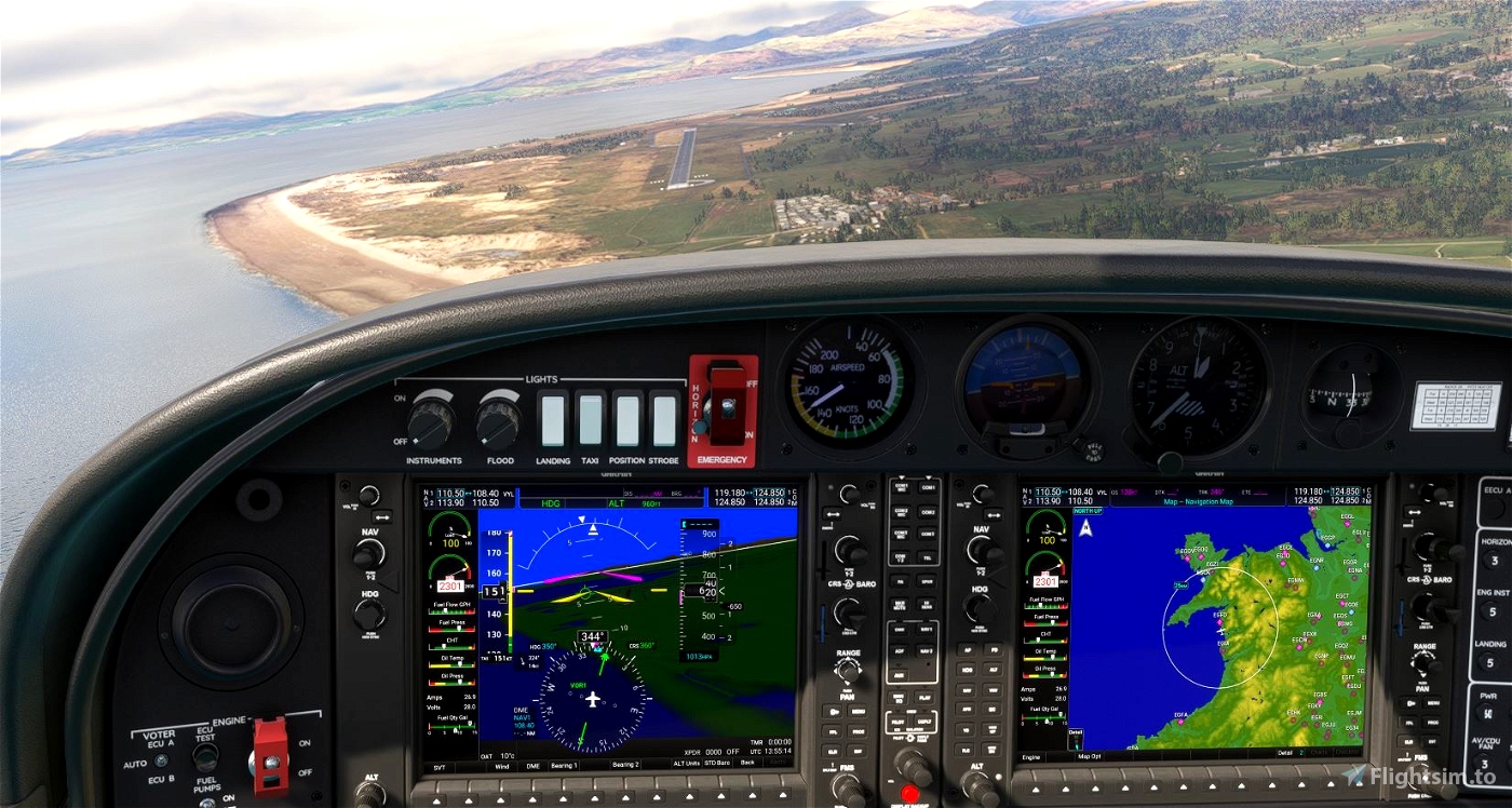
Departing RAF Mona heading south west then south east to Barmouth on the coast of Wales. Turn north along the coast for the first touch and go at the disused airfield at RAE Llanbedr. Continuing north, along the coast, the first castle is seen at Harlech soon comes into view. Returning back across the Lleyn Peninsula get ready for the next touch and go at the airfield at Caernarvon (EGCK). After passing head to the right and fly along the Menai Straits. As you fly past Caernarfon, look out for the towns castle to the right of track. If you are feeling brave fly under the bridges at the north end of the Menai Straits.
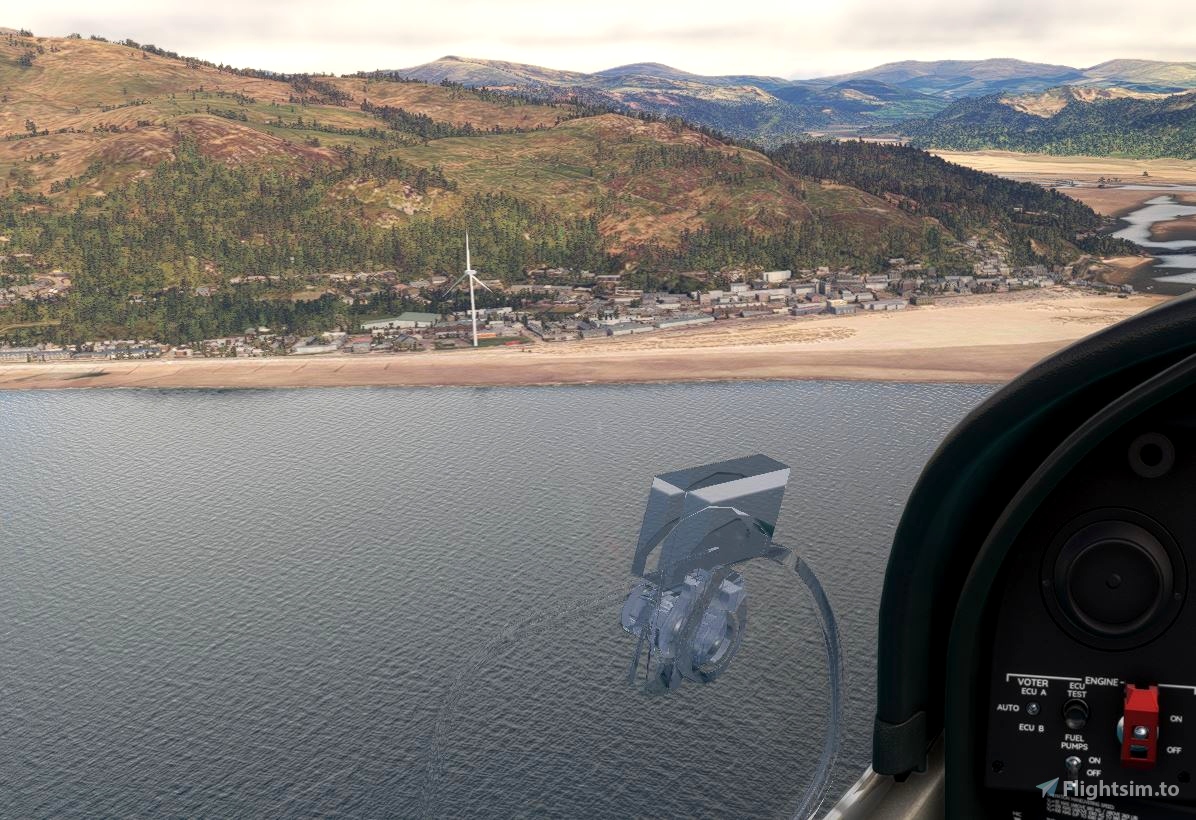
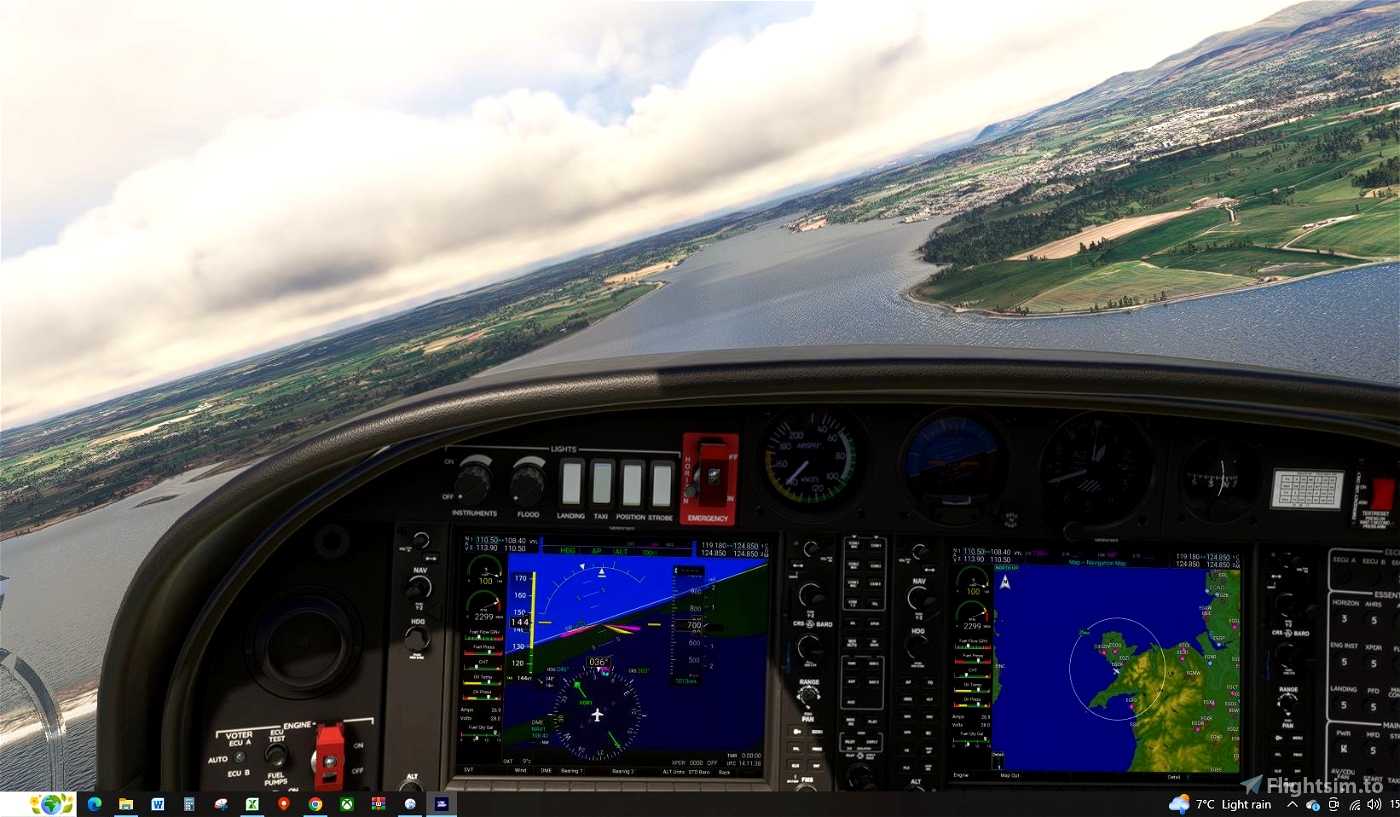
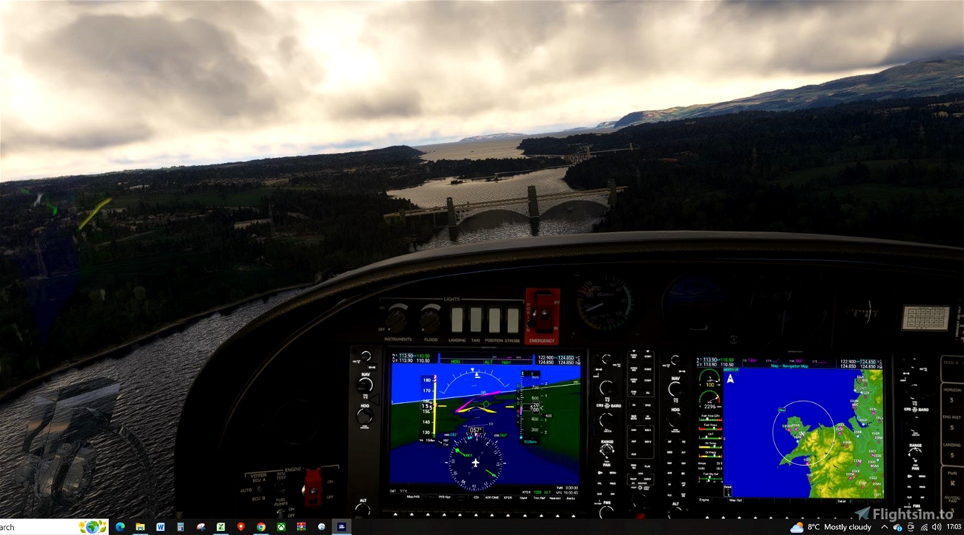
Continue east, following the coast until the Conwy river is reached, turn right and the castle is on the right, by the bridge. Turn north and fly around the Great Orme headland at Llandudno. Continuing to the east, fly along the North Wales coast for 20miles. Make a sharp right turn at Point of Ayr for your next touch and go at Rhedyn Coch Farm strip. Difficult to see. Almost immediatley followed by another touch and go at Bryngwyn Bach airfield.
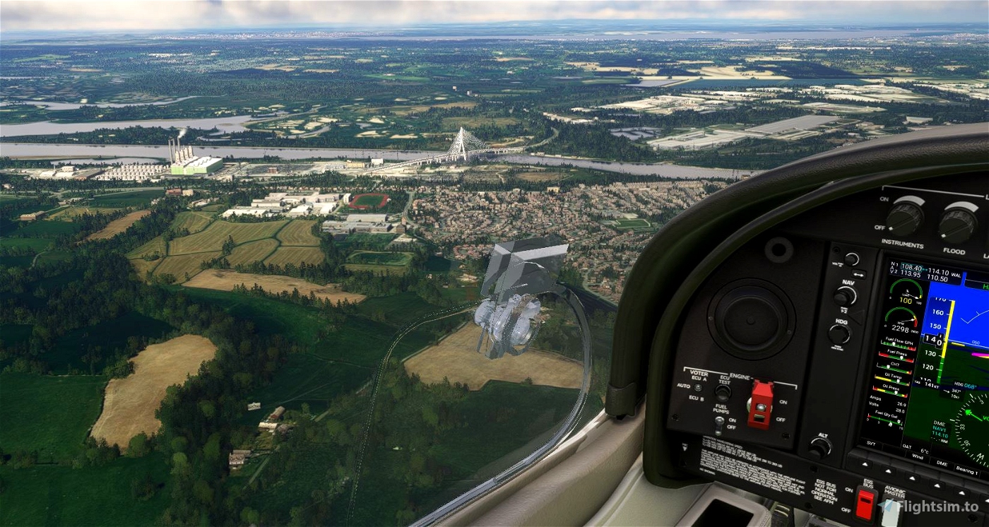
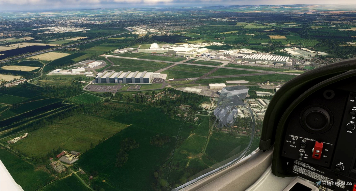
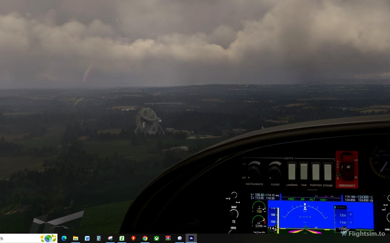
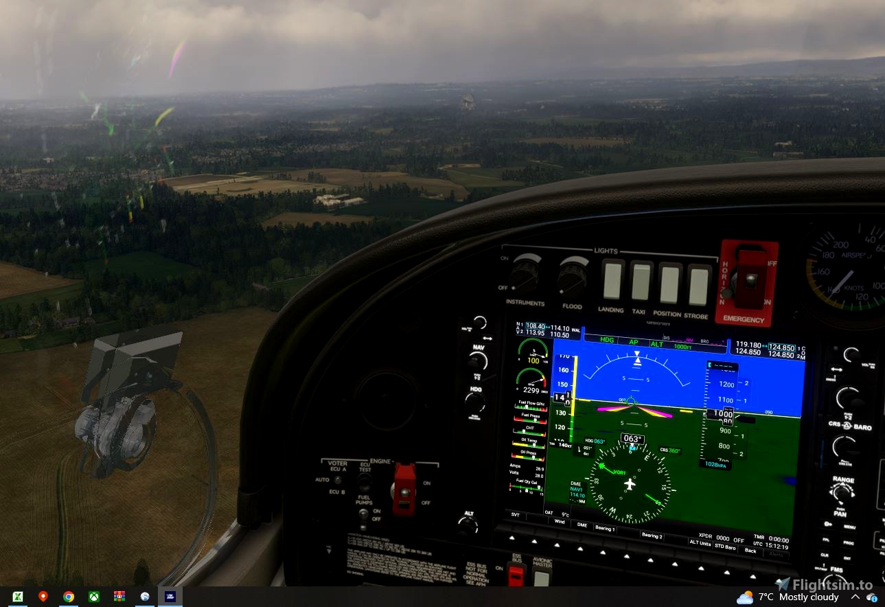
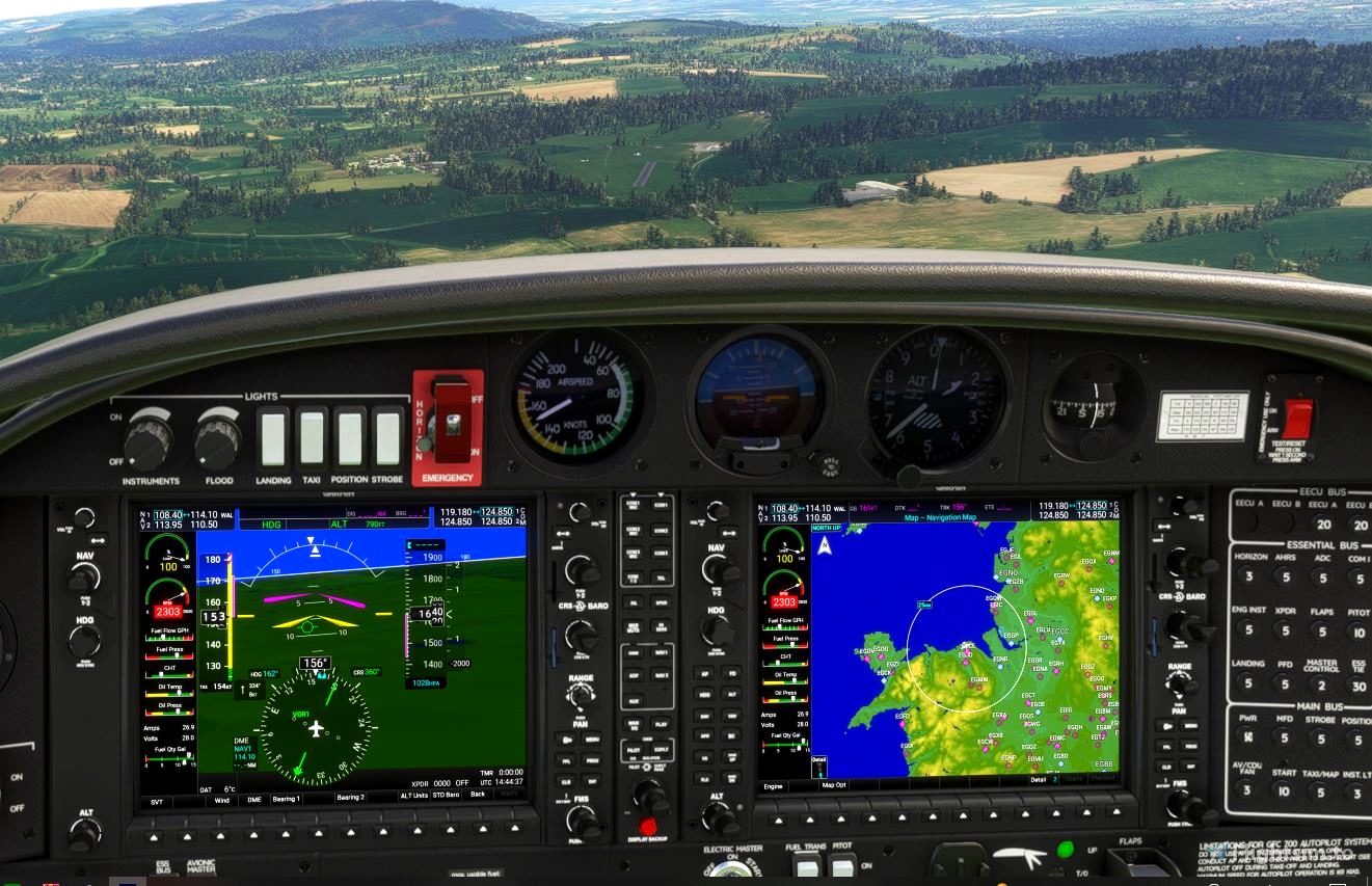
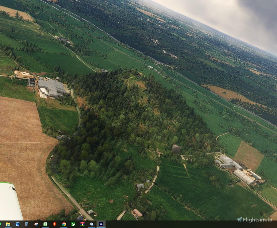
Onwards to Cheshire. Turn left heading eastwards for 12miles, passing the Airbus aircraft factory at Hawarden. Ahead another 12miles is Beeston Castle, standing on a distinctive hill in Cheshire (the ruins on the hill aren't shown, but the gatehouse on the east side of the hill is shown in FS2020). Turn slight north east and fly over Oulton Park Motor Racing Cicuit. Turn eastwards again for 10miles and over fly the M6 motorway at Junction 18. Turn north east and head for the Jodrell Bank radio telescope. Its easy to see. Jodrell Bank is used by the university of Manchester for astronomy studies of space. Finally turn south west for a 22mile leg to Market Drayton in Shropshire. Just to the east of the town is RAF Ternhill (EGOE). Circuit and land.
So 4 castles - Harlech, Caernarfon, Conwy and Beeston castles and 4 touch and go's along the way.
Total distance is about 220miles, about 1hr 30mins flight time in a Cessna 152. Try and keep below 1000ft AGL.
Within Little Nav map open the flight plan for more guidance in the 'Remarks' column of the flight plan table, at most way points or right click eack way point on the map and read the information box.
August 2023 update
Install the scenery linked below before flying, to replace the default scenery of FS2020
The default FS2020 scenery misses quite a number (or are in poor detail) the castles and bridges of North Wales
These files install the bridges across the Menai Straights, Holyhead ferry terminal, South Stack light house, a better Harlech Castle, a better Conwy Castle, Llandudno pier, Great Orme headland buildings and tramway, Conwy river bridge. Off the route of these flight plans, the disused power station at Trawsfynydd, the bridge across the estuary at Barmouth (no idea why FS2020 puts a wind turbine of the sea front at Barmouth. Its not there in real life), RAF Valley anf the other airfields named in the download links
https://flightsim.to/file/3284/chateau-de-harlech-castle
https://flightsim.to/file/52028/holyhead-north-wales-hand-crafted
https://flightsim.to/file/18781/north-wales-pois-hand-crafted-for-orbxgb
https://flightsim.to/file/28148/raf-llanbedr-egod-wales-tag21
https://flightsim.to/file/6020/north-wales-vfr-poi-s-custom-built
https://flightsim.to/file/9361/egov-raf-valley-custom-built
https://flightsim.to/file/27962/sleap-v2-egcv-shropshire-tag21
https://flightsim.to/file/27137/raf-tern-hill-egoe-shropshire-tag21
https://flightsim.to/file/6414/egoq-raf-mona
https://flightsim.to/file/5538/egnr-hawarden-custom-built
Lots of other scenery of Wales and Cheshire available for download -

 Ascot252

