
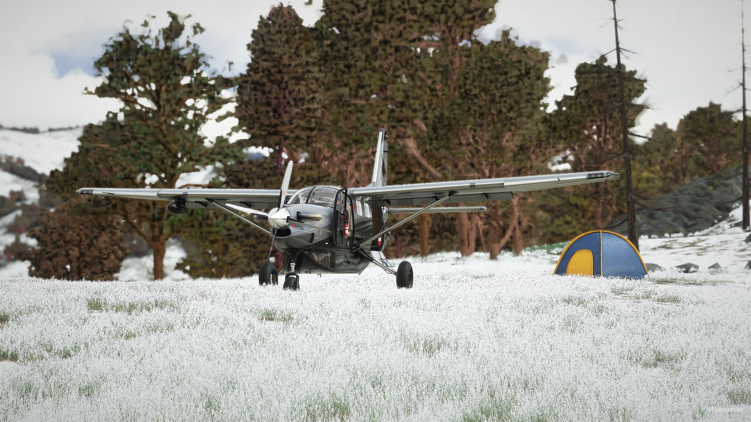
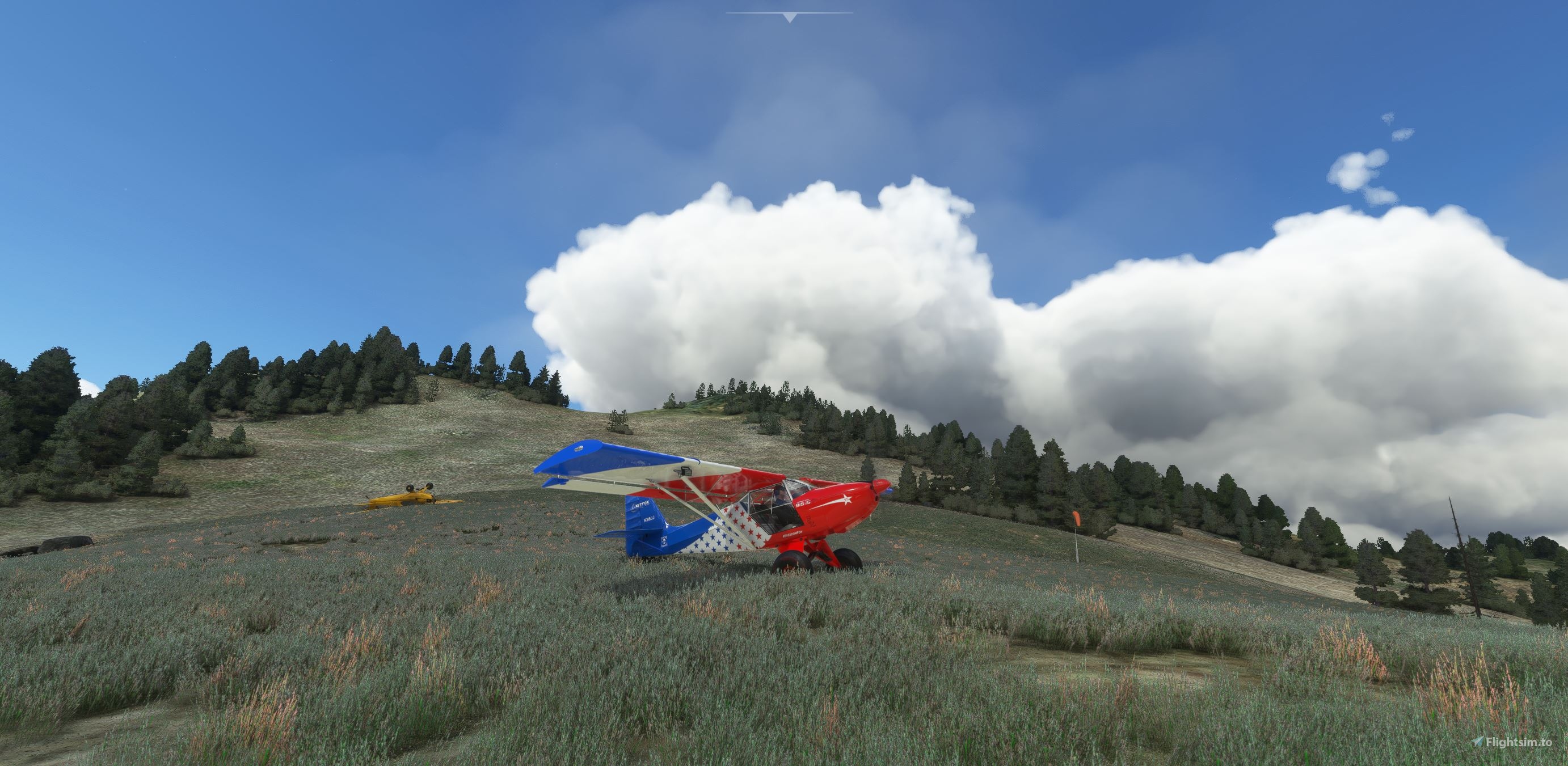
The Mile Hi airstrip is located in the Idaho backcountry about 25 miles northeast of Johnson Creek (3U2) on a rather steep mountain top. The Idaho Forest Service has designated this airstrip for emergency use only because of its condition and location. To successfully land an airplane there requires special skills as it is very short, steep, challenging, and not very forgiving of any mistakes. Mile High airstrip is primarily limited by pilot ability and not really by aircraft and equipment. Will you take this challenge?
Location: Idaho, USA
Identifier: I97D (fictional)
Elevation: 5798 feet
Runway: 19/1 (Landing RWY19, takeoff RWY1)
Runway slope: About 20%
Service: None
Carefully handcrafted by Creative Mesh. For more information and support visit www.creative-mesh.com


Hi, v1.2 is not here. the downloaded archive only contains an empty file.txt
1 years ago
gmazzei55
hy tnx for your work. i love to fly in idaho and i love to start from your johnson creek airfield. when i download these scenery i have multiple folder. i put in comunity like these or i can put all in one folder before ??
2 years ago
Recently updated this file so all of u guys know where to put the files. No more worries about the correct installation path. Have fun!
2 years ago
CreativeMesh
FullGasse
i'll put that in my basket. Thank you good sir
2 years ago
jay3dee
Please include a containing folder so that everything doesn't just dump out individually into our downloads folders.
2 years ago
Recently updated this file so all of u guys know where to put the files. No more worries about the correct installation path. Have fun!
2 years ago
CreativeMesh
newtestleper
Thanks. I will download it. Hope you will do other bush strips or GA airports of this area in the future. For your info according to the site Ourairports this strip have a code. It is US-3399. I love your Johnson Creek!
2 years ago
antoniozzi
Took Trent Palmer's prestigious #FreedomFox by //42 for a quick trip to Mile Hi. Very suitable aircraft for this place: Fly low, don't die! Very demanding approach, lots of fun!
2 years ago
FlyLikeAnEagle
We figured out there is an issue with the windsock texture. Fixing this soon!
2 years ago
CreativeMesh