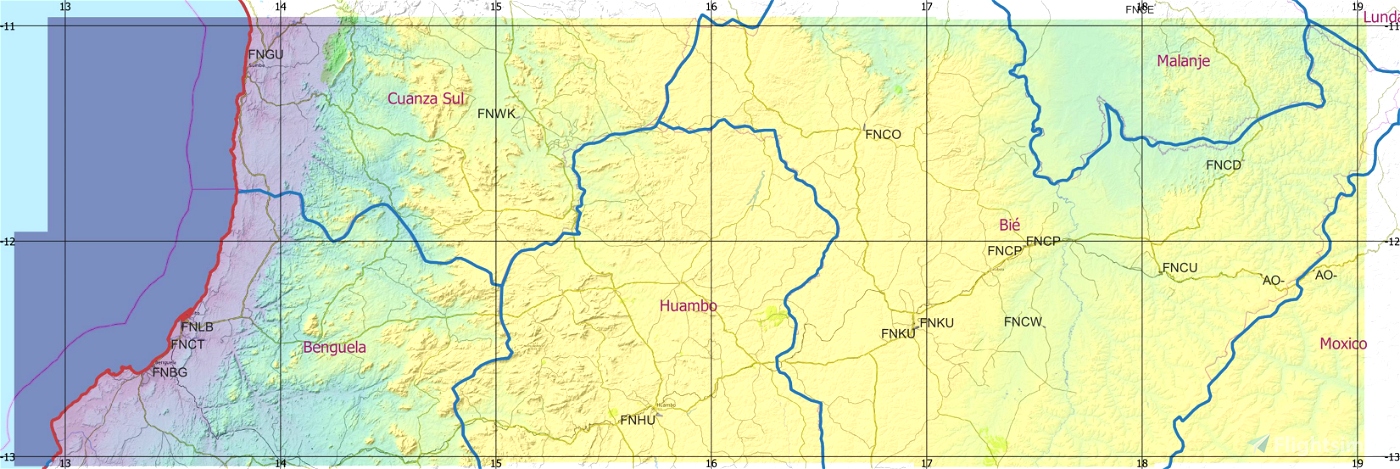
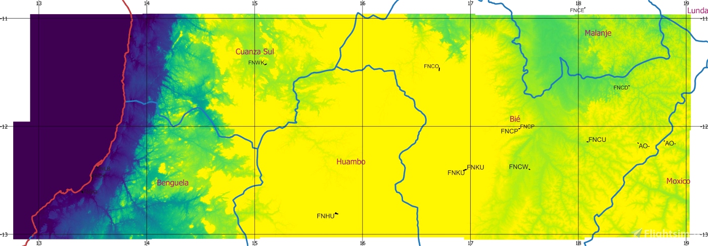
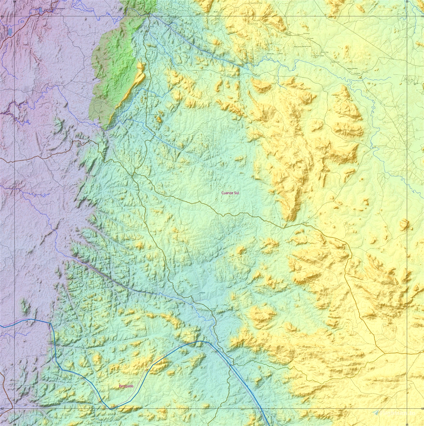
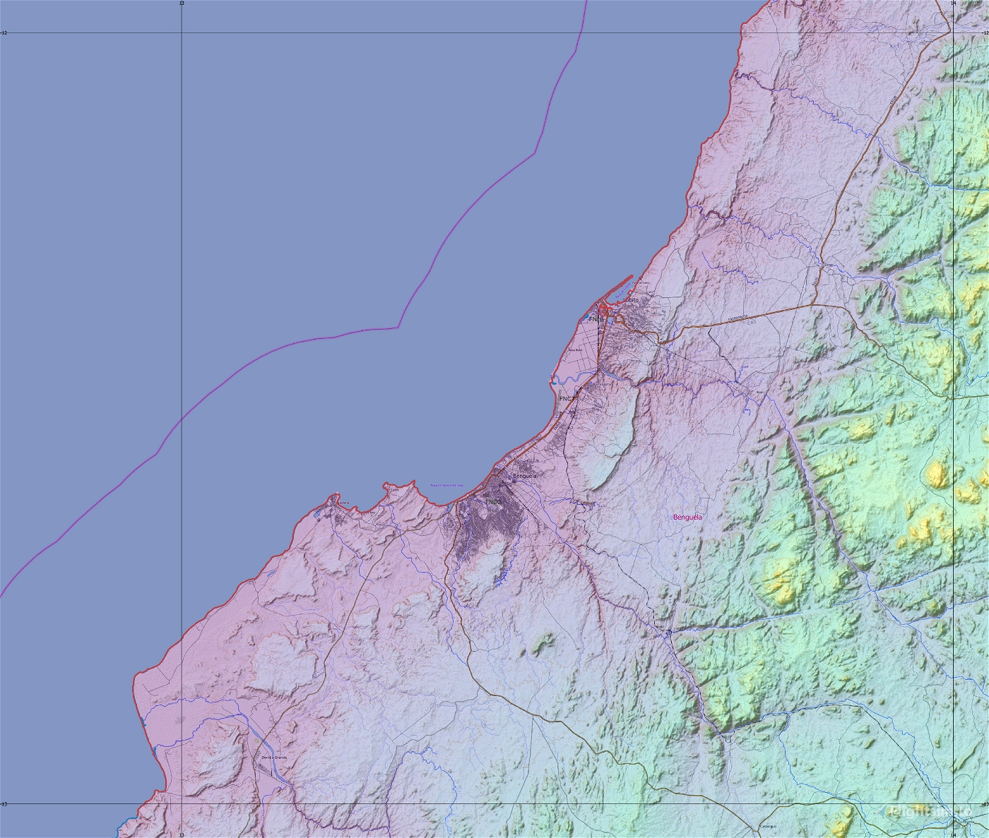
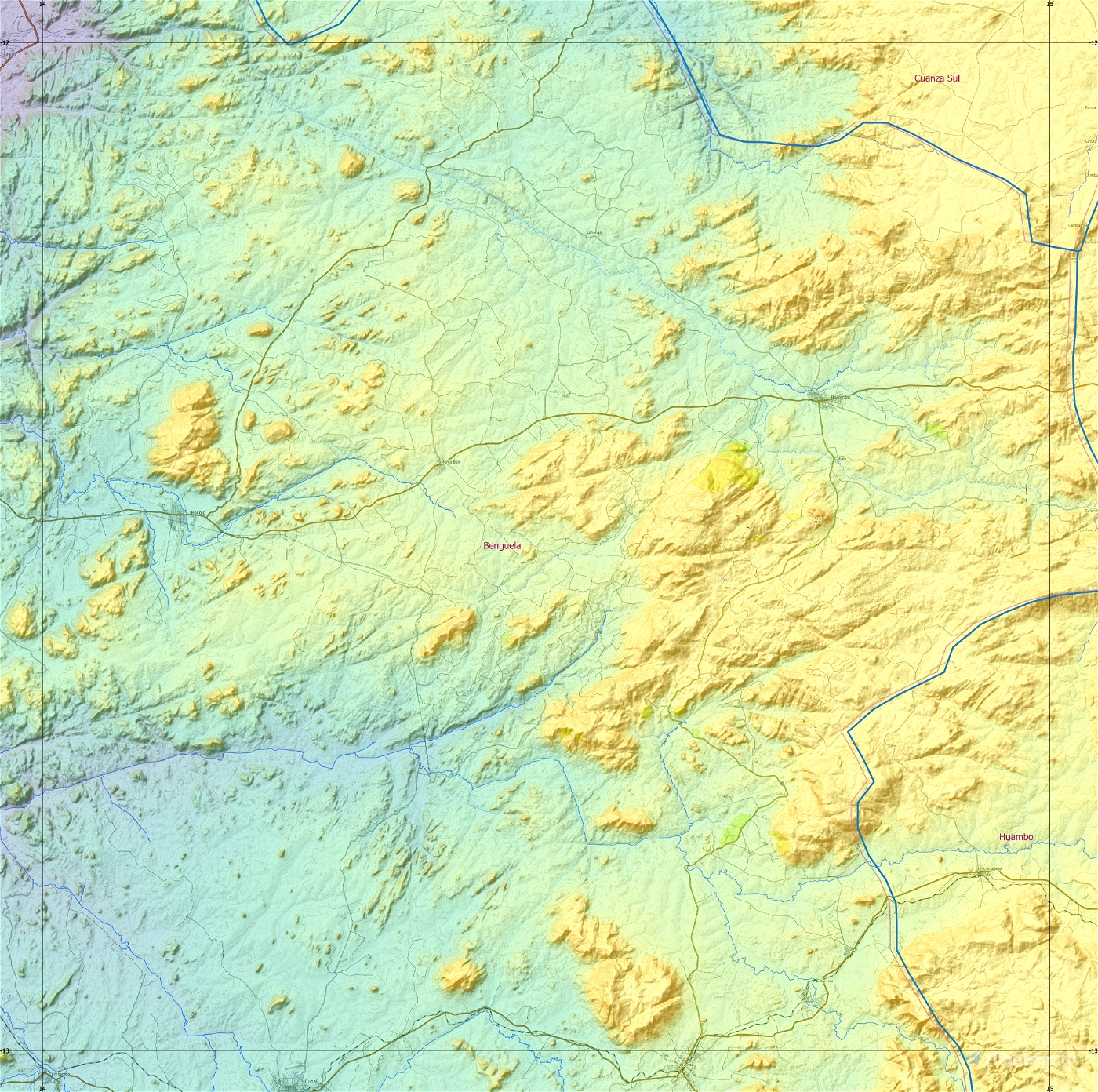
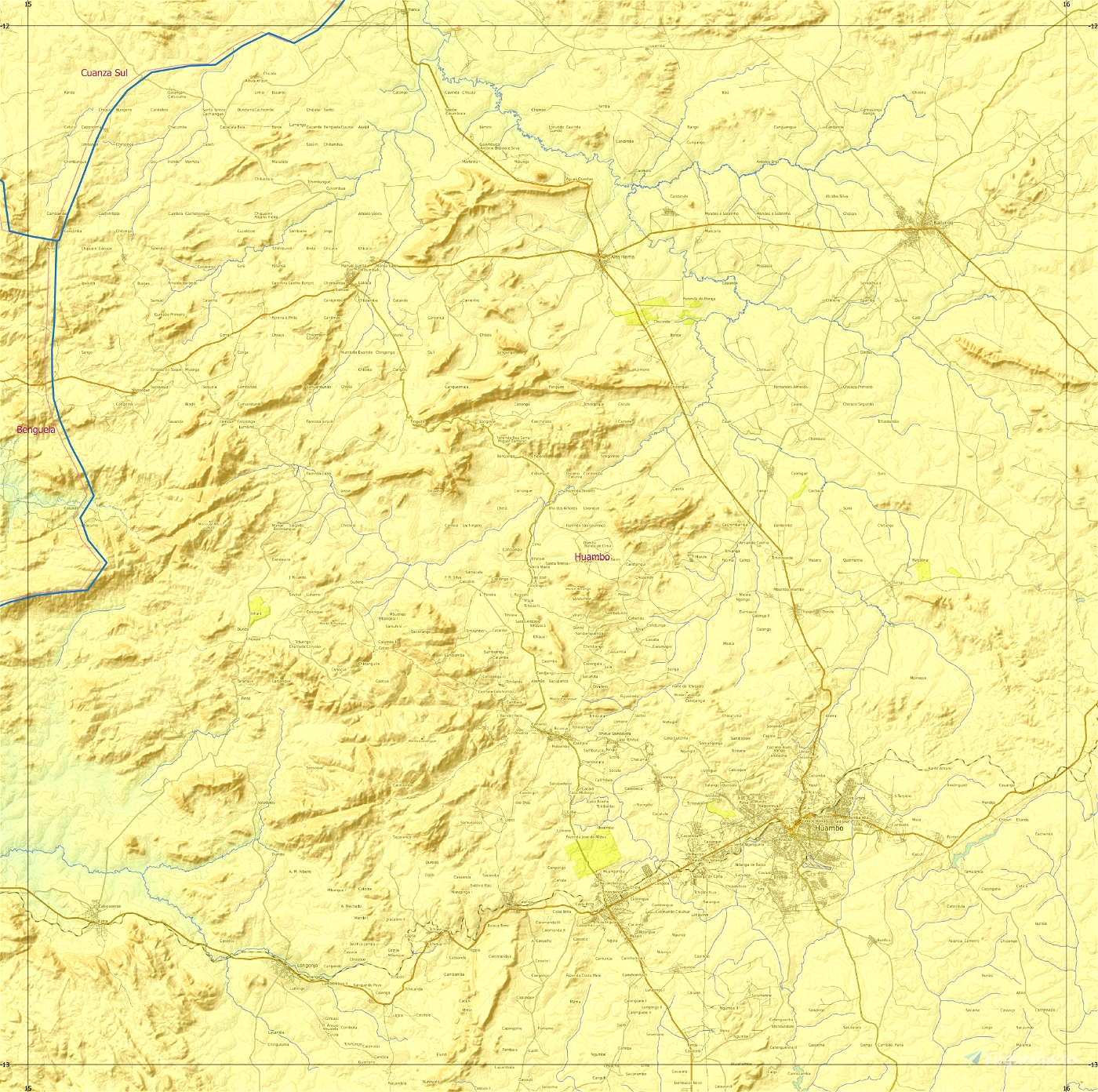
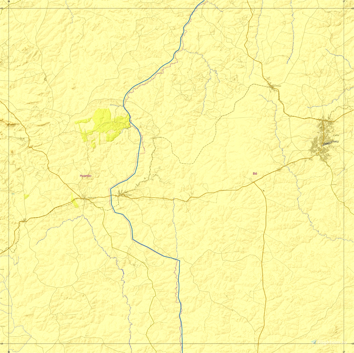
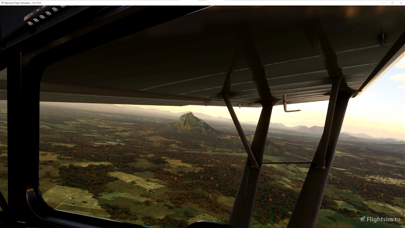
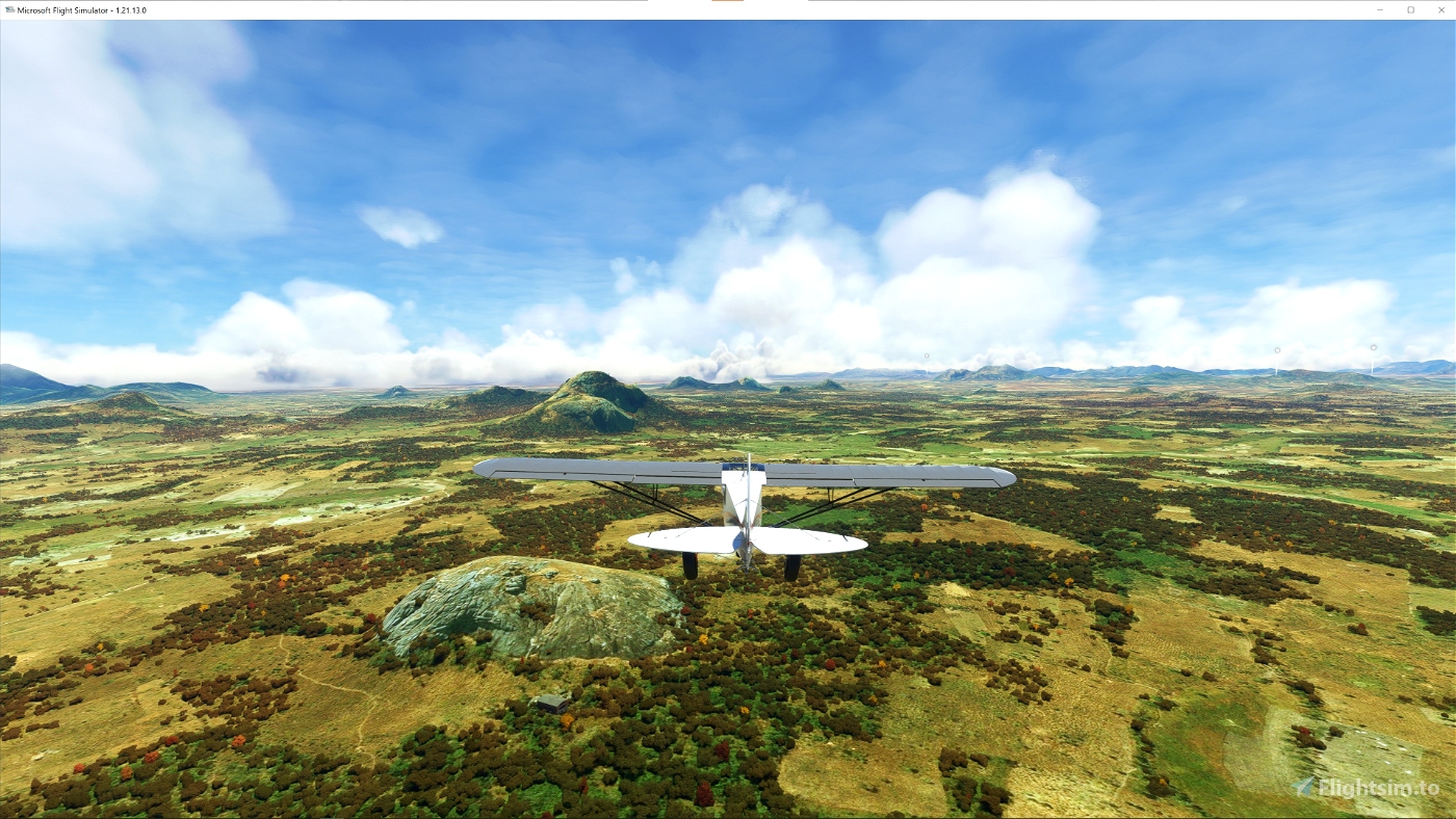

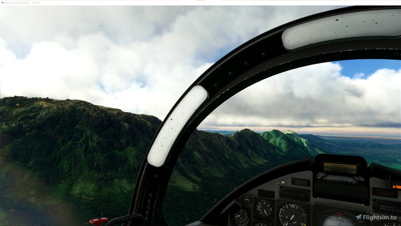
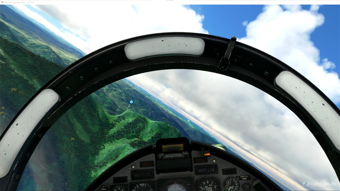
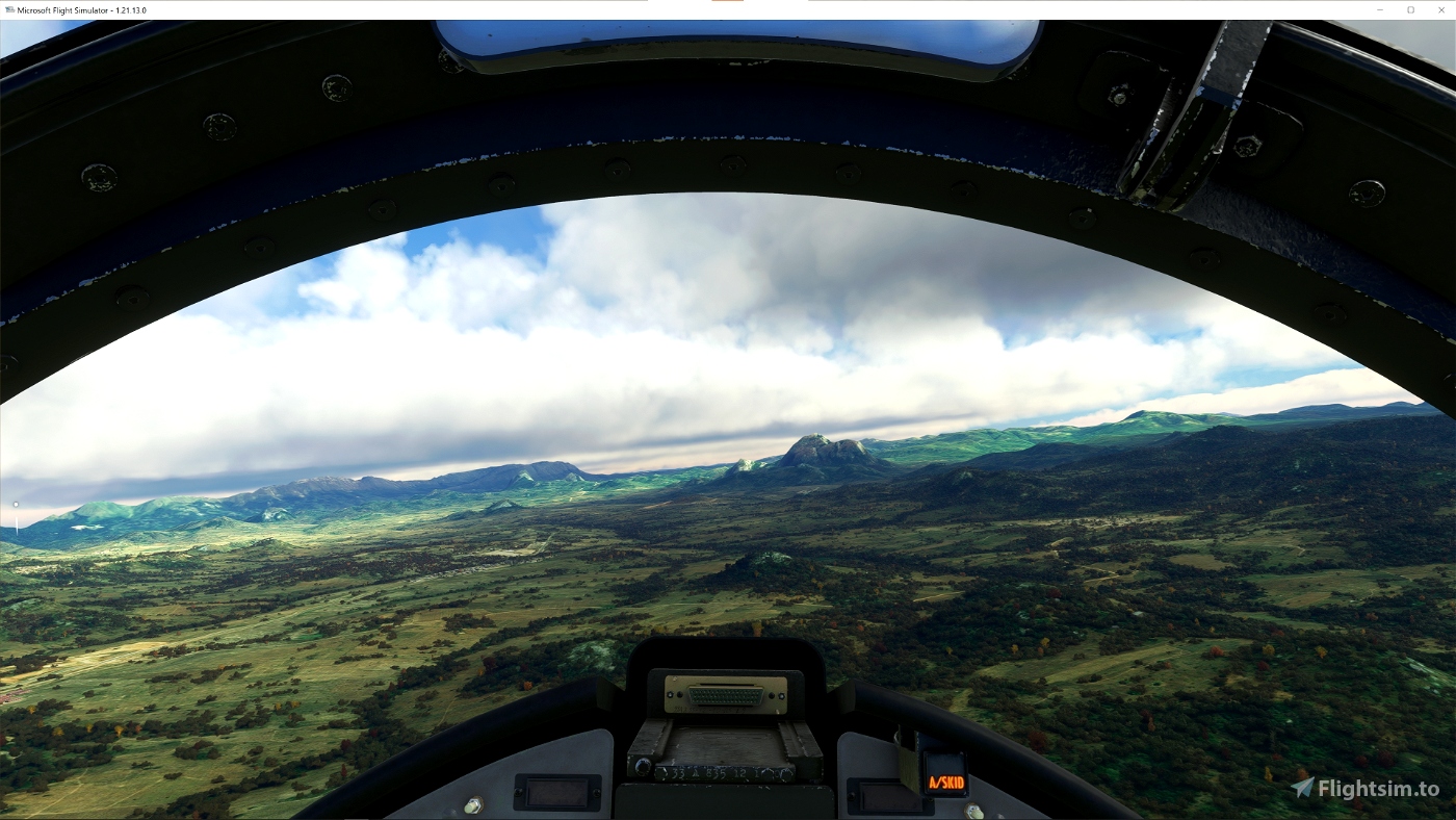
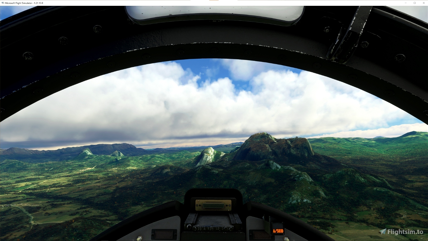
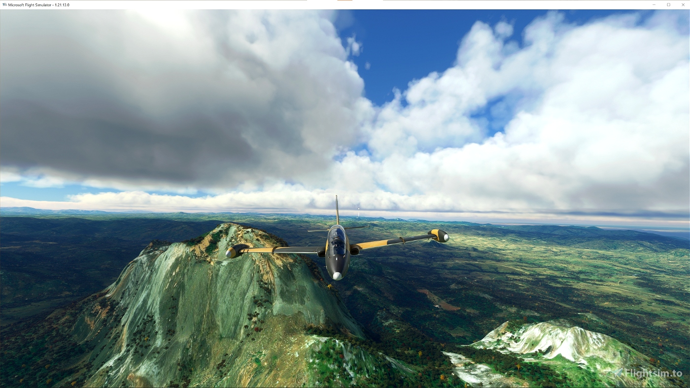
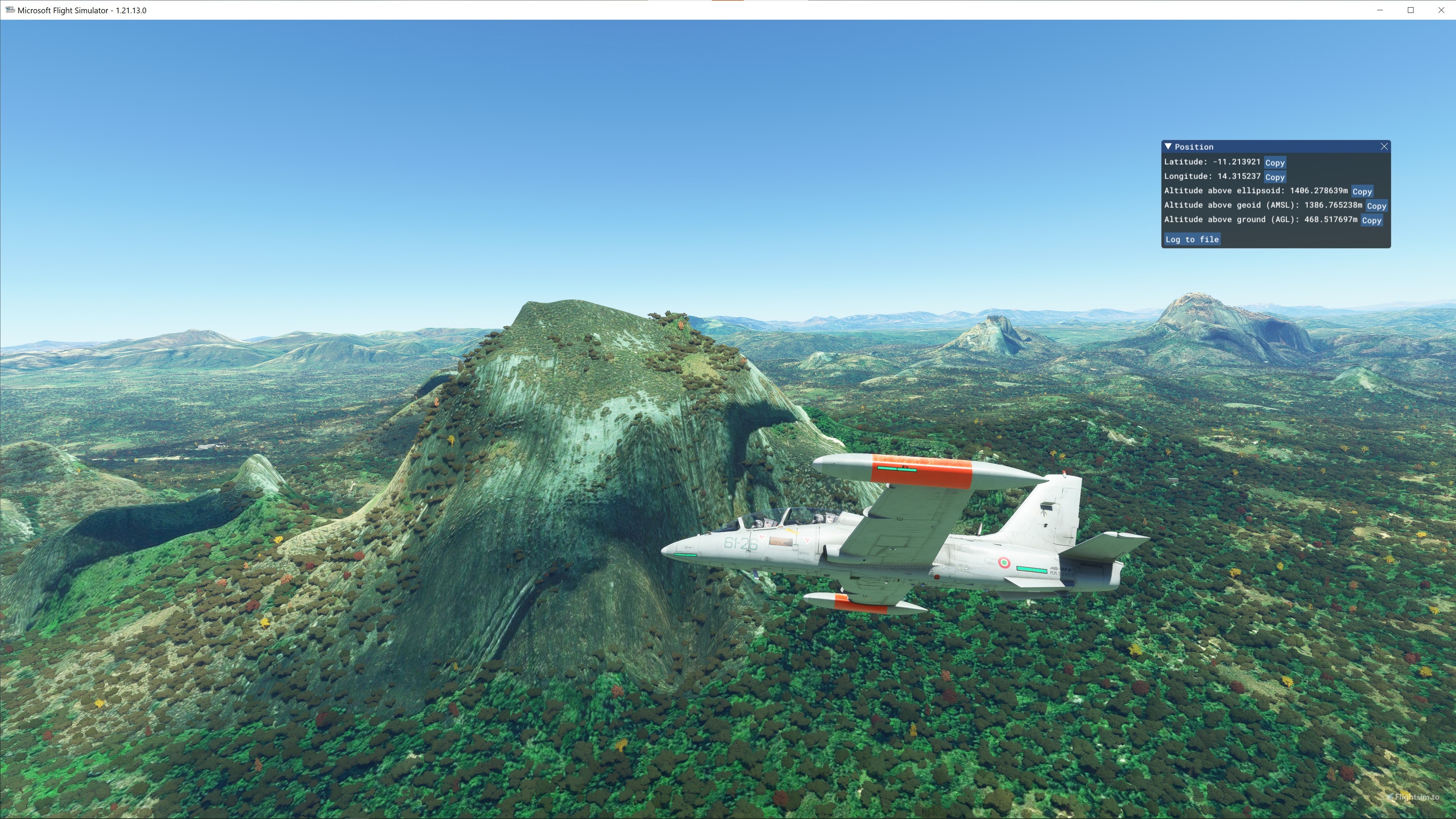
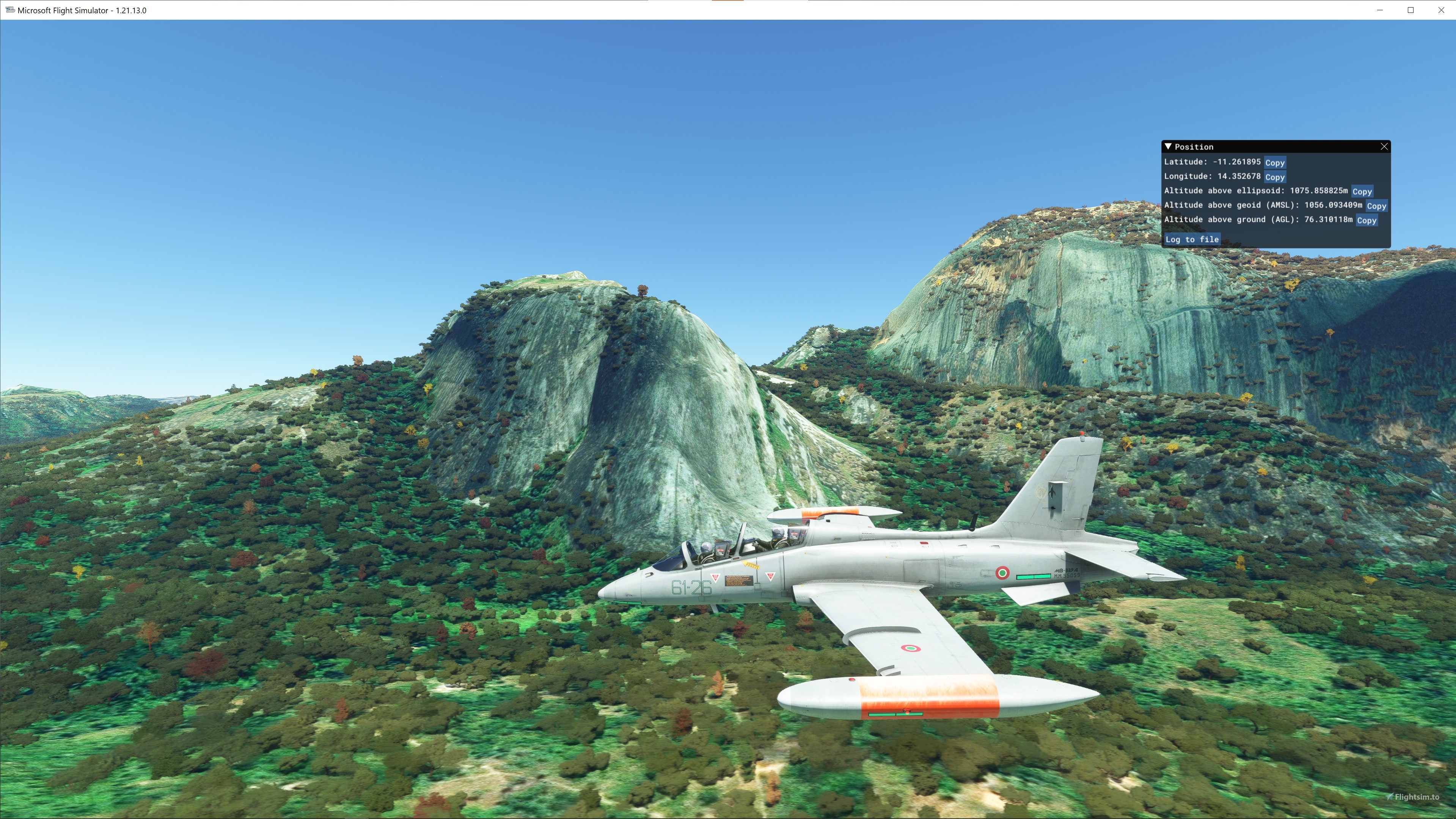
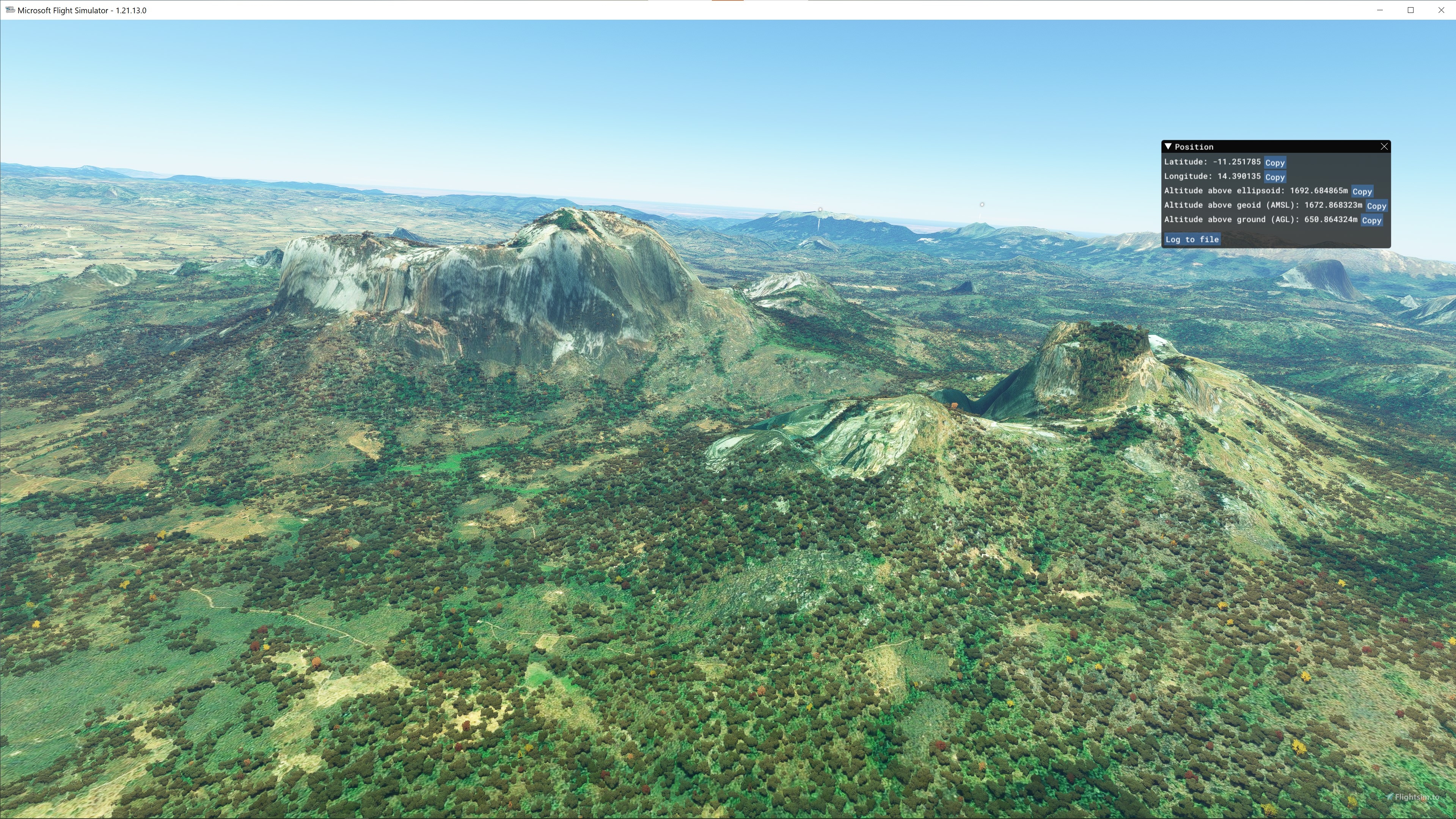
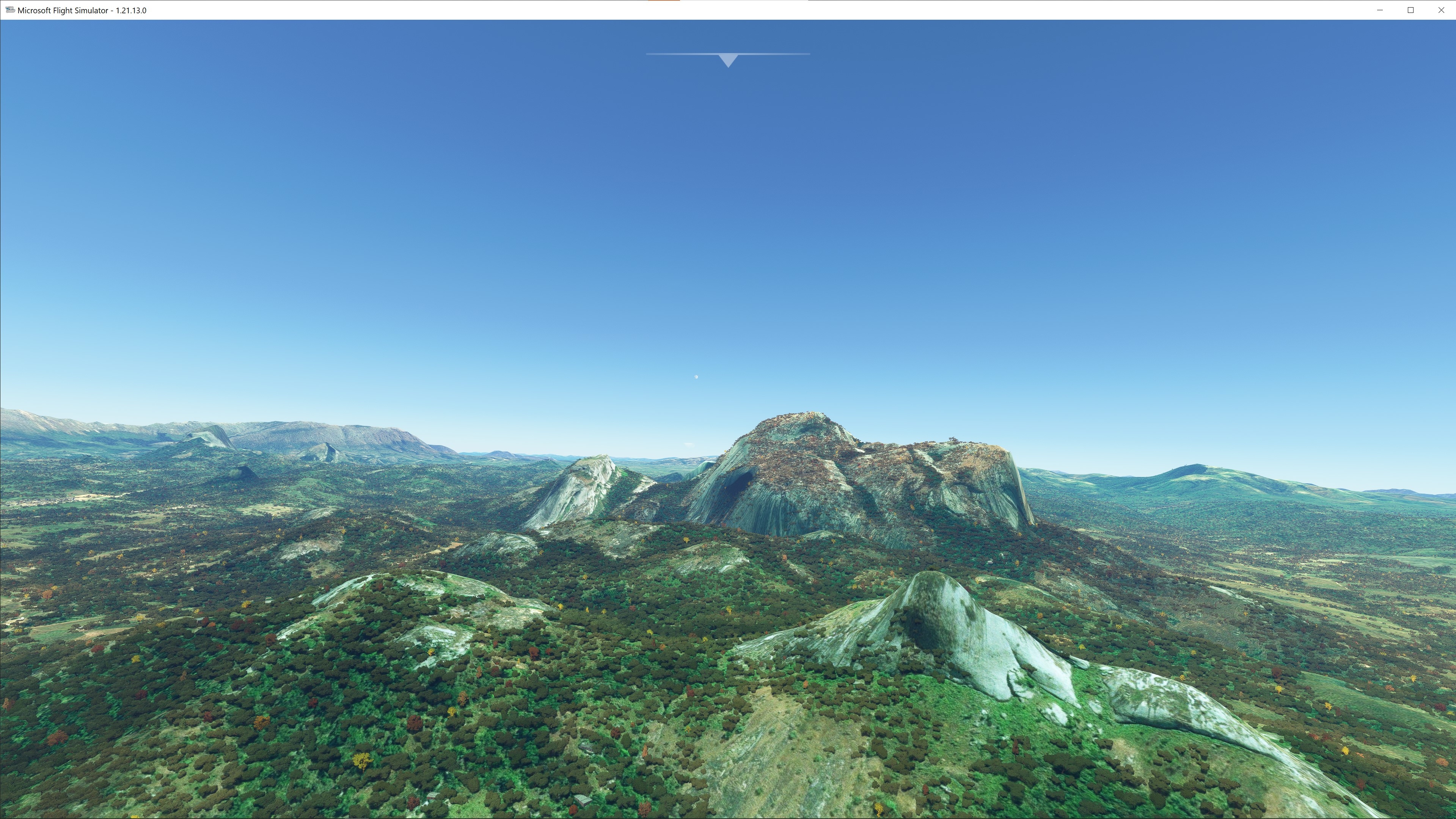
ASF ETM12m Angola - Enhanced Terrain Mesh 12m for Angola vol. 06 – Benguela / Huambo / Bié - version 1.00
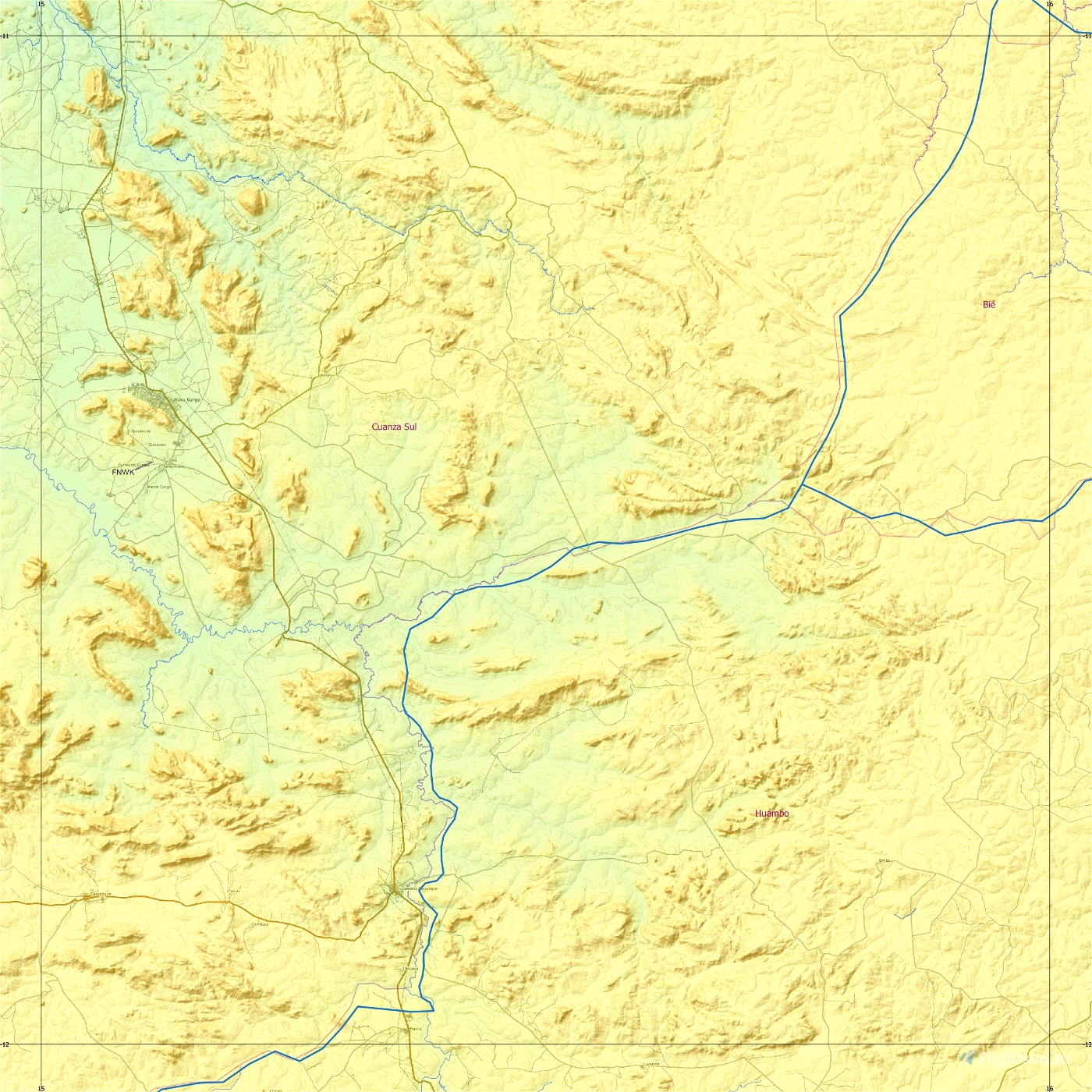
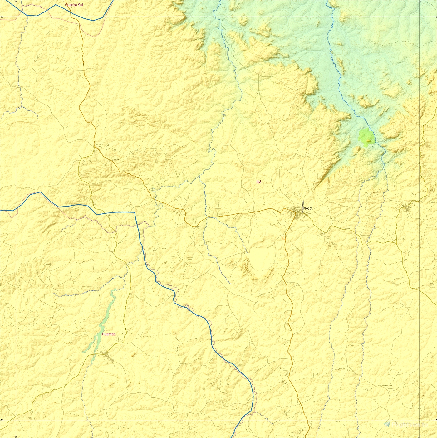
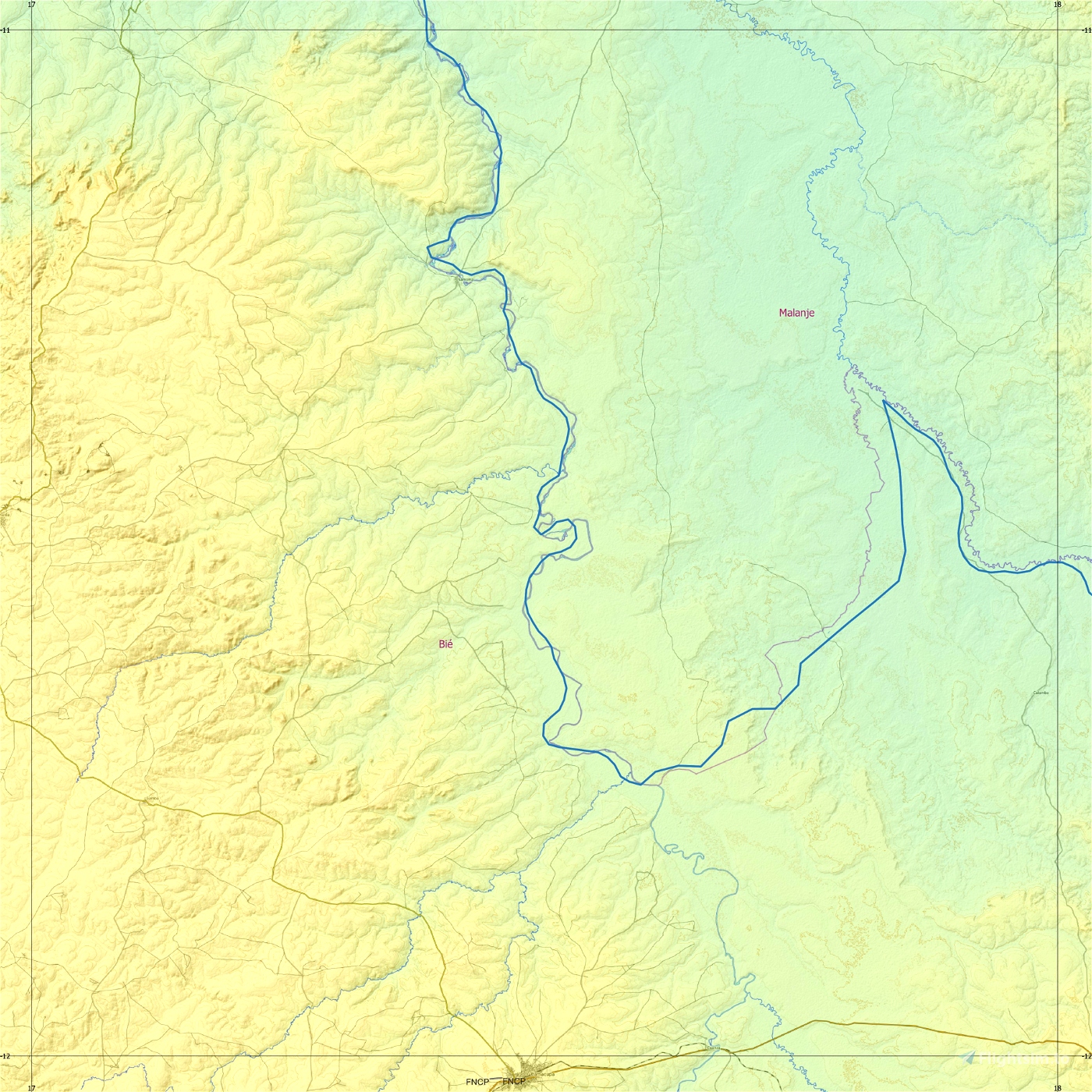
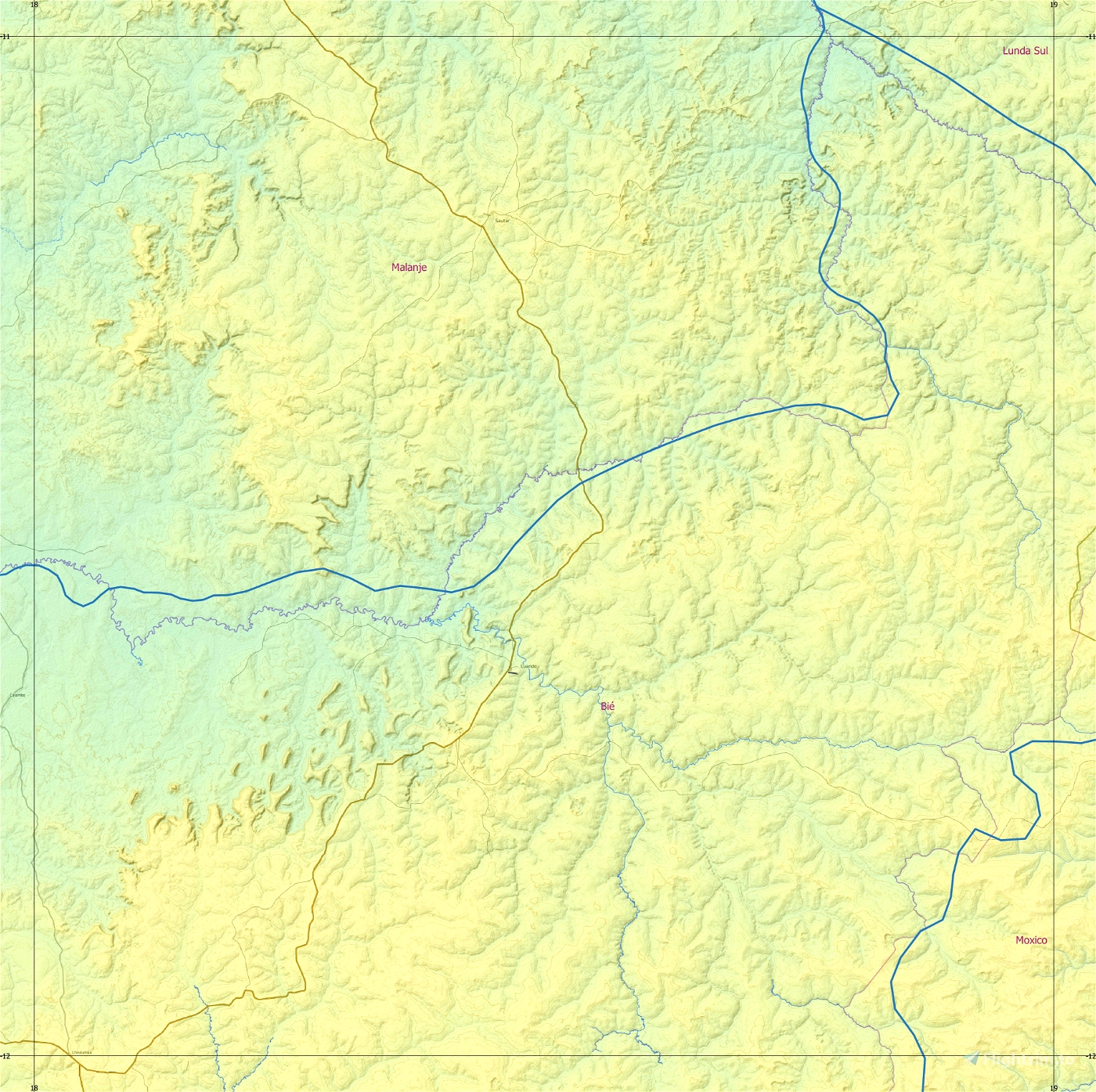
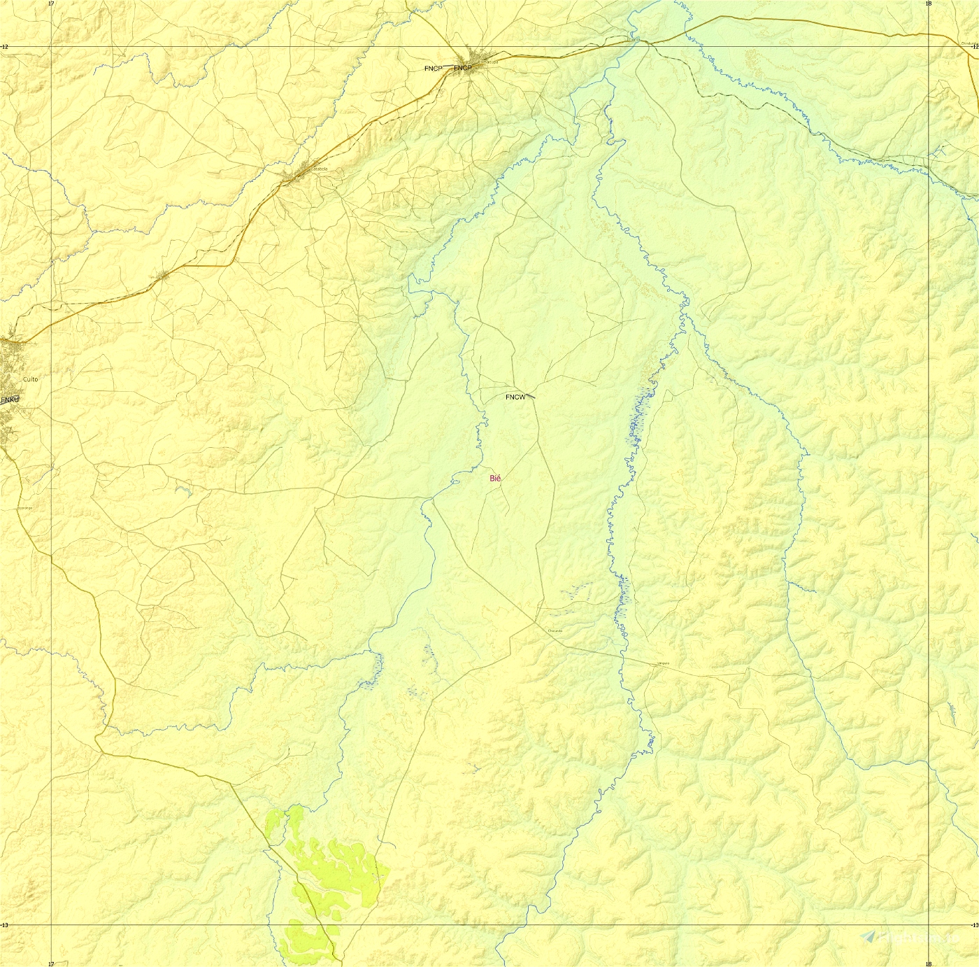
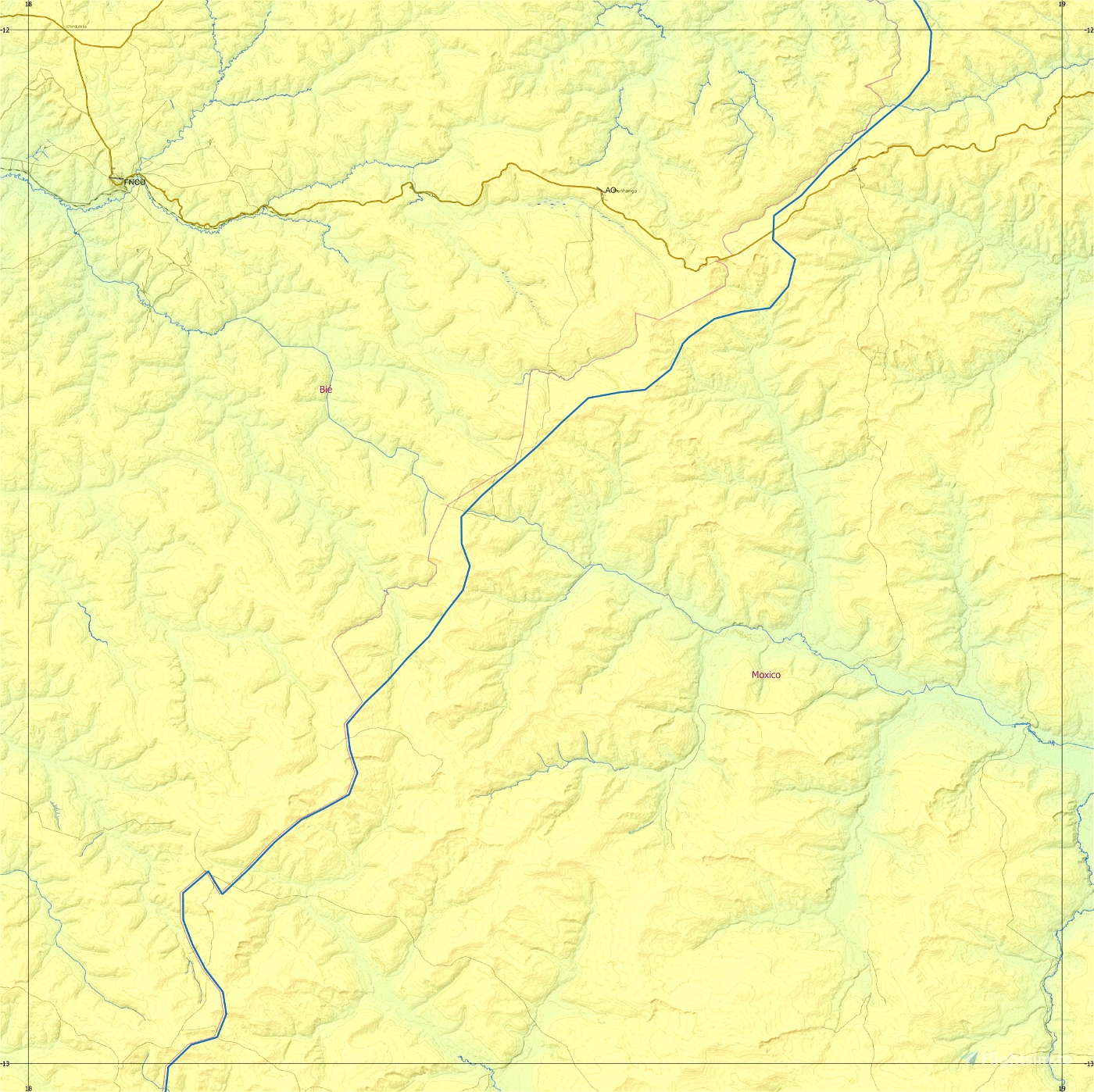
This is an Enhanced Terrain Mesh ALOS PALSAR RTC 0,41 arc sec (12,50 meters). Mainly the area covered by this terrain mesh is related to the region of ... see coverage map.
There are some recommended files for this add-on. See here "Dependencies"
Angola North, Part Three and Angola West by Frontech, a bush trip.
Affected Sceneries
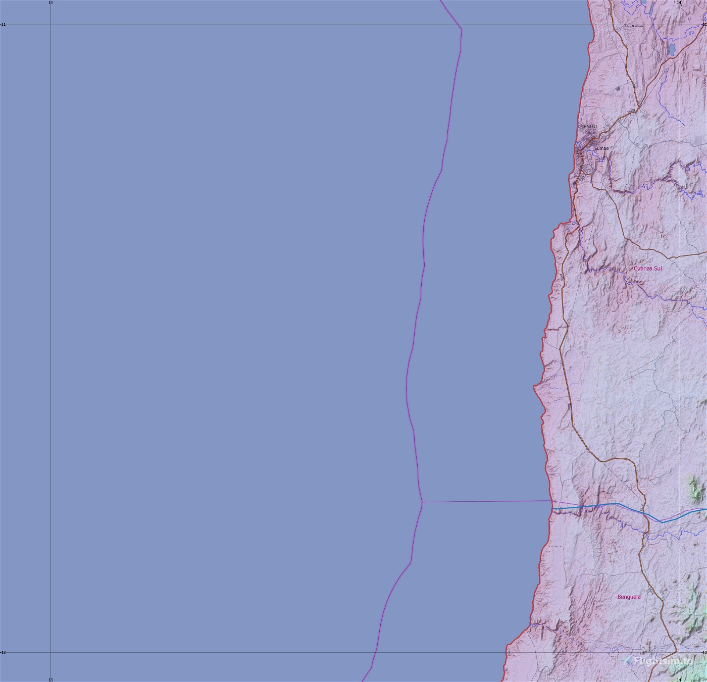
Any large Payware and Freeware Airport I could think of, has been excluded from the mesh. So hopefully the glitches will be minimal. The coastline should be completely redesigned .... it could be the subject of a separate project.
Please report any bugs with sceneries or airports and I will see what I can do!
ACKNOWLEDGEMENT
Alaska Satellite Facility
Dataset ALOS PALSAR_Global Radar Imagery (2006-2011) Radiometric Terrain Corrected (RTC) DEM 12.5mt
Created using MSFS Toolkit by Nool Aerosystems (MSFS Toolkit)
Thank you both and for anyone reading this: Please go ahead and support them!
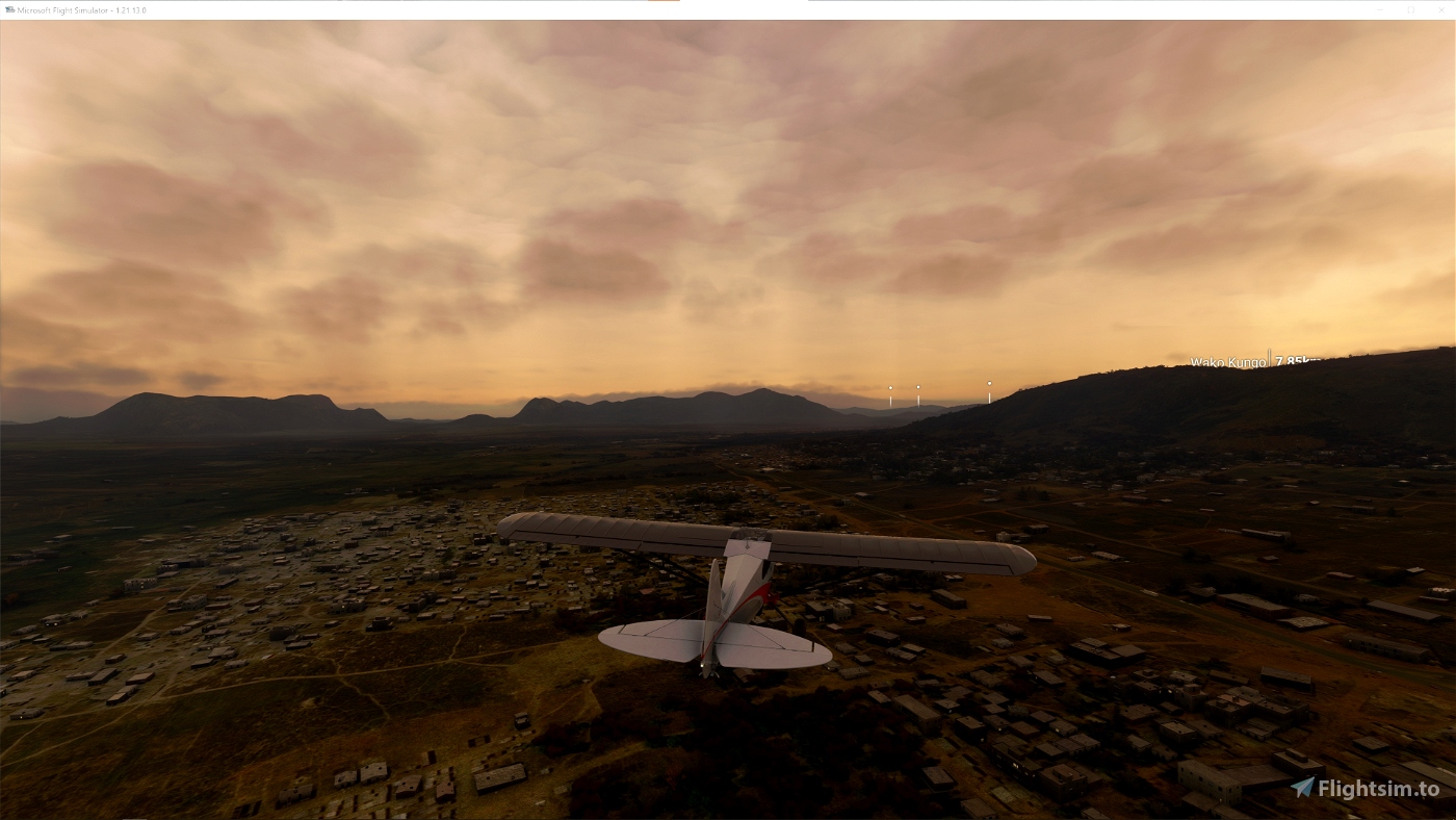
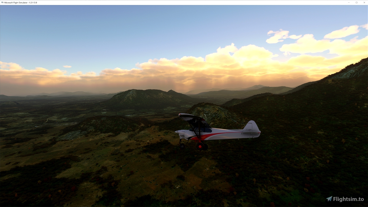
Enjoy your VFR flights above the Angola!
Ivao Angola and AO SOG - Grupo Virtual de Operações Especiais de Angola (FAN Virtual)
On Discord: Gjanosh61#9850

 Gjanosh61


Top
11 months ago
TheAfricanFlyer
Magnífico, muito obrigado.
2 years ago
TheAfricanFlyer