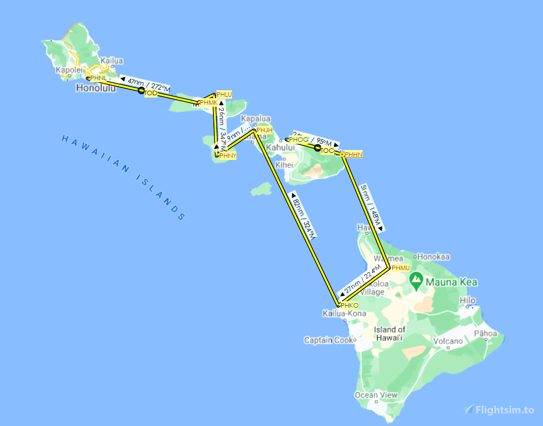

Visiting the nine airports listed on the Mokulele Airlines website, this route is 283 nautical miles around the Hawaiian islands. I’ve included the flight plan in both MSFS (.pln) and Little Navmap (.lnmpln) formats. The safe altitude for flight is 6,500 feet.
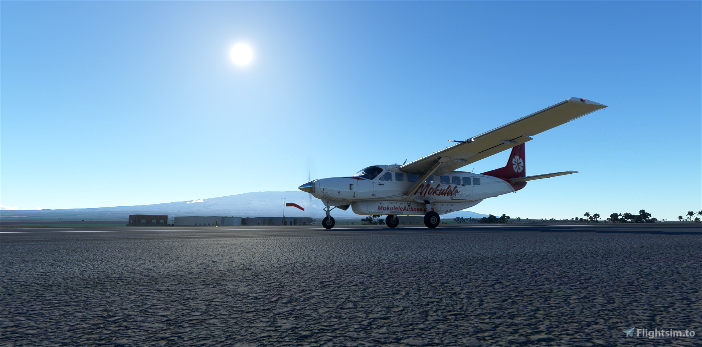
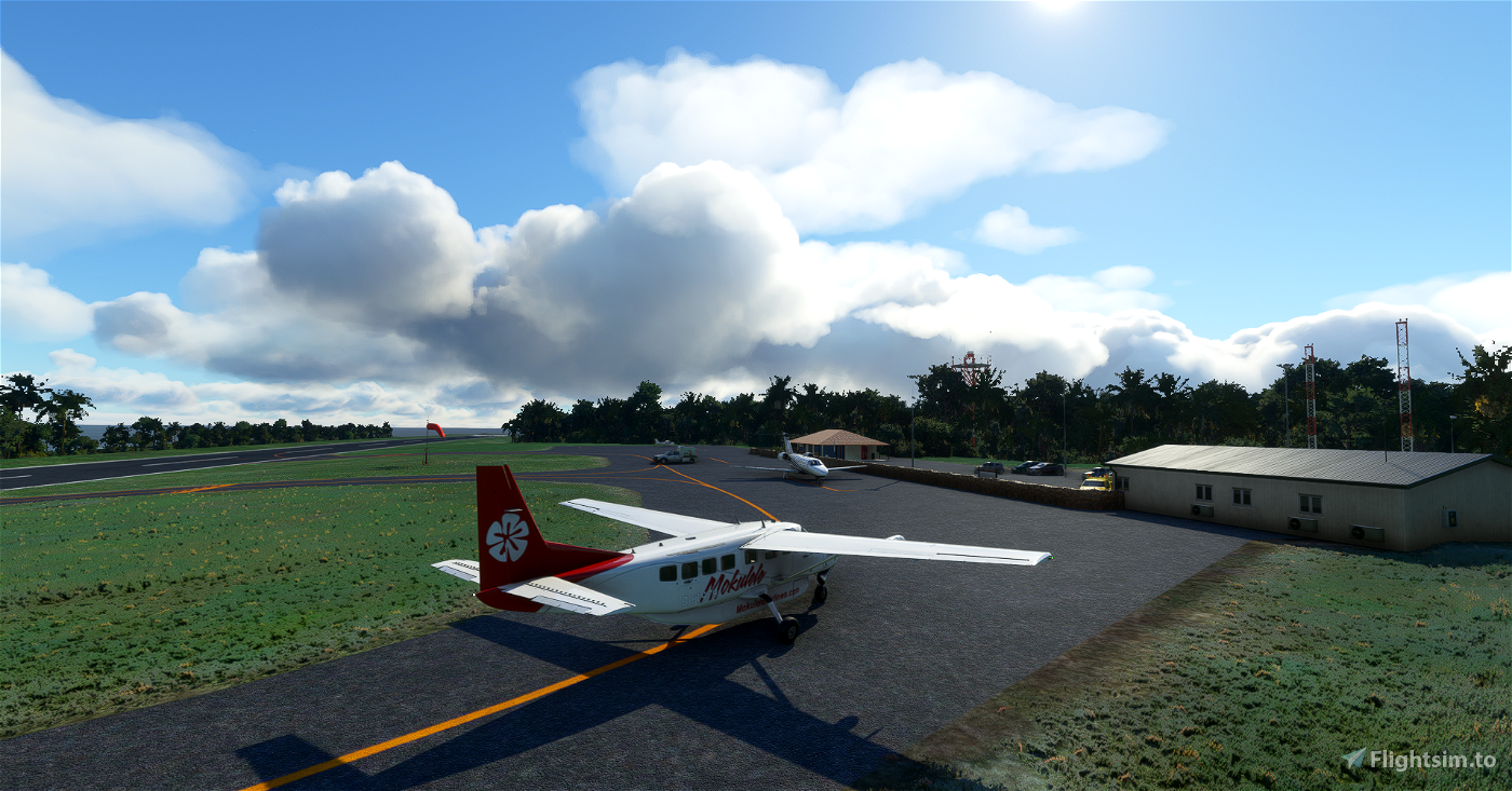
Rob54613 has recreated two Mokulele Airlines’ Grand Caravan liveries. Download them here and here. I've linked the sole airport add-on I have in the route below. That one is freeware; there may be more at payware level.
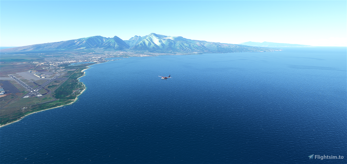
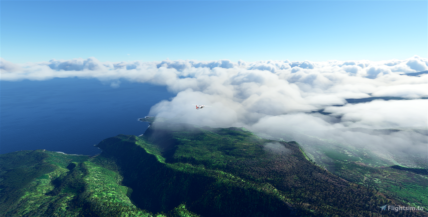
We start at Kahului (PHOG), on Maui, where the airline is based, and head 24 nm east, over the Koolau Forest Reserve, to Hana (PHHN), then south for 51 nm, over the Maui Channel and the 5,500-foot Kohala mountain, onto Hawai’i for stops at Waimea-Kohala (PHMU) and Kona International (PHKO). We then return to Maui, flying over West Maui Forest Reserve, for a stop at Kapalua (PHJH) on the western edge of the island. From there, it’s southwest to the airport of the island of Lana'i (PHNY). Turning north, we fly on to Moloka’i for stops at Kalaupapa (PHLU) and Molokai'/Hoolehua (PHMK). From there, our final destination is Honolulu International (PHNL) on O’ahu.

 newtestleper

