Another Corsica Tour
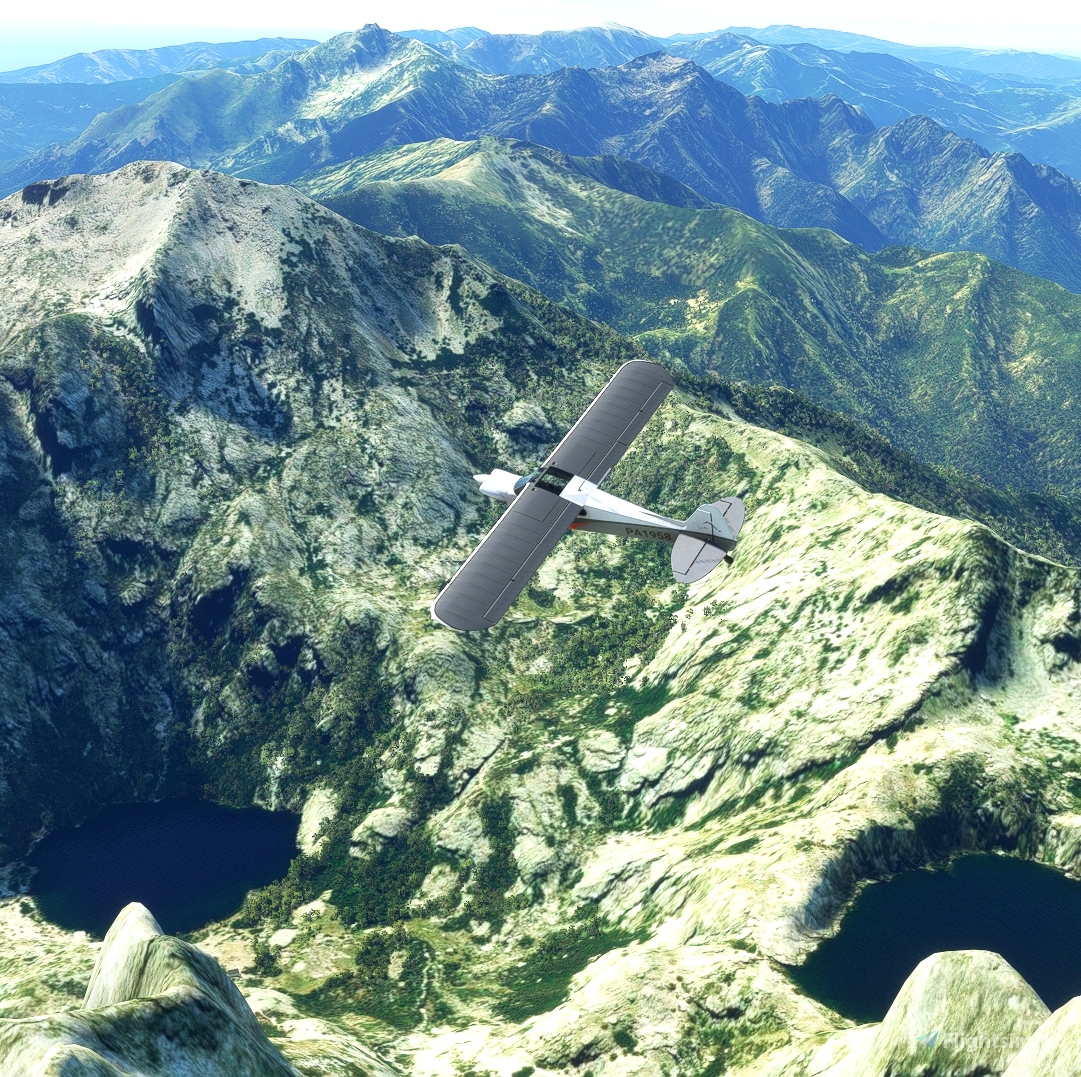
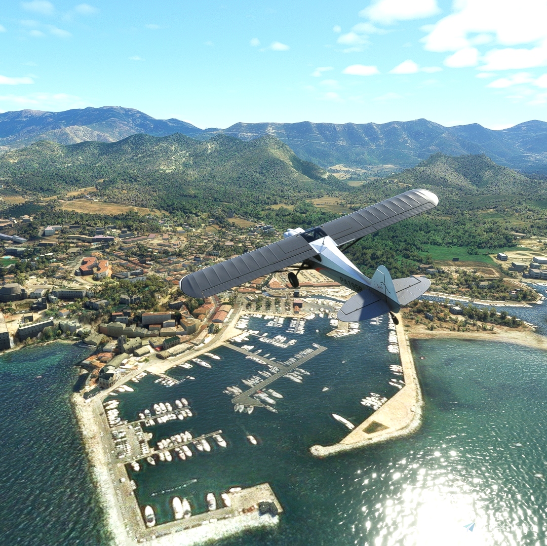
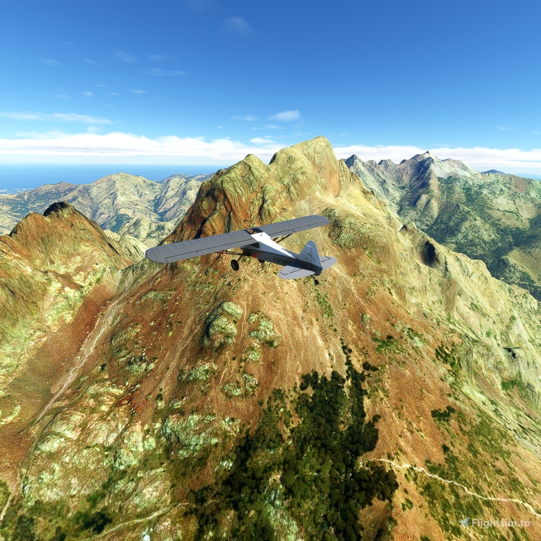
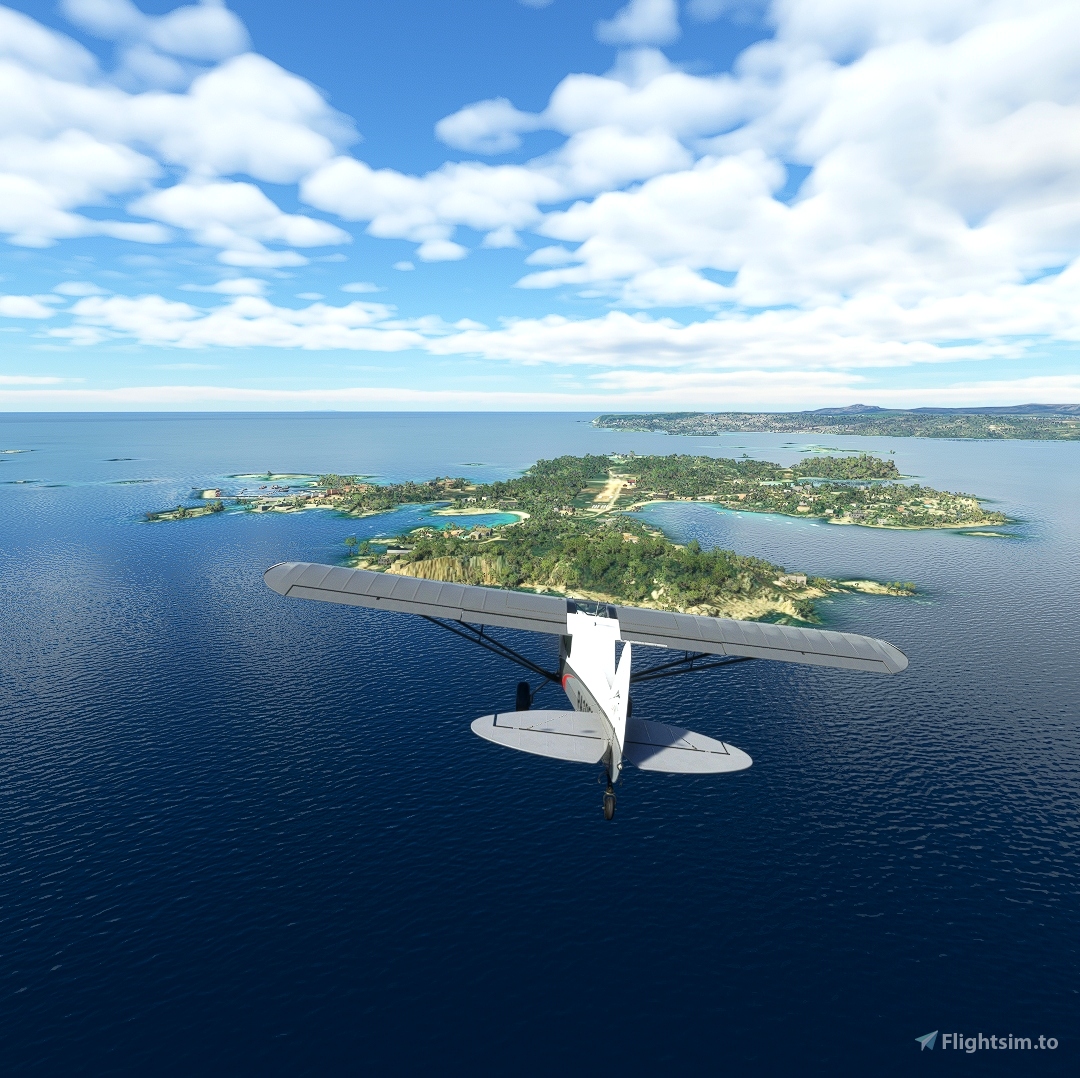
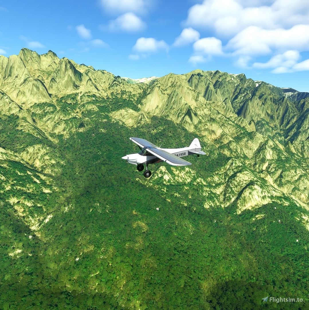
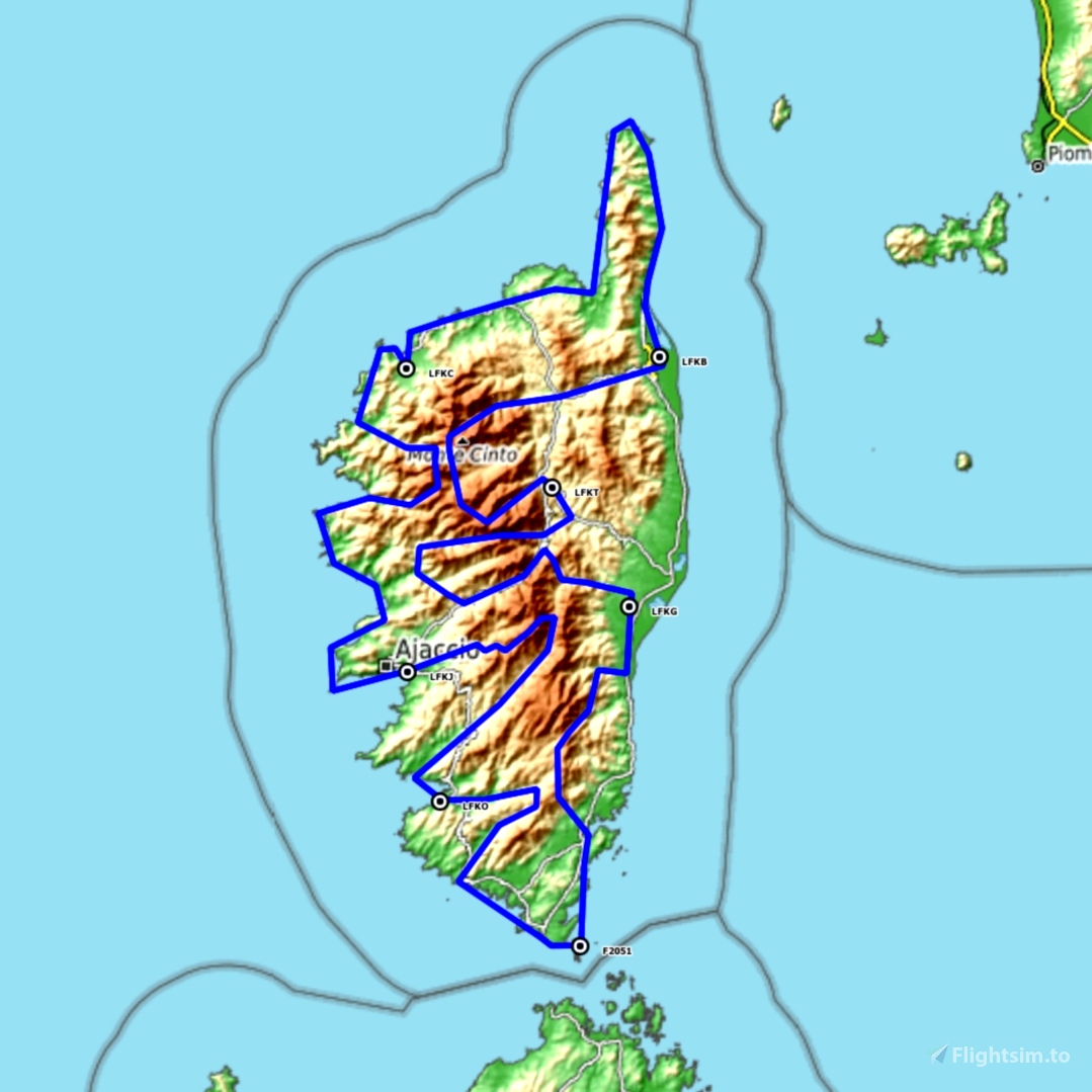
This bush trip is a circular flight around Corsica from Ajaccio. You will discover the magnificent Corsican coasts and mountains in seven stages passing through Calvi, Bastia, Corte, Alzitone, the Lavezzi islands, Propiano and finally a return to Ajaccio.
The navigation log offers photographs of the different waypoints and some limited historical or geographical information.
However, the photographs are there for illustration and do not necessarily represent the point of view that you will have during the flight.
I called this bush trip “Another Corsica Tour” because JMC has already offered to discover Corsica in the excellent “Corsica bush Trip”.
My intention is not to copy but rather to offer other points of view, even if Corsica is not such a big island.
I hope he won't hold it against me.
You will fly on an X-Cub, the GPS will facilitate your navigation. The total duration of the flight is around five hours, and you will certainly have to refuel along the way (please note that refueling is not possible in Cavallo).
If you want a more challenging navigation experience, you can change to a Savage Cub.
To do this, manually edit the "Corsica-Bush-Trip.FLT" file and replace the "Sim=Asobo XCub" line with "Sim=Asobo Savage Cub".
You can also, and more simply, use the excellent “MissonChanger” by BuffyGC.
TO COMPLETE THIS FLIGHT, YOU WILL NEED TO INSTALL THE FILE:
https://flightsim.to/file/1245/lf2051-cavallo-corse
which defines the missing Cavallo airport in MSFS.
To complete a leg, you must stop the engine and cut the power to the avionics and battery.
This add on is available in all languages supported by MSFS, except Japanese and Norwegian.
However, only French and English have been reviewed manually. Other languages have been translated automatically without human intervention and the translation may contain errors.
The flight plan in LNMPLN format is included in the download.
Credit:
- BuffyGC for BushtripInjector which I used to create this bush trip
- Alexander Barthel for Little Navmap which allowed me to create the flight plan
- Wikipedia and all contributors for the information given in the navigation log
- Anonymous contributors for the photographs illustrating the flight log.
A big thank you to all.
Un Autre Tour de Corse
Ce vol de brousse est un vol circulaire autour de la Corse au départ d’Ajaccio. Vous découvrirez les magnifiques littoraux et montagnes corse en sept étapes passant par Calvi, Bastia, Corte, Alzitone, les iles Lavezzi, Propiano et finalement un retour à Ajaccio.
Le journal de navigation propose des photographies des différents waypoints et quelques informations historiques ou géographiques limitées.
Toutefois, les photographies sont là pour illustration et ne représentent pas forcément le point de vue que vous aurez durant le vol.
J’ai appelé ce vol de brousse « Un autre tour de Corse » car JMC à déjà proposé de découvrir la Corse dans l’excellent « Corsica bush Trip ».
Mon intention n’est pas de copier mais plutôt de proposer d’autre points de vue, même si la Corse n’est une si grande ile.
J’espère qu’il ne m’en tiendra pas rigueur.
Vous volerez sur un X-Cub, le GPS facilitera votre navigation. La durée totale du vol est d’environ cinq heures et vous devrez certainement vous ravitailler en carburant en cours de route (attention, le ravitaillement n’est pas possible à Cavallo).
Si vous souhaiter une expérience de navigation plus difficile vous pouvez changer d’appareil pour un Savage Cub.
Pour cela, éditez manuellement le fichier « Corsica-Bush-Trip.FLT » et remplacer la ligne "Sim=Asobo XCub" par "Sim=Asobo Savage Cub ".
Vous pouvez également, et plus simplement, utiliser l’excellent « MissonChanger » par BuffyGC.
POUR TERMINER CE VOL VOUS DEVEZ INSTALLER LE FICHIER :
https://flightsim.to/file/1245/lf2051-cavallo-corse
qui définit l’aéroport de Cavallo manquant dans MSFS.
Pour terminer une étape, vous devez arrêter le moteur et couper l'alimentation de l'avionique et de la batterie.
Cet add on est disponible dans toutes les langues supportées par MSFS, excepté le Japonais et le Norvégien.
Toutefois, seul le Français et l’Anglais ont été revus manuellement. Les autres langues ont été traduite automatiquement sans intervention humaine et la traduction peux contenir des erreurs.
Le plan de vol au format LNMPLN est inclus dans le téléchargement.
Crédit :
- BuffyGC pour BushtripInjector qui m’a servi à créer ce vol de brousse
- Alexander Barthel pour Little Navmap qui m’a permis de créer le plan de vol
- Wikipedia et tous le contributeurs pour les informations données dans le journal de navigation
- Les contributeurs anonymes pour les photographies illustrant le journal de vol.
Un grand merci à tous.
