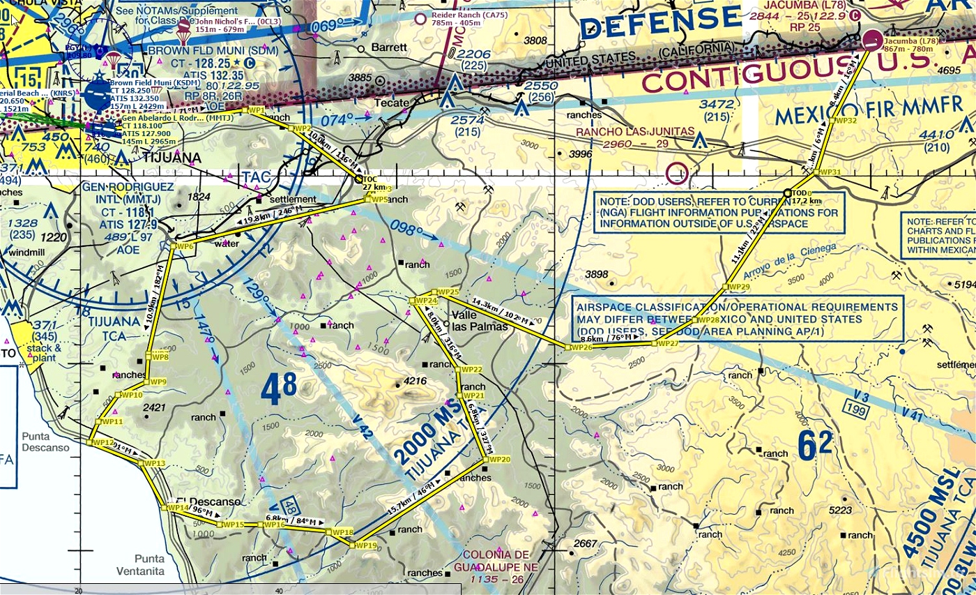
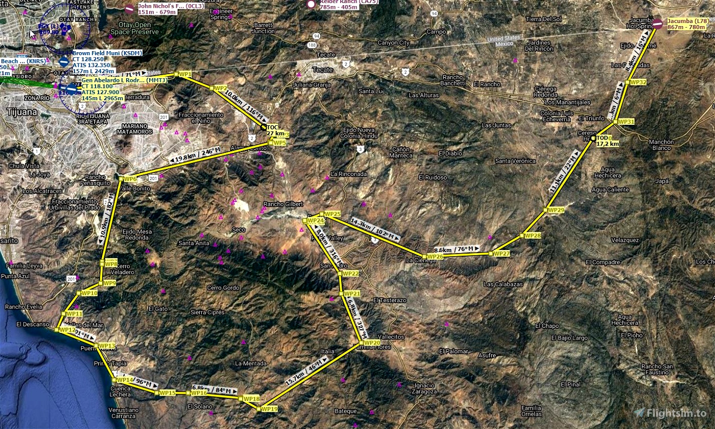
Mexico - Baja California region
This bush trip is meant to be played as a navigation challenge (without GPS). I would recommend using LittleNavMap with google maps satellite layer and terrain layer. - https://www.avsim.com/forums/topic/548994-new-maps-for-lnm/
Just set “show aircraft position” and “show aircraft trail” to off.
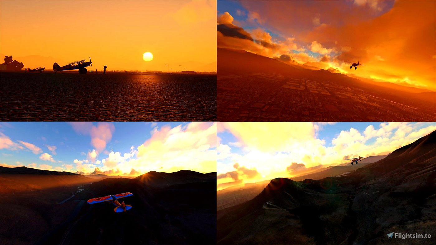
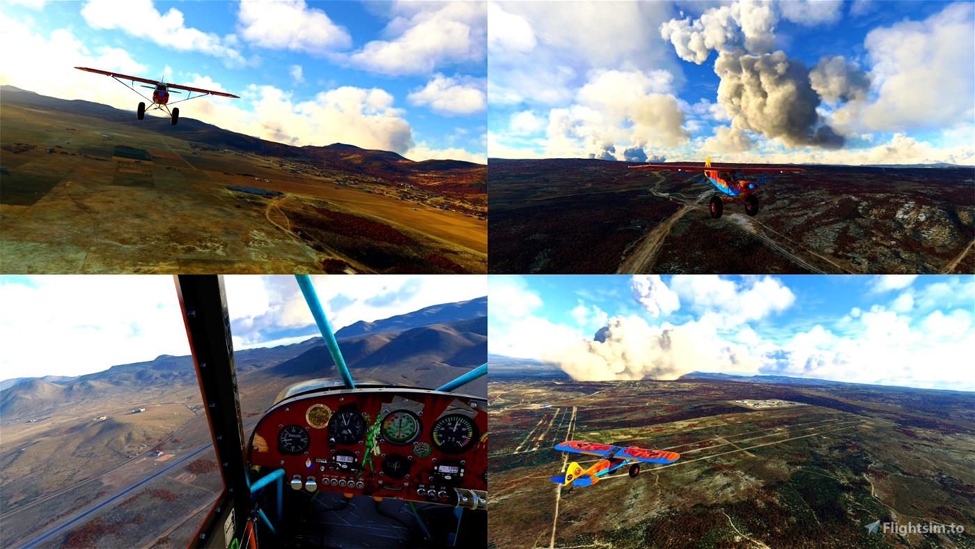
This flightplan doesn’t have any too hard landings and you can fly it in any plane you like.
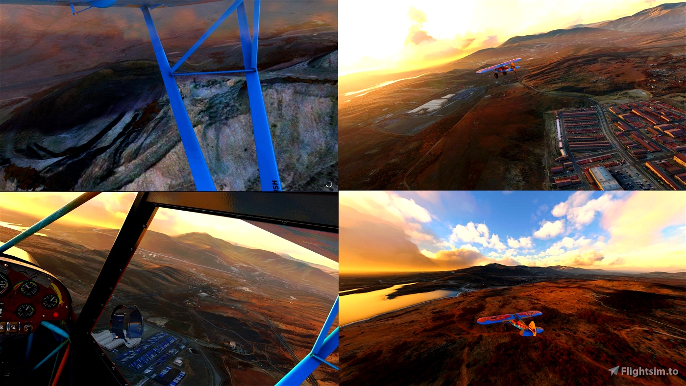
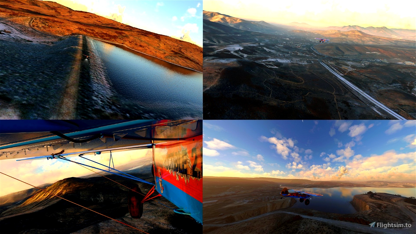
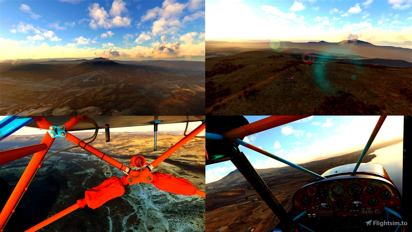
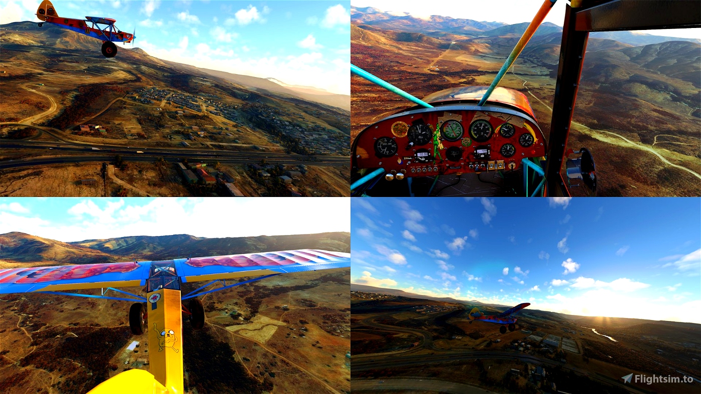
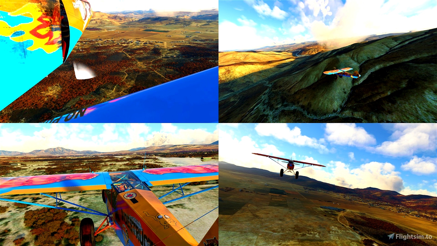
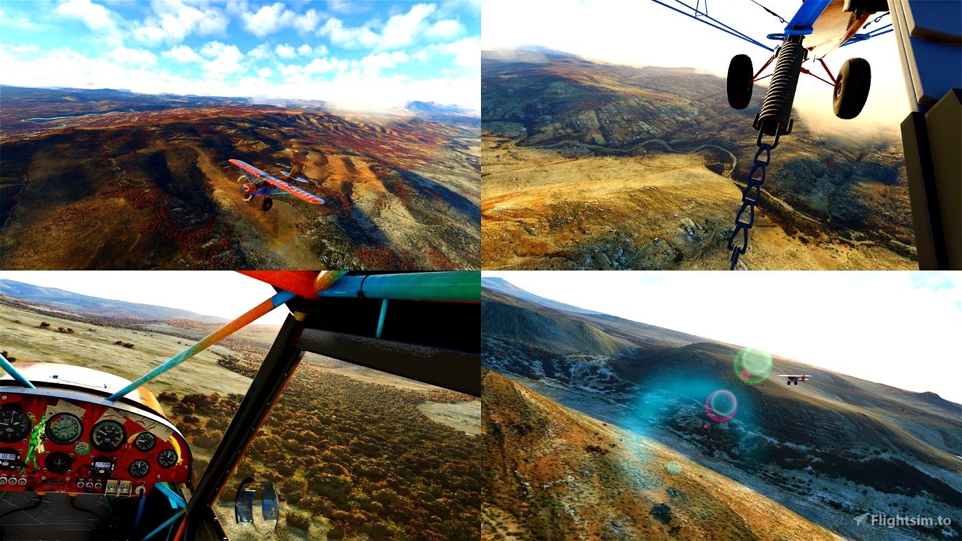
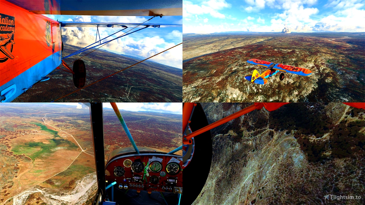
I was flying Savage Grravel - https://flightsim.to/file/5061/savage-grravel-monster-truck-in-the-skies
This is not too hard orientation challenge. With a bit of planing you should be able not get lost. Or you can just use GPS and just enjoy the scenery. It’s a game anyway ;)
Whenever there are two waypoints close to each other there’s a place to land roughly on the line between those two points. None of them are hard to land.
This is a shorter trip (200km) but very nice. This part of Mexico has very detailed satellite imagery
If you enjoy this or if you need more extreme STOL landings check my other flightplans:
https://flightsim.to/profile/drStation/uploads

 drStation

