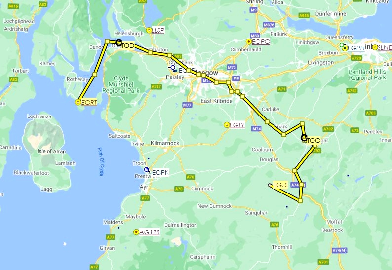
Following the route of the 110-mile/170-km long River Clyde from its source to its mouth. The route is 90 nautical miles. Scenery for the destination airport, Bute (EGRT), can be downloaded here. The flight plan is included in .pln (MSFS) and .lnmpln (Little Navmap) formats.
We take off from Stonehill Farm (EGJS) and fly 7 miles southeast to the source, near Glendochar, then turn north. The river passes under the A74 at Elvanfoot and then follows it for a couple of miles before veering off to the northeast, as does the A702.
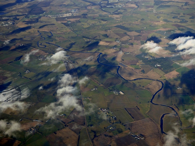
After another 7 miles, before reaching Biggar we turn northwest briefly, then north to Carstairs Junction (see this winding section in the one real-life image with this upload). A turn to the southwest takes us back towards what has now become the M74.
Just after Hyndford Bridge, we turn northwest again for about 12 miles, passing over Lanark, Larkhall and Hamilton before weaving slightly around Uddingston.
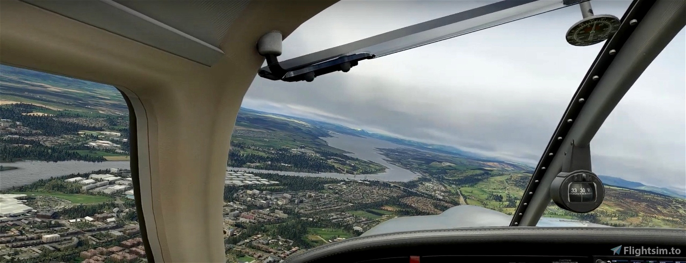
We turn due west where the M74 and M73 split and follow the former into Glasgow, where the river starts to widen.
Continuing northwest, we pass Glasgow Airport (EGPF) on the left, shortly before the river widens again around the Erskine Bridge.
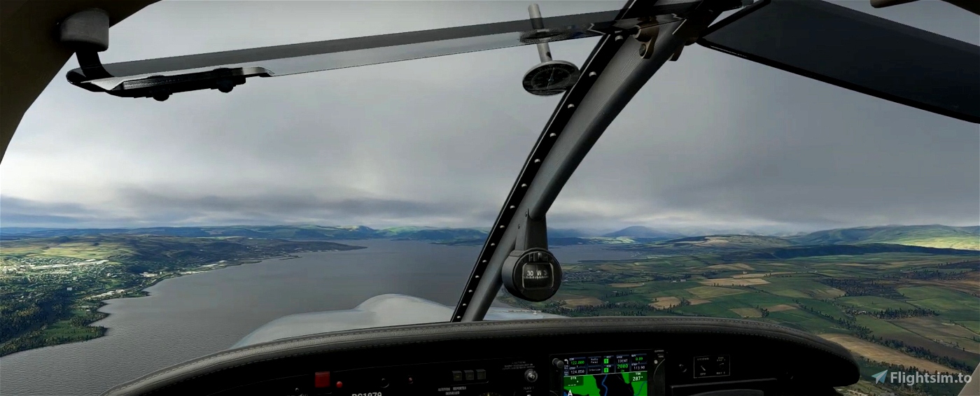
We soon see the entrances to (from right to left) Gare Loch, Loch Long and the Holy Loch. Shortly before the the latter, we turn south at Hunters Quay and into the Firth of Clyde.
Keep an eye out, on the eastern (near) side of the upcoming Isle of Bute, for Mount Stuart, a modelled POI. Our destination, EGRT, is about three miles southwest of the country house.

 newtestleper

