CYVN Cape Dyer, Nunavut, Canada scenery modification for Microsoft Flight Simulator 2020.
VERSION 2.0
FREE AND EXCLUSIVE TO FLIGHTSIM.TO (If you find this file elsewhere, let me know).
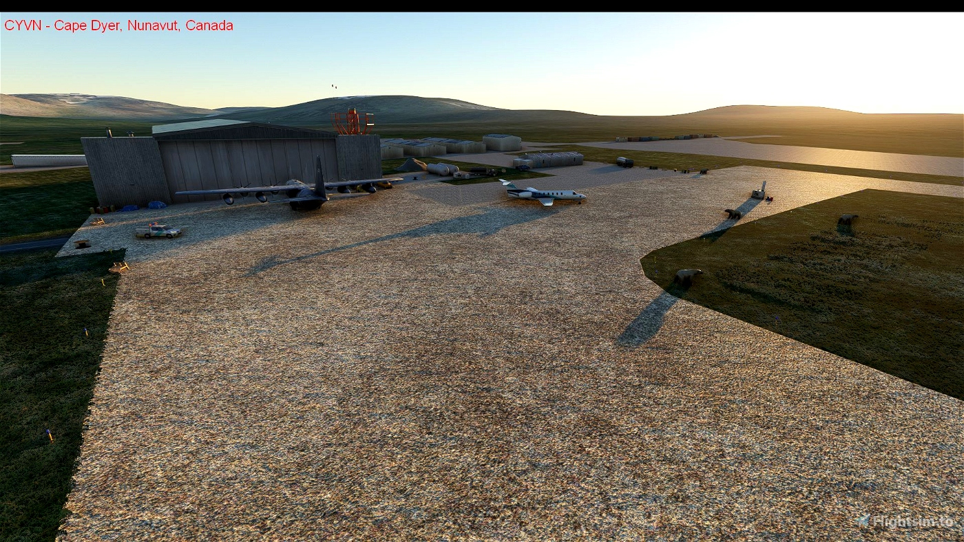
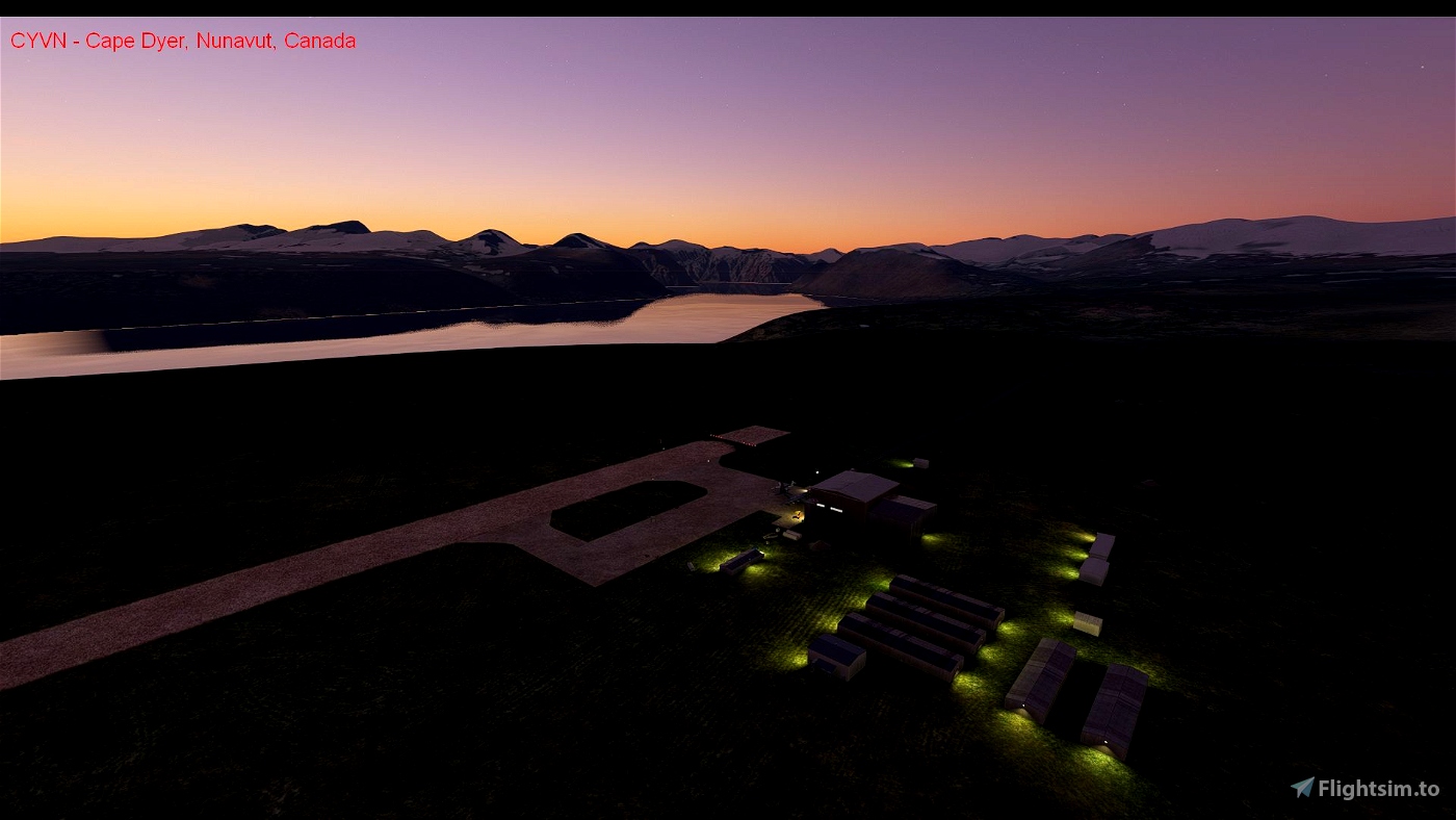
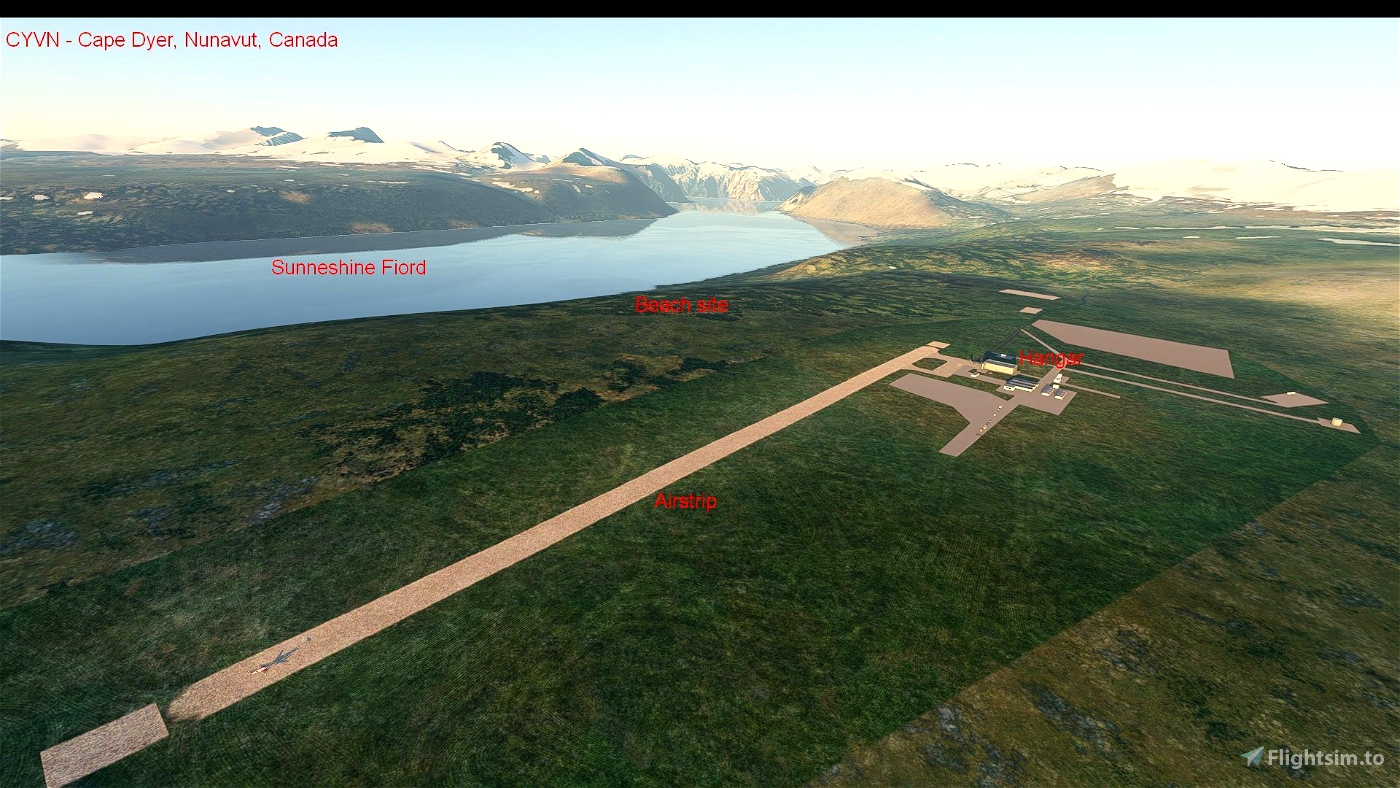
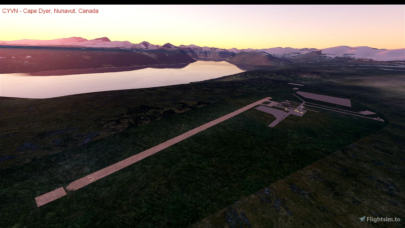
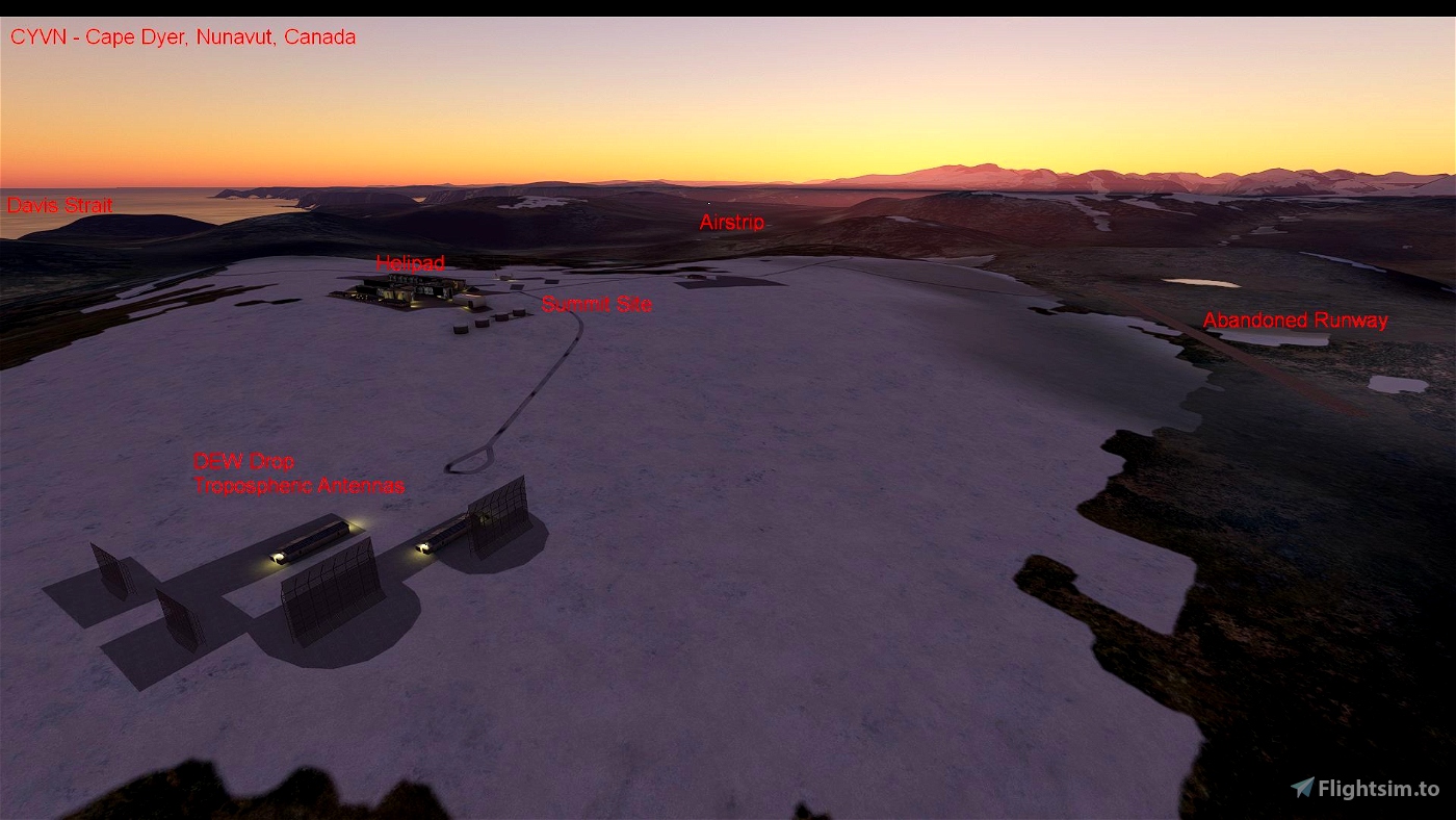
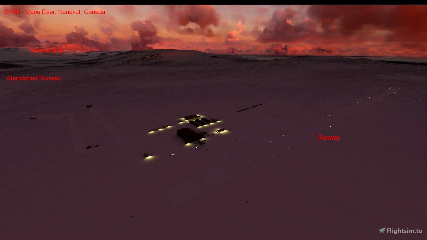
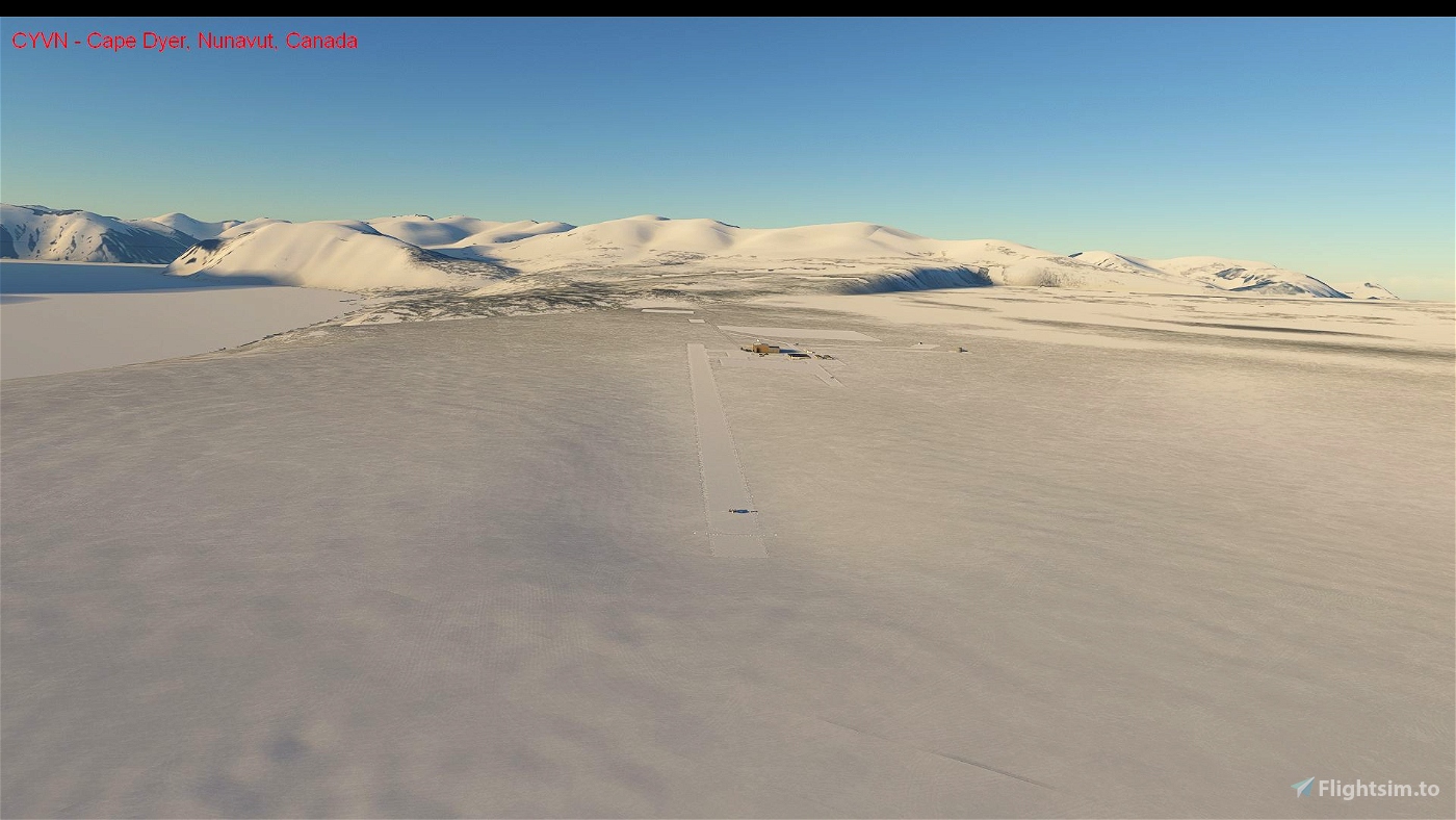
In the default scenery, the Cape Dyer airstrip is missing, represented by a grass texture and not a gravel airstrip. The buildings are incorrect. This scenery adds the abandoned Cape Dyer airstrip using information from the Canadian Flight Supplement (expired editions), the internet and personal memory. Only default MSFS SDK scenery elements are used. The beach area and upper (summit) site have also been modified. The scenery does not make the site look like what it does today, but what it looked like around 2001. Many of the large antennas, some buildings and fuel tanks have since been removed. Lighting is from the 1980s and abandoned airstrips used during site construction in the 1950s are also included.
Scenery includes:
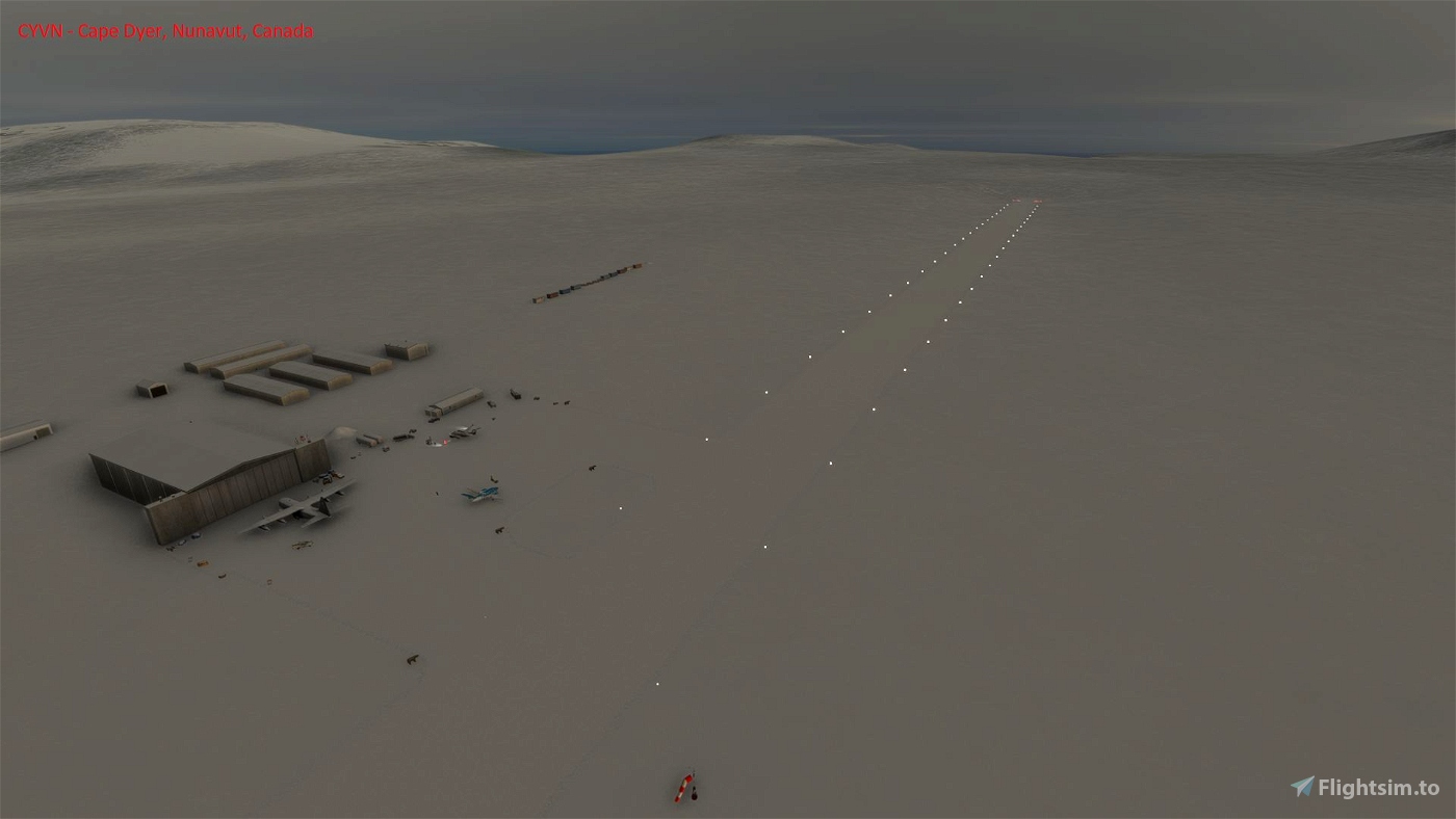
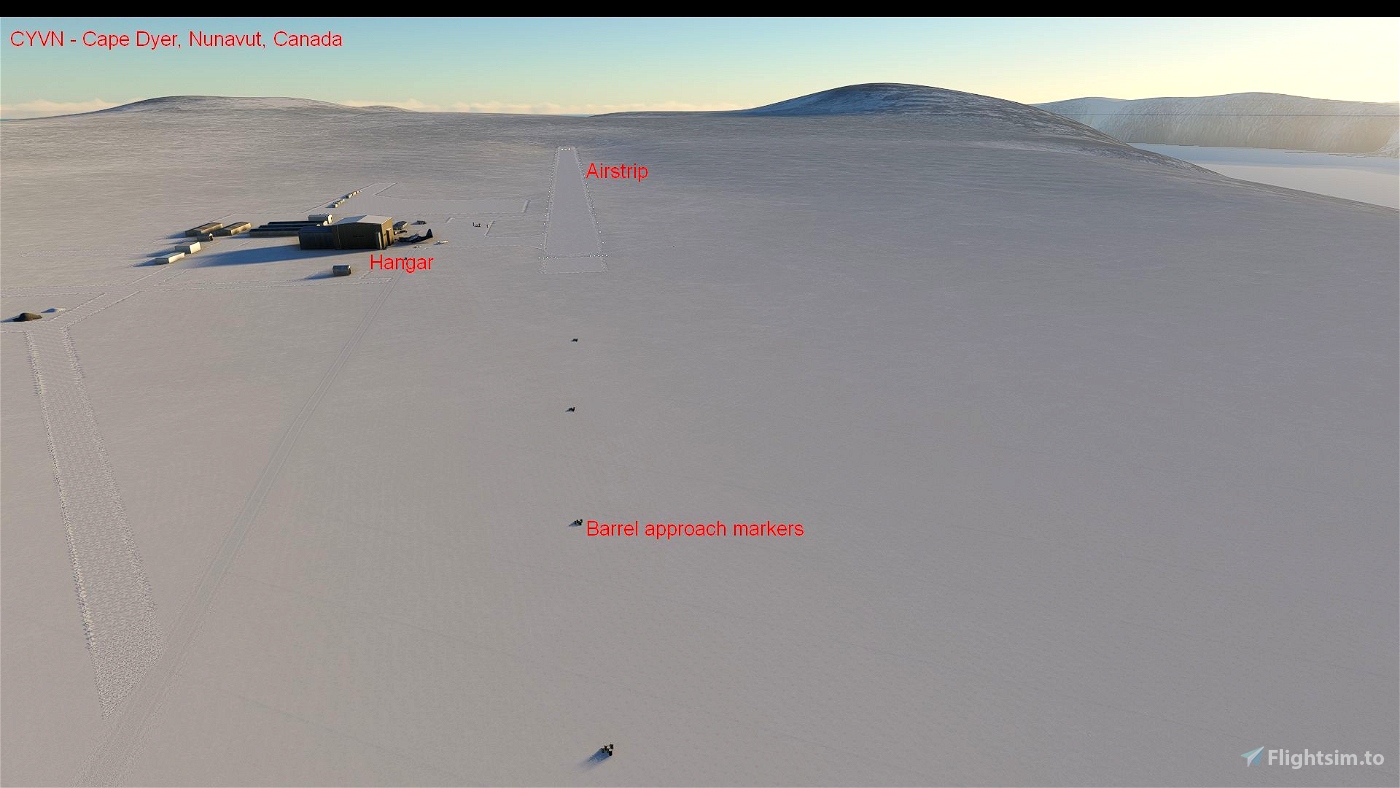
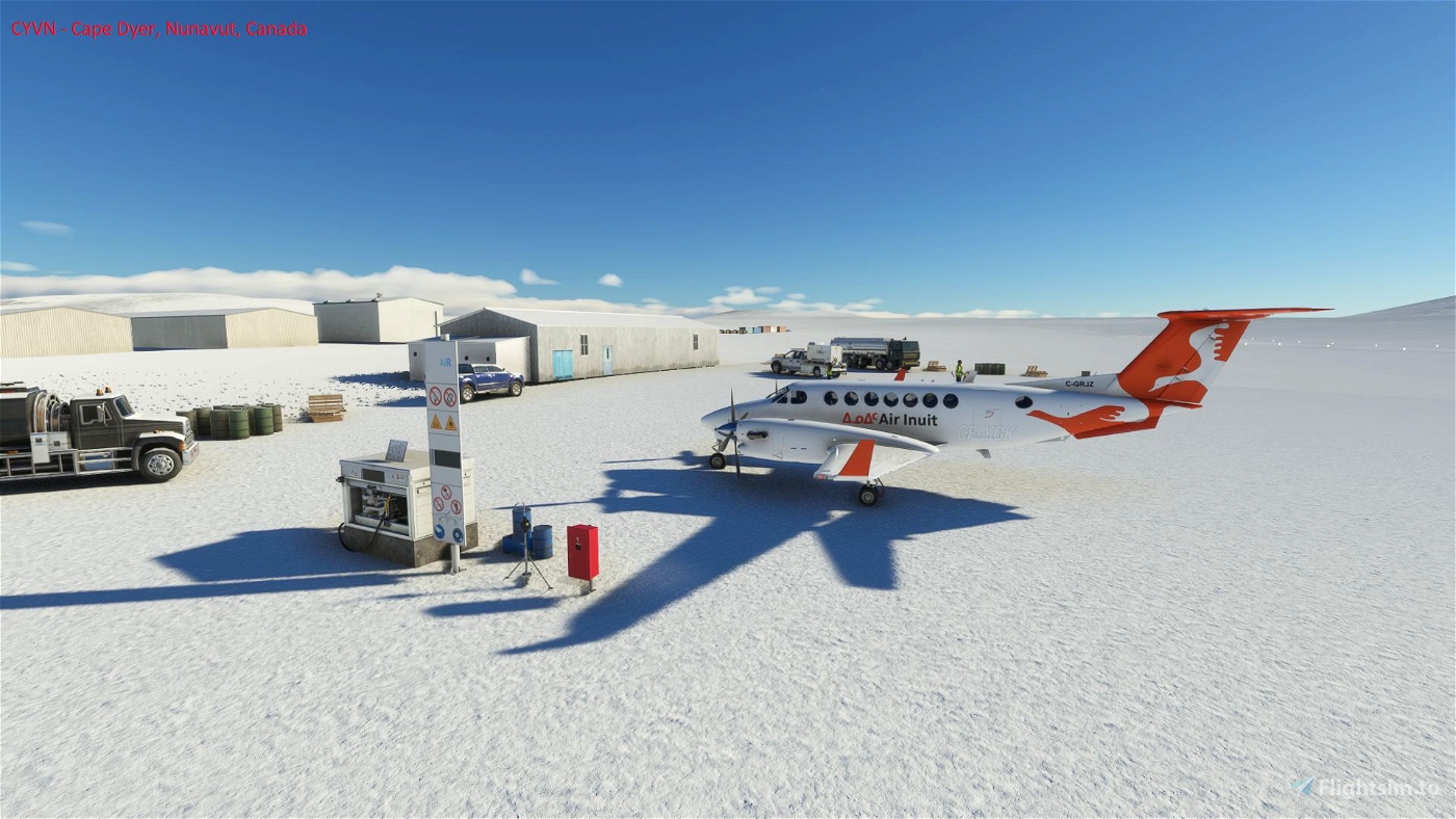
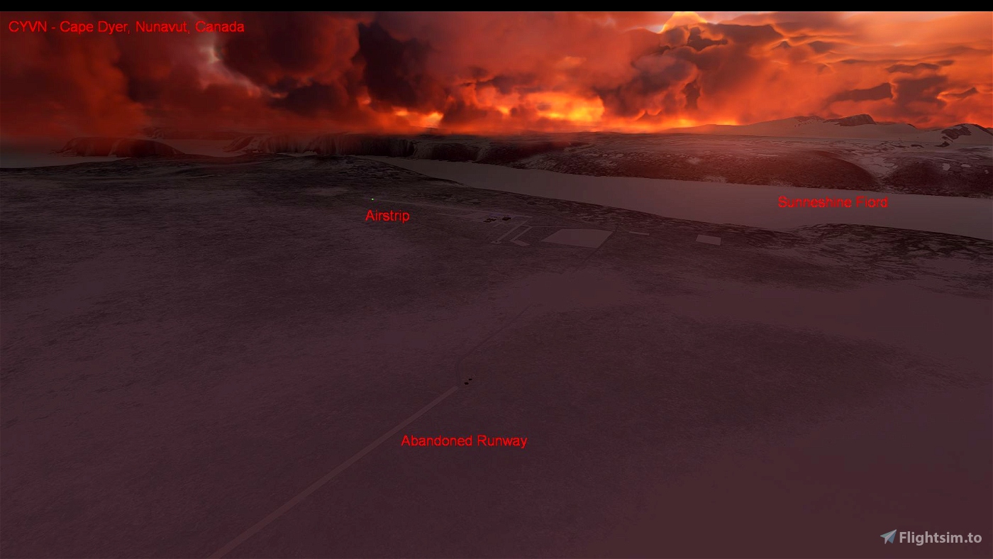
* 5015 x 150 feet gravel airstrip at 1,290 feet elevation
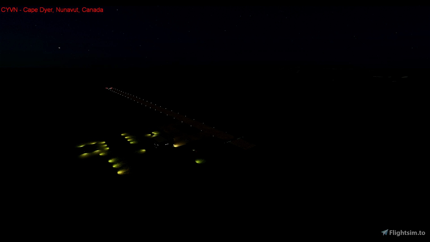
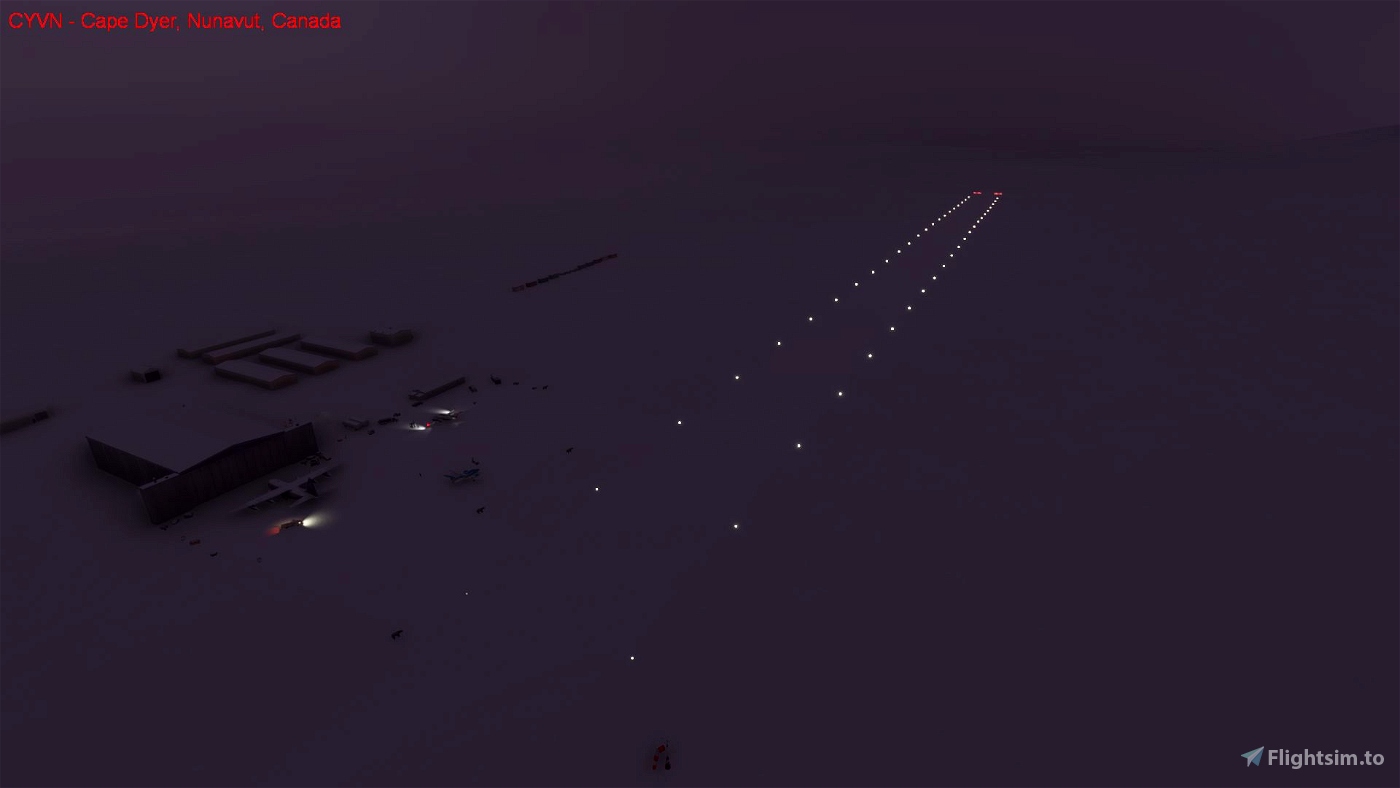
- Low intensity runway lighting (deactivated in reality)
- Threshold end lighting (deactivated in reality)
- Windsock (not maintained in reality)
- 200 feet overruns
- Apron
- Refueler (not functional in reality)
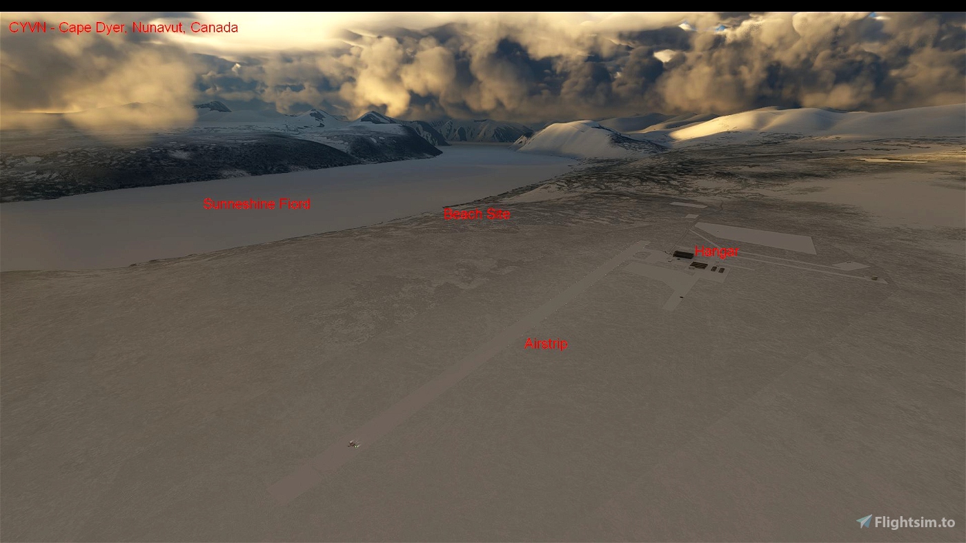
* Hangar (replacing default apartment building with best default SDK representation of the hangar).
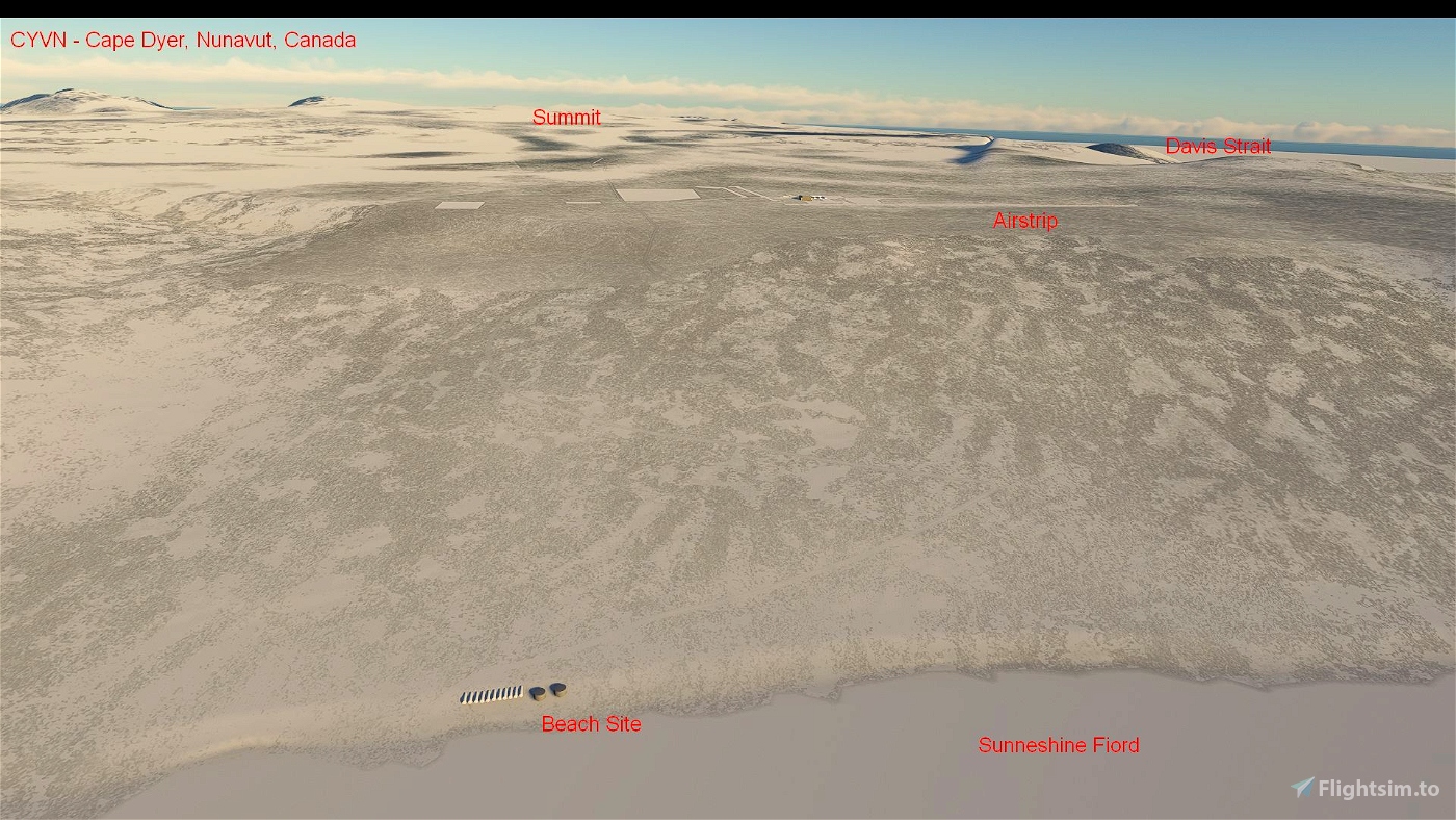
* Lower site (airstrip) buildings, fuel tanks, airstrip infrastructure and site clean up locations.
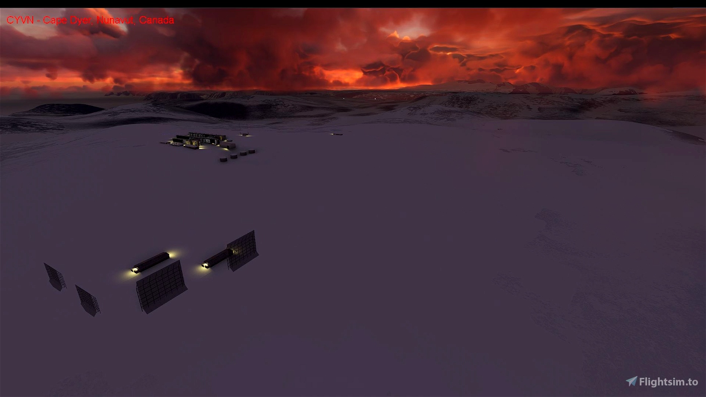
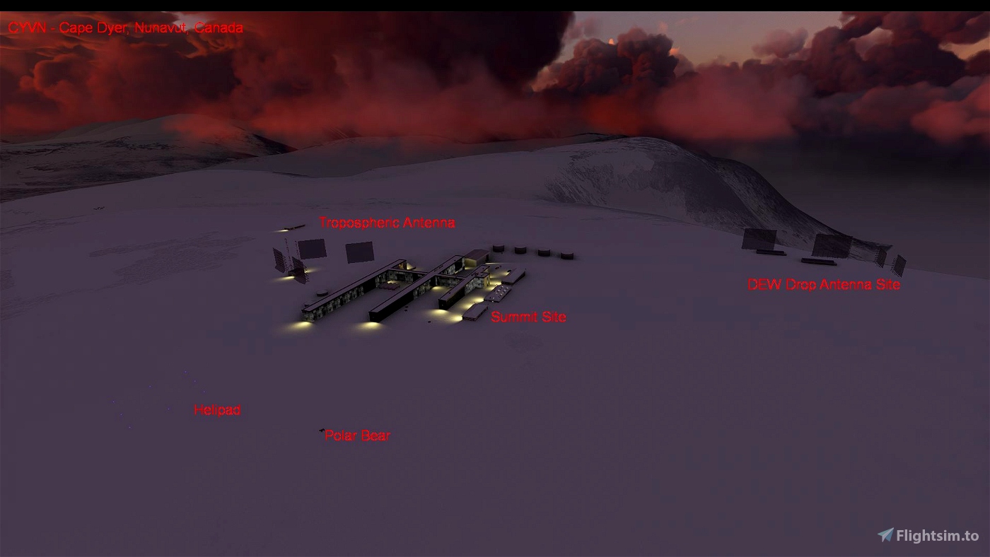
* Upper site (summit) buildings, antennas (removed in reality) best default SDK representions.
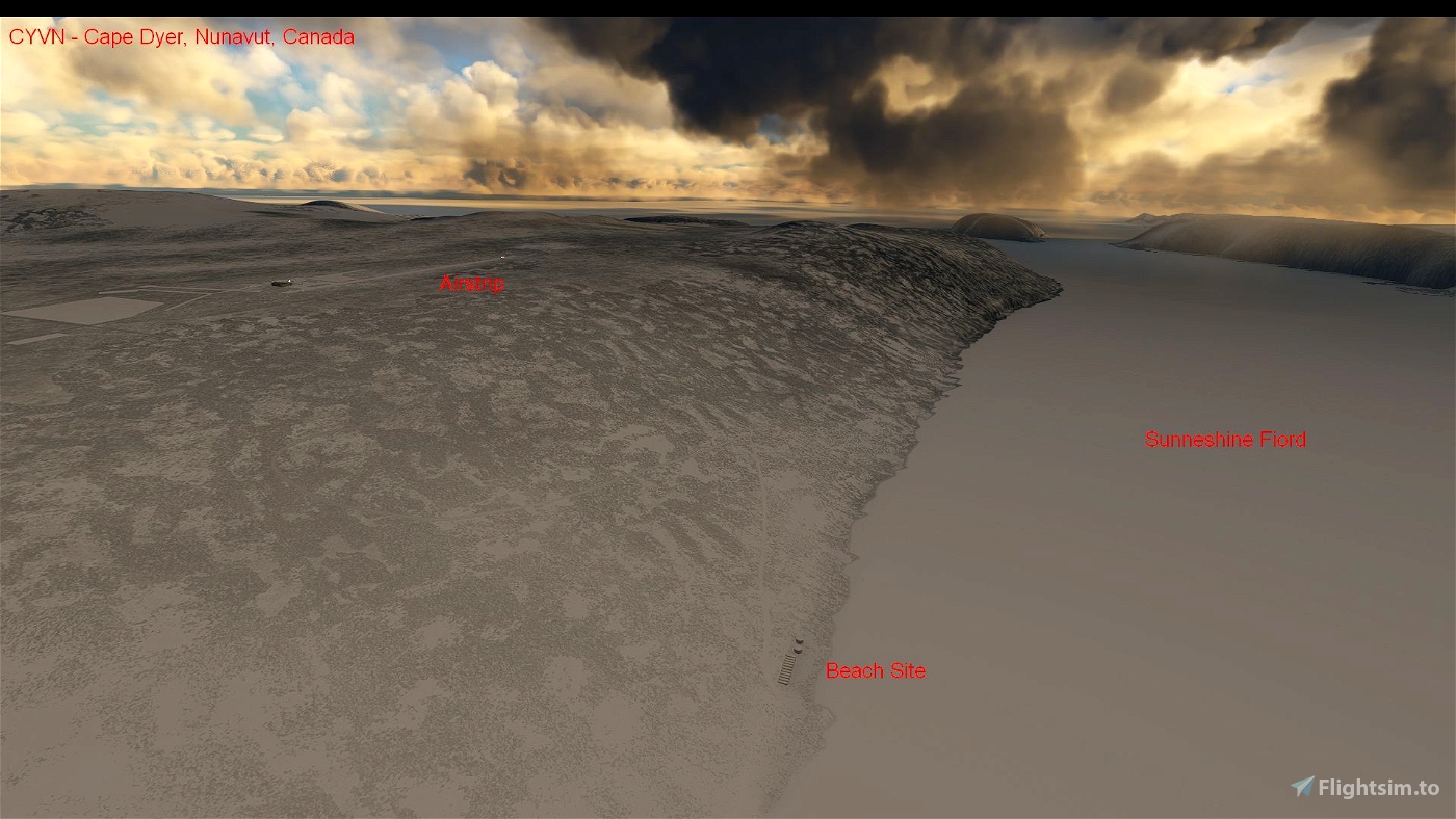
* Beach site fuel tanks (including some that have been removed in reality).
* Vehicles at various locations on the roads around the site.
* Polar bears in locations where they have been at all three sites and other locations on the site.
* Humpback Whales breaching in the fjord where they have been seen in reality.
* Removal of most trees from the area. (There are none in reality on Baffin Island).
* Barrel approach markers.
* Active upper site helipad with blue lighting (should be orange in reality).
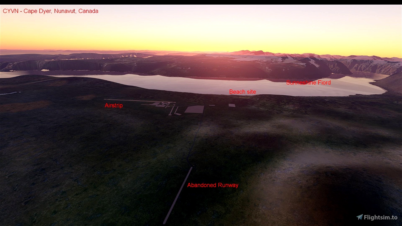
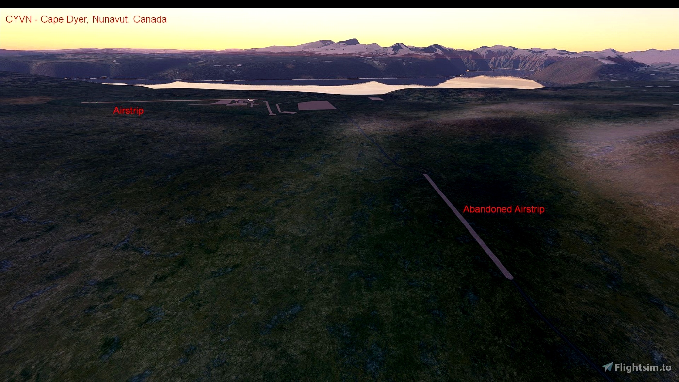
* Abandoned upper site airstrip (approximately 3700 x 125 feet).
* Abandoned road airstrip (approximately 2150 x 55 feet).
* Points of Interest (POIs) identifying nearby geographic features, site locations, abandoned runways and polar bear locations.
Improvements to come:
* Improved runway markings.
* Improved helipad lighting.
* Replacing upper site buildings with better representations.
* Adding shipping in Sunneshine Fiord and Davis Strait.
* Changing textures to better represent the high arctic tundra vegetation of the area.
* removal of more trees on the surrounding landscape.
Location details of the airstrip:
* ICAO: CYVN (Weather station known as CWFD but airstrip using older code)
* IATA: YVN
* Airstrip (Lower site) location: 66-35-47 N, 61-34-49 W (66.596408, -61.580270)
* Upper (summit) site location: 66-39-52 N, 61-21-21 W (66.664444, -61.355833)
* Beach location: 66-35-41 N, 61-38-36 W (66.594801, -61.643318)
Cape Dyer is located approximately:
* 12.5 km southwest of the summit scene indicated above.
* 7.8 km east of the beach scene indicated above.
* 150 km southeast of Qikiqtarjuak (Broughton Island) airport.
* 190 km east of Pangnirtung airport, Nunavut, Canada
* 305 km southeast of Cape Hooper airport, Nunavut, Canada
* 455 km northeast of Iqaliut airport, Nunavut, Canada
* 470 km west of Kangerlussuaq airport, Greenland
* 530 km northwest of Nuuk airport, Greenland
History:
Cape Dyer is located on the easternmost point of Baffin Island. It was a Distant Early Warning (DEW) line radar station known as DYE-Main (DYE-M) built in 1956-57. It was also known as Site 41. The DEW Line site was closed in 1989 when the North Warning System (NWS) Long Range Radar site became operational.
For more information on Cape Dyer:
https://en.wikipedia.org/wiki/Distant_Early_Warning_Line
https://en.wikipedia.org/wiki/North_Warning_System#Cape_Dyer
http://lswilson.dewlineadventures.com/dyepics/
VERSIONS:
Version 1.0 - April 2021
Version 2.0 - February 2022
Added abandoned airstrips at mid site and upper site.
Added lighting at the main airstrip (as of the 1980s) and of the summit (as of the 1980s and today).
Added more polar bears.
Added Humpback Whales breaching in Sunneshine Fiord.
Installation:
Place the folder in your community folder and enjoy - the airstrip is starred and located on the southeasternmost point of Baffin Island
ENSURE YOU DELETE the older version before installing this one. The new file folder is "arh64cdn-cyvn" and the old one was "arh-cyvn". Thank you to newtestleper for catching this.
I hope you enjoy the updated area!
ARH64CDN - contact on www.flightsimulator.com
February 2022

 ARH64CDN


Please make note that you changed the file name from the original "arh-cyvn" so that people don't have both in their folder. Apologies if you mentioned it; I did not see it.
2 years ago
newtestleper